
Rooke Books
Libri
45 libri di Rooke Books
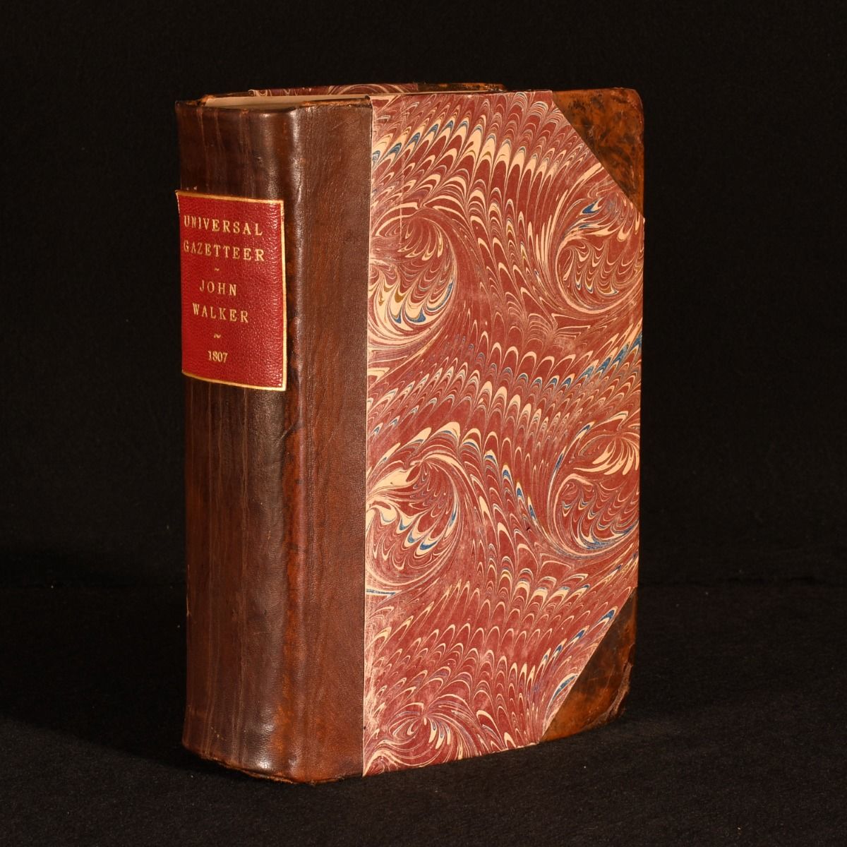
The Universal Gazetteer Being a Concise Description Alphabetically Arranged in the Known World
John Walker · 1807
£275.00 (€329.60 | $363.04 | ¥57,887)
London, J. Johnson; Verner, Hood, and Sharpe; et al. 1807. Leather. John Walker's detailed Gazetteer of the world, revised and expanded by Arthur Kenshaw and illustrated with many detailed folding maps, with a smart half calf binding. The fourth edition.Illustrated with a...
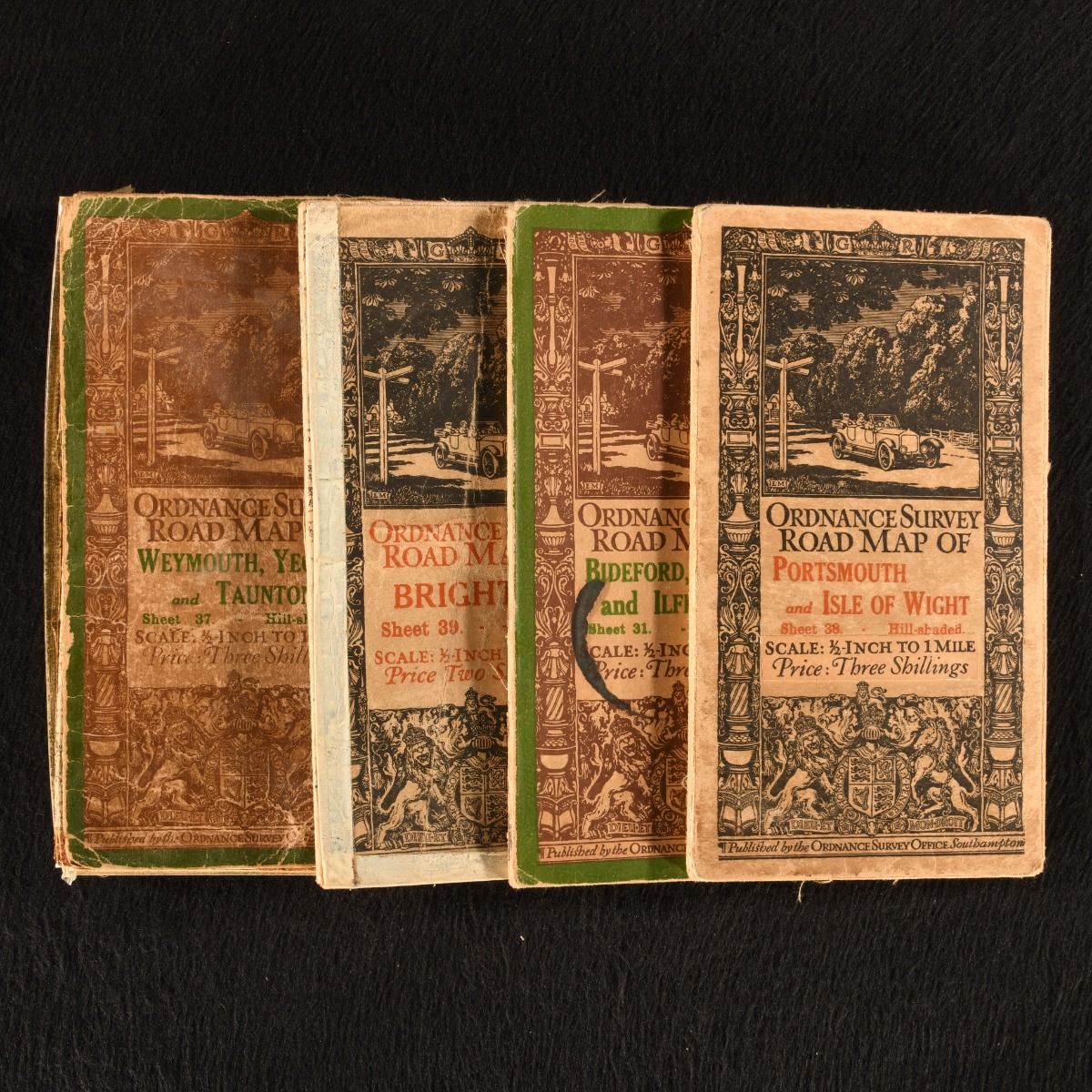
Ordnance Survey Road Map of: Weymouth, Yeovil and Taunton; Bideford, Tiverton and Ilfracombe; Brighton; Portsmouth and Isle of Wight
None · 1914
£40.00 (€47.94 | $52.81 | ¥8,420)
Southampton, Ordnance Survey Office , 1914-1915. Unbound. A fantastic set of four very scarce folding road maps from the Ordnance Survey Office. A selection of four sheets from this series of ordnance surveys. Scaled 1/2 inch to 1 mile. Containing the following sheets of roa...

Highways and Byways in Shakespeare&Apos;S Country & Highways and Byways in Sussex
W. H. Hutton; E. V. Lucas · 1914
£33.00 (€39.55 | $43.56 | ¥6,946)
London, Macmillan & Co. 1914-1919. Cloth. Two highly illustrated volumes of the highways and byways across the UK. Highways and Byways in Shakespeare's Country by W. H. Hutton with Illustrations by Edmund H. New & Highways and Byways In Sussex by E. V. Lucas with Illustra...
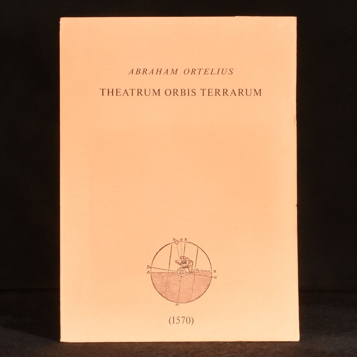
Theatrum Orbis Terrarum (Five Folding Maps)
None · 1570
£90.00 (€107.87 | $118.81 | ¥18,945)
Not Stated , Not Stated , c1970. Unbound. A terrific collection of five folding coloured reproductions of maps from 'Theatrum Orbis Terrarum' by Abraham Ortelius, considered the first modern atlas. A lovely set of five folding coloured maps, being reproductions of th...
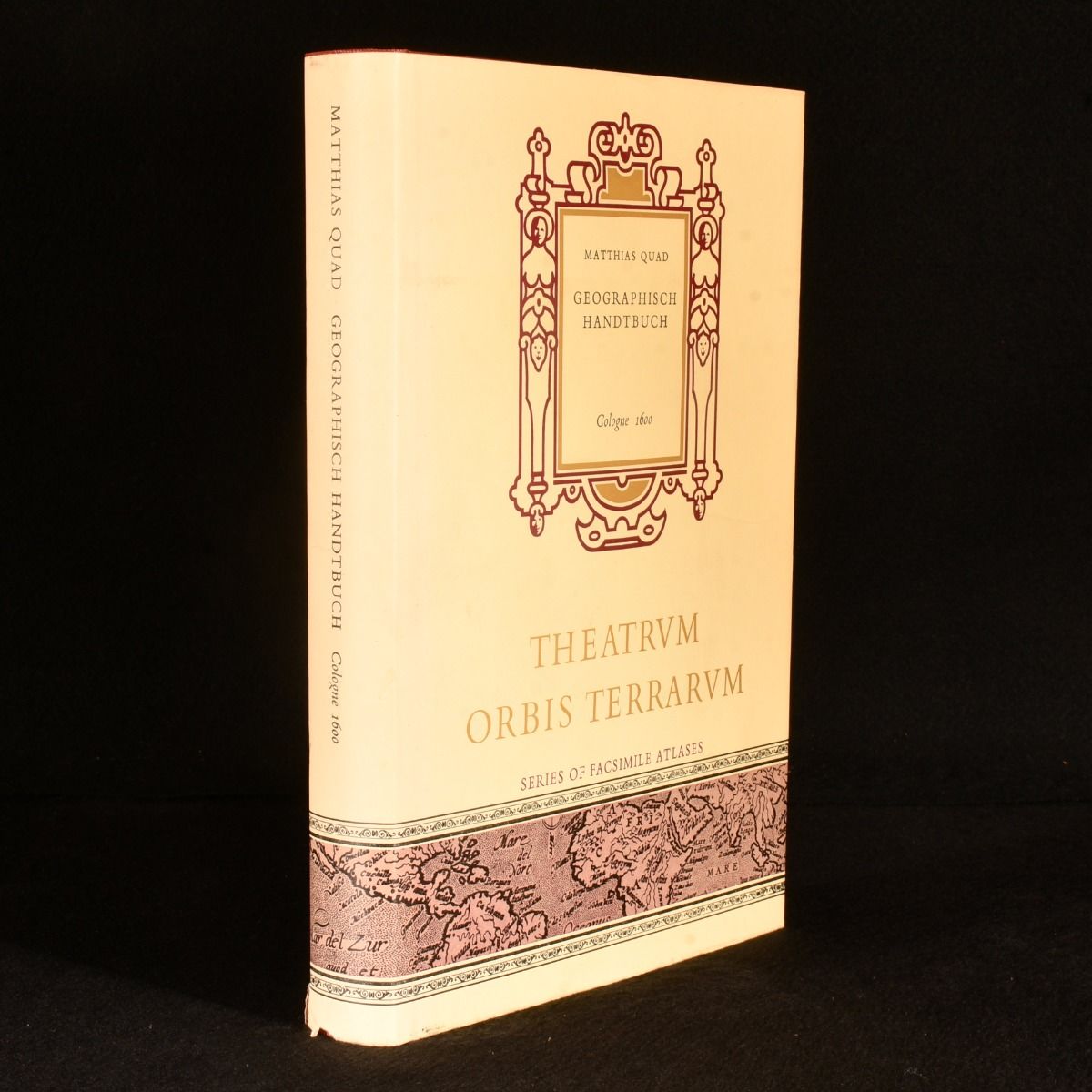
Geographisch Handtbuch: Cologne 1600
Matthias Quad; Wilhelm Bonacker · 1969
£120.00 (€143.83 | $158.42 | ¥25,260)
Netherlands, Theatrum Orbis Terrarum, 1969. Cloth. A very smart facsimile of the first world atlas produced by a German author, with the original dust wrapper. Main body of the text is written in German, with some English sections of the introduction. Facsimile of the first Ge...
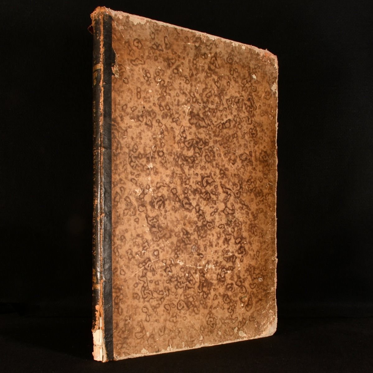
Atlas Historique, GeãâoeãâNeãâoeãâAlogique, Chronologique Et GeãâoeãâOgraphique
A. Lesage · 0
£380.00 (€455.45 | $501.65 | ¥79,989)
Paris, Delloye, c1835. Leather. Contemporary maps of European nations, and historical maps are accompanied by genealogical tables and precise descriptions in this coloured volume. Comprised of thirty five double sheets, often in colour, this French atlas offers contemporary an...
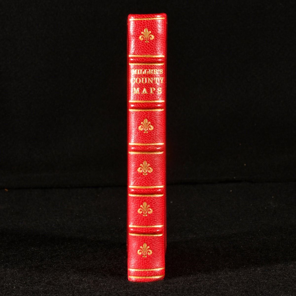
Miller&Apos;S New Miniature Atlas Containing a Complete Set of County Maps
R Miller · 1810
£3,950.00 (€4,734.26 | $5,214.53 | ¥831,467)
London, R Miller, 1810. First edition. Fine Binding. A finely bound copy of this scarce miniature atlas produced by R. Miller. Notable for its inclusion of a map for every county. The first edition of this work. Undated, dated from Chubb CCCXL. With all 56 engraved maps. Thi...
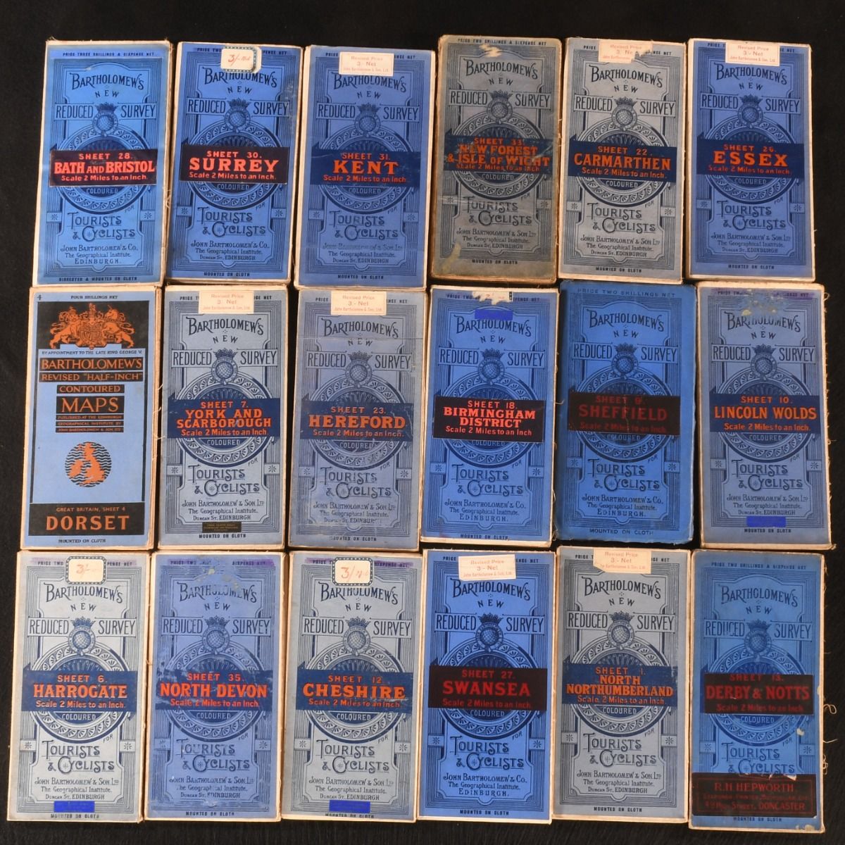
Bartholomew&Apos;S New Reduced Survey Coloured Maps; Dorset Contoured Map
Unknown · 1937
£650.00 (€779.06 | $858.09 | ¥136,824)
Edinburgh, John Bartholomew & Co. c1920-1937. Cloth. The complete thirty-eight volume series of reduced survey colour maps by Carthographer John Bartholomew, along with a charming contoured map of Dorset. All thirty-seven volumes of Barthlomew's New Reduced Survey coloure...
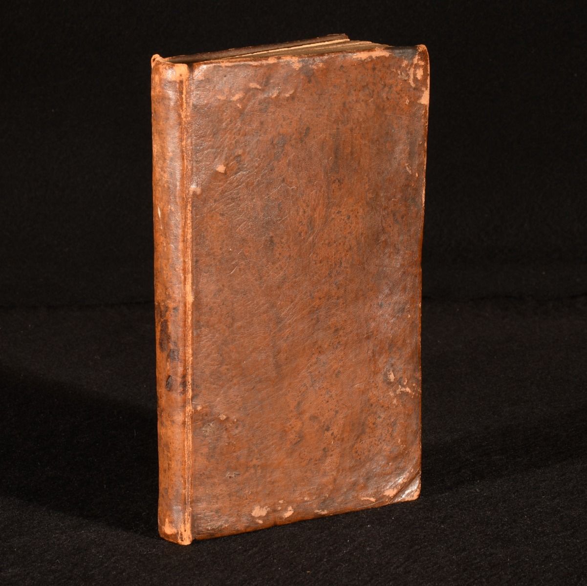
A New and Easy Guide to the Use of Globes and the Rudiments of Geography
Daniel Fenning · 1804
£225.00 (€269.67 | $297.03 | ¥47,362)
London, J. Johnson, G. and J. Robinson; et al. 1804. Leather. Daniel Fenning's eighteenth century geographical work, being an instructive guide to using globes with folding maps, in a full calf binding. The eighth edition, corrected and greatly improved by the editor. Il...
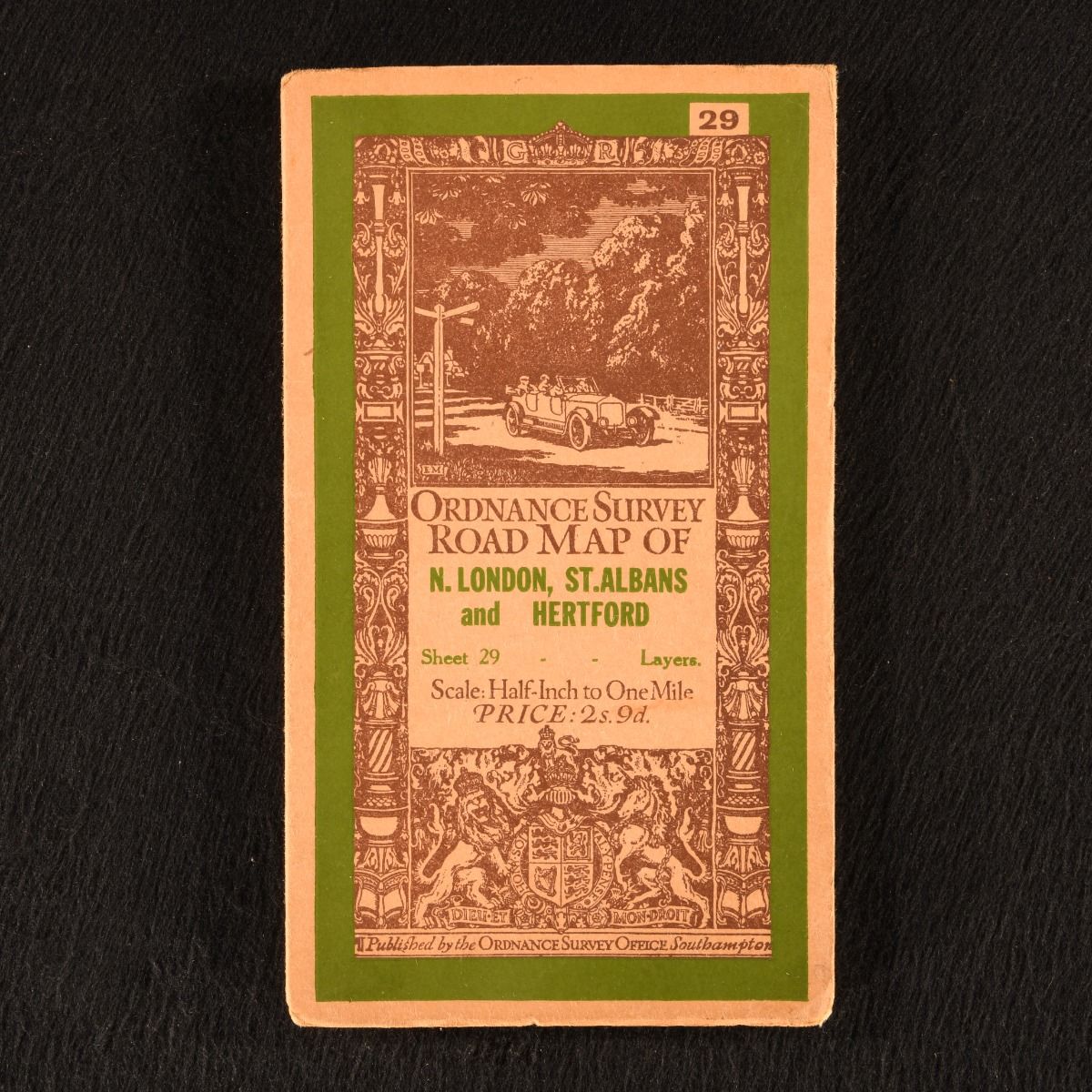
Ordnance Survey: Road Map of N. London, St. Albans and Hertford (Sheet 29)
None · 1926
£45.00 (€53.93 | $59.41 | ¥9,472)
Southampton , Ordnance Survey Office , 1926. Unbound. A very smart folding road map from the Ordnance Survey, covering north London, St. Albans and Hertford. A charming and particularly scarce folding map from the Ordnance Survey. This is sheet number 29 of this series of roa...
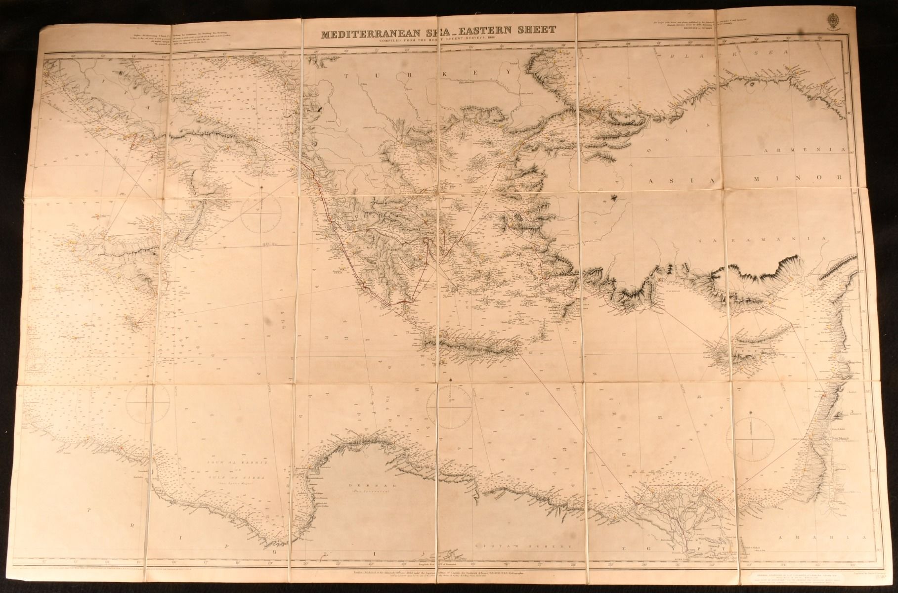
Mediterranean Sea Eastern Sheet Ordnance Map
None · 1883
£450.00 (€539.35 | $594.06 | ¥94,724)
London, Edward Stanford, 1883. Paperback. A very scarce Victorian folding ordnance map from widely popular map and travel book seller, Edward Stanford. A very scarce ordnance map from Edward Stanford, now known as Stanfords. With the publisher's original card covers, con...

Murray&Apos;S Small Classical Atlas
G. B. Grundy [editor] · 1932
£35.00 (€41.95 | $46.20 | ¥7,367)
London, John Murray, 1932. Cloth. A smart later edition of Murray's Small Classical Atlas, with colour maps. Later edition first published 1904. With fourteen double-paged colour maps. Collated complete. A smaller atlas, intended to be inexpensive for educational purposes...
Geographical Annual, or a Family Cabinet Atlas
Edward Starling · 1832
£395.00 (€473.43 | $521.45 | ¥83,147)
London, Mr Bull, [1832]. Cloth. This very scarce Family Cabinet Atlas contains thirty four hand coloured maps. A very scarce atlas comprised of hand-coloured maps engraved by nineteenth century engraver Thomas Starling. The atlas lacks the title page and the first fifteen maps...

Petersburg-Leningrad Historical and Geographical Atlas Part One
Leningrad Geographical and Economic Research Institute · 1957
£395.00 (€473.43 | $521.45 | ¥83,147)
Leningrad, Publishing House of Leningrad University , 1957. First edition. Cloth. A scarce Russian atlas of Petersburg-Leningrad, with colour folding maps. A Russian first edition copy of Petersburg-Leningrad Historical and Geographical Atlas Part One which is all that was pub...
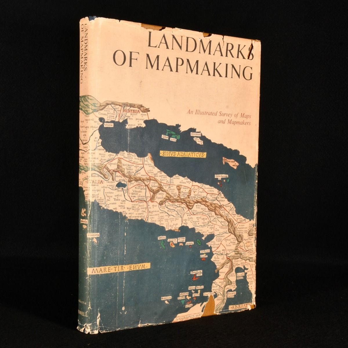
Landmarks of Map Making an Illustrated Survey of Maps and Mapmakers
R. V. Tooley; Charles Bricker · 1976
£49.00 (€58.73 | $64.69 | ¥10,314)
New York , Thomas Y. Crowell Company, 1976. First edition. Cloth. A stunning volume on the history of maps and mapmaking with numerous illustrations and folding maps throughout. A first US edition of this work on maps and mapmaking, the maps were chosen and displayed by R. V. ...
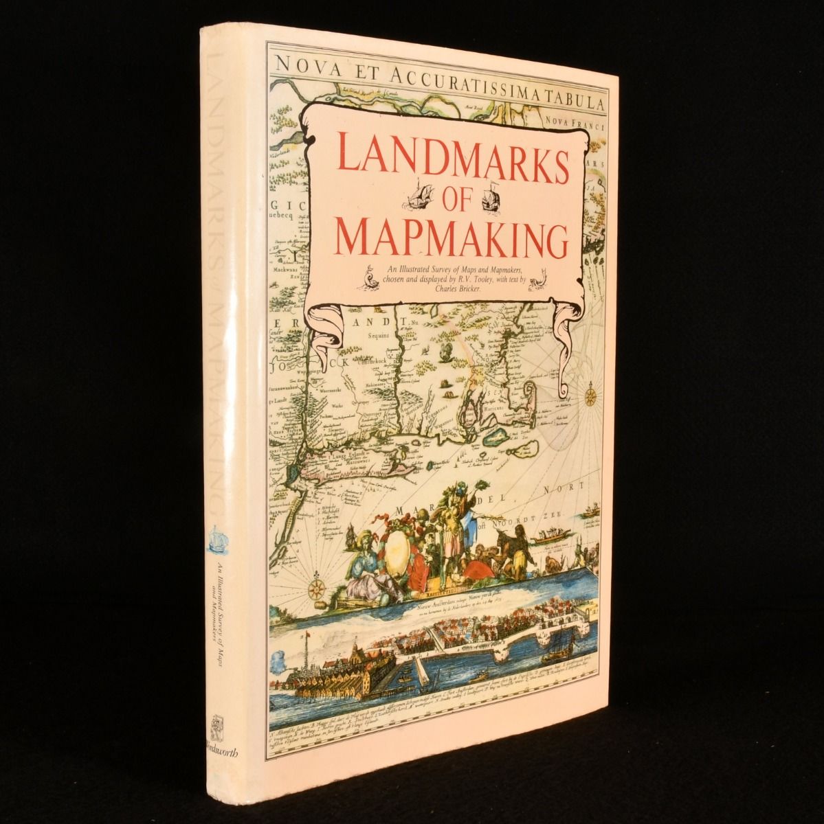
Landmarks of Mapmaking
R.V. Tooley; Charles Bricker; Gerald Roe Crone · 1989
£59.00 (€70.71 | $77.89 | ¥12,419)
London, Wordsworth, 1989. Cloth. A flawless copy of this colourfully illustrated work on the history of mapmaking and cartography, stretching over 2,000 years. A fascinating and comprehensive history of mapmaking and cartography, stretching over 2,000 years. Including chapters...

The University Atlas
George Goodall; H. C. Darby [ed.] · 1948
£30.00 (€35.96 | $39.60 | ¥6,315)
London, George Philip and Son , 1948. Cloth. Sixth edition of this complete atlas by Goodall and Darby. A university atlas edited by George Goodall and H. C. Darby, consisting of a study in compromise evolving many practical and academic issues. Featuring general maps illustra...

From Sea Unto Sea Art & Discovery Maps of Canada
Joe C. W. Armstrong · 1982
£55.00 (€65.92 | $72.61 | ¥11,577)
Ontario, Fleet, 1982. First edition. Leather. The first edition of this beautiful collection of historical maps of Canada, illustrated in both colour and monochrome throughout with descriptive maps. The first edition of this work.A beautiful work exploring the discovery of Can...

Atlas Minimus or a New Set of Pocket Maps Maps
J Gibson · 1758
£12,500.00 (€14,981.83 | $16,501.68 | ¥2,631,224)
London, J Newbery , 1758. First edition. Disbound. A very scarce, first edition, first impression of this cartography work by John Gibson. Comprising of fifty two maps total. The very scarce first edition, first impression. With the errata to the index stating the error to the...

New School Atlas of Modern Geography; Containing Maps of All the Principal States and Kingdoms of the World
J. C. Russell · 1824
£395.00 (€473.43 | $521.45 | ¥83,147)
London, Baldwin, Cradock, and Joy, 1824. Leather. A very smartly bound copy of this scarce school atlas with folding maps. Very scarce work. Illustrated with twenty-five double-page maps with colour highlights, one of which is folding. Collated complete, extra-illustrated with...