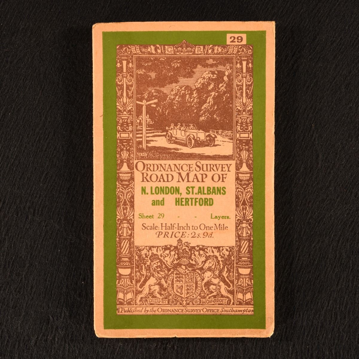
None — Ordnance Survey: Road Map of N. London, St. Albans and Hertford (Sheet 29)
Southampton , Ordnance Survey Office , 1926. Unbound. A very smart folding road map from the Ordnance Survey, covering north London, St. Albans and Hertford. A charming and particularly scarce folding map from the Ordnance Survey. This is sheet number 29 of this series of road maps scaled 1/2inch to 1 mile. With the publisher's original front and rear covers. The initial driver behind this series of maps was a military one, but it was recognised that the scale had a steadily growing public value particularly for cyclists and motorists. A folding map with the original front and rear covers. Externally, very smart, with slight edge wear and age toning. Map itself is bright and clean. Very Good Indeed . Ill.: Not Stated. Very Good Indeed .