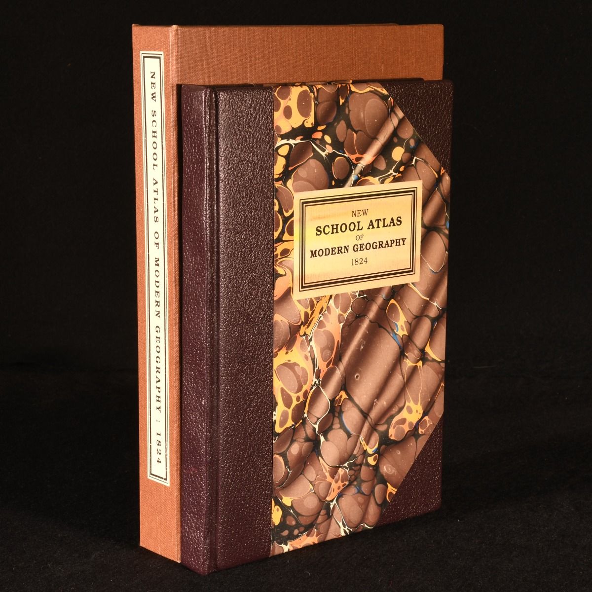
J. C. Russell — New School Atlas of Modern Geography; Containing Maps of All the Principal States and Kingdoms of the World
London, Baldwin, Cradock, and Joy, 1824. Leather. A very smartly bound copy of this scarce school atlas with folding maps. Very scarce work. Illustrated with twenty-five double-page maps with colour highlights, one of which is folding. Collated complete, extra-illustrated with a map of Poland to the rear from Walker's Geography &c. An atlas, intended for the use of schools, containing maps of all the principal states and kingdoms of the work as compiled from the latest and best authorities. Produced by John C. Russell, a British cartographer, prolific during the late eighteenth and early nineteenth centuries. Dated from the University of Oxford Libraries. Bound by Eric Sweet, a keen collector of private press and fables. He studied at the Brighton College of Art, before moving to London to work as a lettering artist and typographer for advertising agencies, later becoming the head of Birmingham School of Printing. Sweet's bindings are unique and striking, reflecting the topics of the volumes in distinctive style. Bound in half crushed morocco with marbled boards and endpapers. Externally, excellent. With a cloth covered clamshell, also in excellent condition. Internally, firmly bound. Pages are very bright with the odd small spot. Fine . Ill.: Not Stated. Fine .