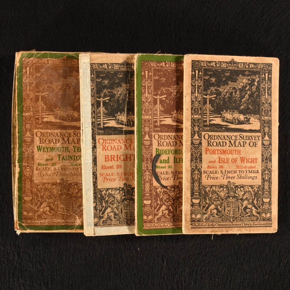
None — Ordnance Survey Road Map of: Weymouth, Yeovil and Taunton; Bideford, Tiverton and Ilfracombe; Brighton; Portsmouth and Isle of Wight
Southampton, Ordnance Survey Office , 1914-1915. Unbound. A fantastic set of four very scarce folding road maps from the Ordnance Survey Office. A selection of four sheets from this series of ordnance surveys. Scaled 1/2 inch to 1 mile. Containing the following sheets of road maps:Bideford, Tiverton and Ilfracombe (Sheet 31), Weymouth, Yeovil and Taunton (Sheet 37), Portsmouth and Isle of Wight (Sheet 38) and Brighton (Sheet 39).The initial driver behind this series was a military one, but it was recognised that the scale had a steadily growing public value particularly for cyclists and motorists. With the original front and rear covers, with 'Weymouth' front cover detached but present. Four folding maps. With the publisher's original front and rear covers. Front cover to 'Weymouth' is detached but present. Ink mark to the front cover of 'Bideford&apos. With tape reinforcements made to 'Weymouth' and 'Brighton&apos. A few instances of splitting to 'Weymouth' creases and scattered spotting to all maps. With general edge wear to all and ink marks to the borders of 'Brighton&apos. Good Only . Ill.: Not Stated. Good Only .