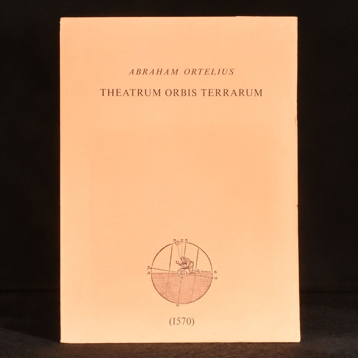
None — Theatrum Orbis Terrarum (Five Folding Maps)
Not Stated , Not Stated , c1970. Unbound. A terrific collection of five folding coloured reproductions of maps from 'Theatrum Orbis Terrarum' by Abraham Ortelius, considered the first modern atlas. A lovely set of five folding coloured maps, being reproductions of the famous Theatrum Orbis Terrarum, a collection of map sheets considered to be the first true modern atlas. The five maps provide an accurate picture of the Netherlands and the surrounding areas in the sixteenth century. The posters are held in a peach folder, with a compass illustration and 1570 date to the front cover. Created by Abraham Ortelius, a cartographer, geographer and cosmographer from Antwerp. The publication of this atlas in 1570 is often considered as the official beginning of the Golden Age of Netherlandish cartography. Five folding coloured maps held in the original folder. Externally, very smart, with minor edge wear and minor sunning to the wrap. Internally, unbound. Maps are bright and clean. Near Fine . Ill.: Abraham Ortelius. Near Fine .