
Rooke Books
Libri
45 libri di Rooke Books
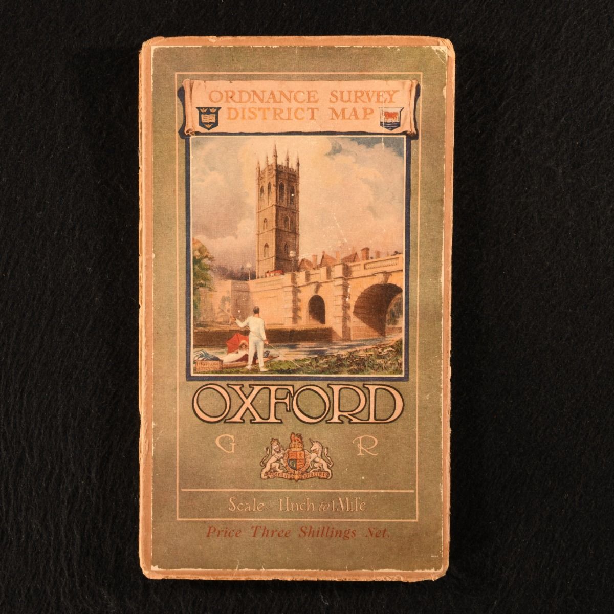
Oxford and District Ordnance Survey One-Inch Popular Edition (Special Sheet)
None · 1921
£30.00 (€36.02 | $39.54 | ¥6,299)
Southampton , Colonel Sir Charles Close; Ordnance Survey Office , 1921. Unbound. A scarce special sheet from the Ordnance Survey's "Popular" edition of folding district maps. A charming folding district map of Oxford, issued as part of the "Popular Edition" special sheet ...

Bacon&Apos;S Cycling & Motoring Map of Central England and Wales: All Main Roads Specifically Coloured
0
£30.00 (€36.02 | $39.54 | ¥6,299)
Worcester, G. W. Y. Lewis & Son, c1900. Paperback. A very scarce folding cycling and motoring map of central England and Wales. Pocket-sized folding map. Very scarce. A large folding map of central England and Wales, to aid with planning cycling and motoring routes. With all m...
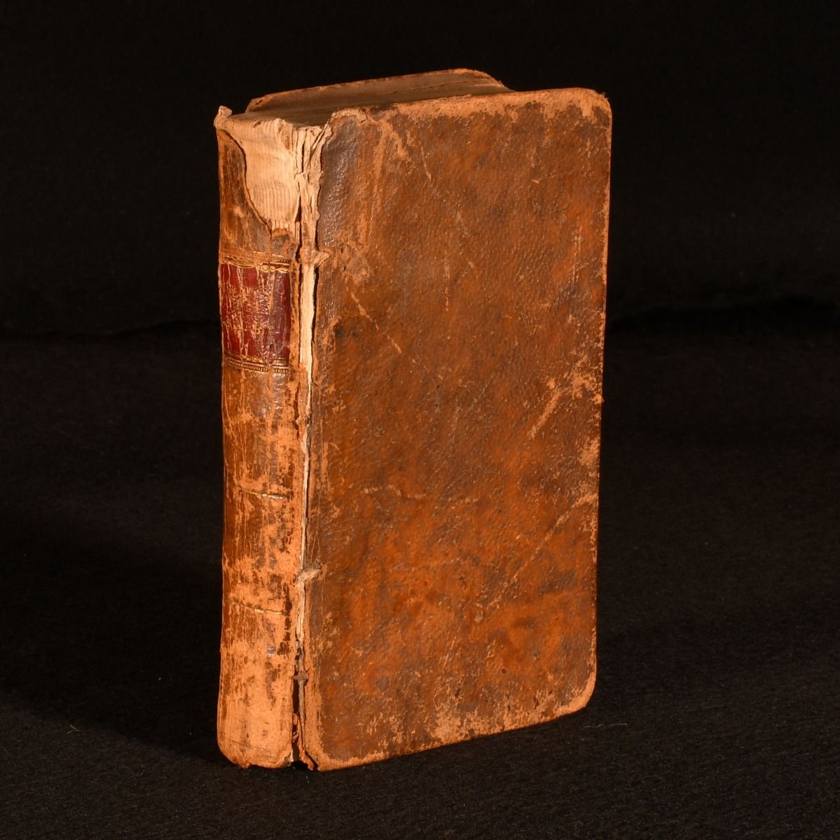
Guthrie&Apos;S Geographical Grammar, in Miniature
William Guthrie; James Ferguson · 1807
£280.00 (€336.19 | $369.05 | ¥58,789)
Montrose , Printed by D. Buchanan for Wilson and Spence Booksellers , 1807. Leather. The first pocket-sized edition of this William Guthrie's 'Geographical Grammar', complete with thirteen folding maps. First pocket-sized edition. Very scarce. In full calf bind...
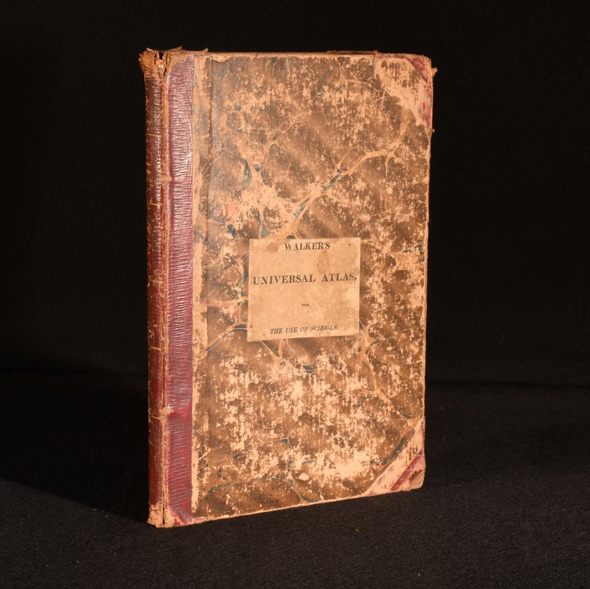
Walker&Apos;S Universal Atlas, for the Use of Schools
John Walker · 1823
£350.00 (€420.24 | $461.32 | ¥73,486)
London, C. & J. Rivington, 1823. Leather. John Walkers uncommon universal atlas intended for the use of schools, a fantastic collection of hand coloured maps, bound in half straight grain morocco. The Sydney Hall engraved edition. Originally published in 1808. With twenty-eig...

Reprint of the First Edition of the One-Inch Ordnance Survey of England and Wales; Devizes (Sheet 77)
Dr J. B. Harley · 1969
£30.00 (€36.02 | $39.54 | ¥6,299)
Devon , David and Charles (Publishers) Limited , 1969. Unbound. Sheet 77 of the David & Charles 'Old Series' of one-inch ordnance surveys of England and Wales. A pleasing folding facsimile ordnance survey. Accompanied by the publisher's paper slipcase. This fo...
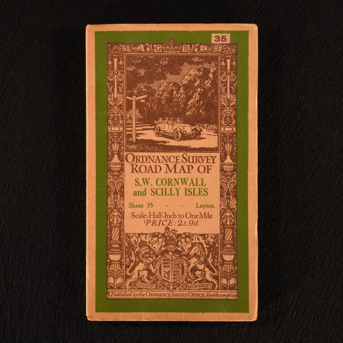
Ordnance Survey Road Map of S.W. Cornwall and Scilly Isles (Sheet 35)
None · 1913
£55.00 (€66.04 | $72.49 | ¥11,548)
Southampton , Ordnance Survey Office , 1913. Unbound. A very smart folding ordnance survey, being a road map of south-west Cornwall and Scilly Isles at the half-inch to one mile scale. A charming folding ordnance survey, displaying a 1/2 inch to 1 mile road map of south-west C...

Round the World: From London Bridge to Charing Cross, Via Yokohama and Chicago. An Album of Pictures from Photographs of the Chief Places of Interest in All Parts of the World.
1895
£45.00 (€54.03 | $59.31 | ¥9,448)
London, George Newnes, Limited, 1895. Cloth. A smart copy of this illustrated guide to points of interest from across the world, with historical commentary. Illustrated with over two hundred and fifty full-page black-and-white images from photographs. An album of pictures and ...
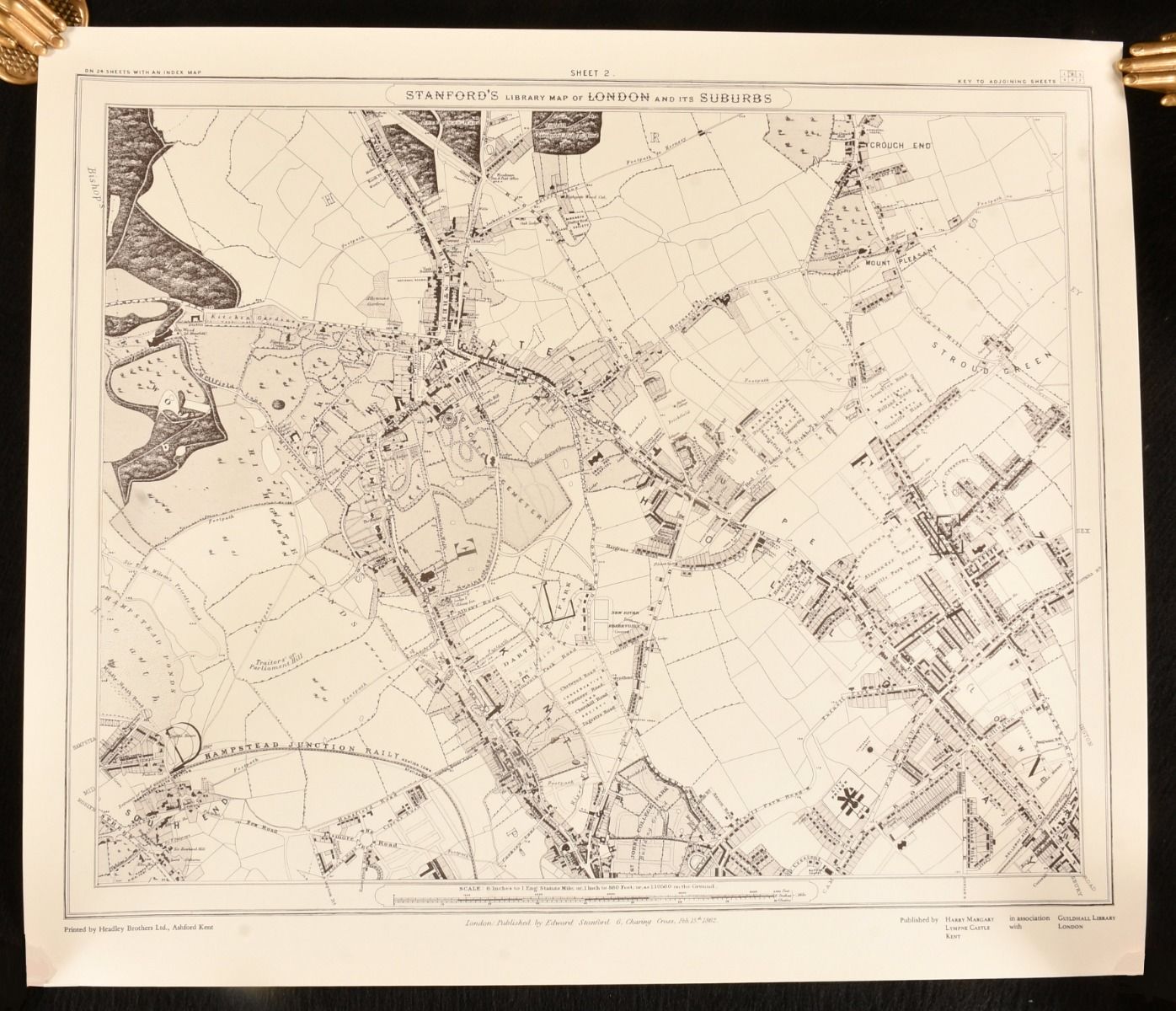
Stanford&Apos;S Library Map of London and It&Apos;S Suburbs, 24 Sheets, on the Scale of Six Inches to a Mile
Edward Stanford; Ralph Hyde · 1980
£75.00 (€90.05 | $98.85 | ¥15,747)
Kent , Harry Margary , 1980. Loose Pages, Articles. A wonderful new edition of Edward Stanford's renowned map of London, featuring introductory notes by Ralph Hyde. A scarce new edition. Unbound, loose and rolled. A smart facsimile of Edward Stanford's important and ...
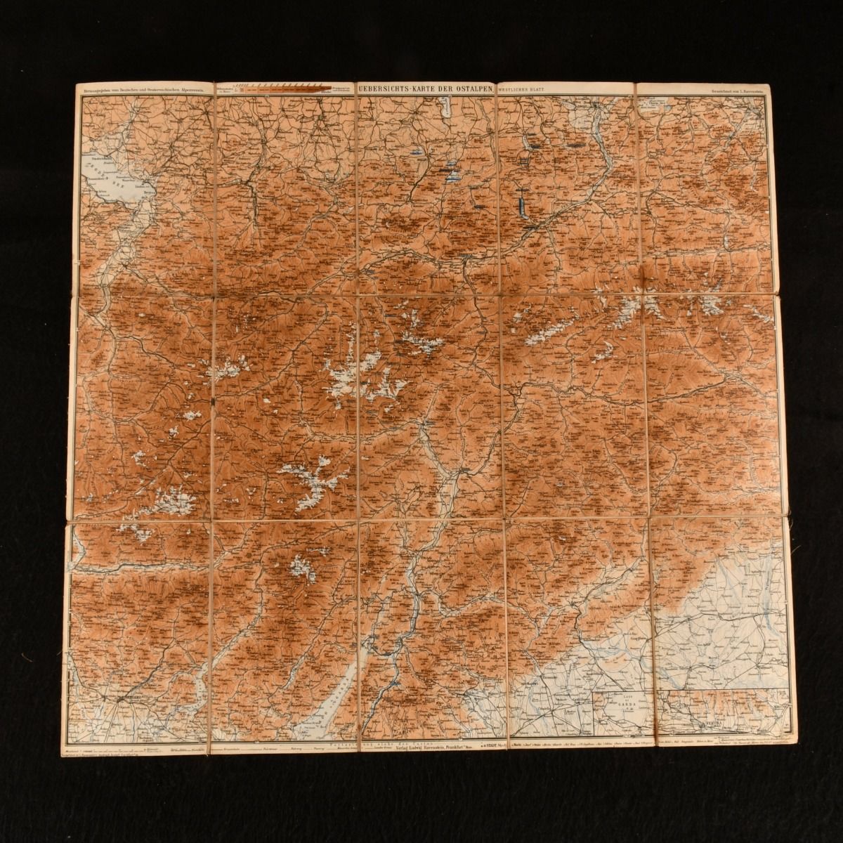
Uebersichts-Karte Der Ostalpen Westliches Blatt
L. Ravenstien · 1892
£30.00 (€36.02 | $39.54 | ¥6,299)
not stated , German and Austrian Alpine Club , 1892. Brochure/Pamphlet. A detailed large folding colour map of the Eastern Alps. A large folding map of the Eastern Alps. The map details the mountains and hills of the Alps and the towns of Bozen, Innsbruck, Acro and the top of...

Philips&Apos; Handy Volume Atlas of London
1921
£250.00 (€300.17 | $329.51 | ¥52,490)
London , George Philip & Son, 1921. Cloth. A detailed pocket-sized atlas of the city of London on a scale of three inches to the mile. The Handy Volume Atlas of London contains a series of fifty-five sectional maps on a scale of three inches to the mile of the county of London...

Bartholomew&Apos;S Touring Atlas and Gazetteer of the British Isles
John Bartholomew · 1998
£30.00 (€36.02 | $39.54 | ¥6,299)
Edinburgh, John Bartholomew & Son, 1998. Cloth. A modern reprint of Bartholomew's atlas and gazetteer of Britain, complete with its scarce dust wrapper. John Bartholomew's Atlas and Gazetteer of the British Isles, recreated from the Practical Motorist's Touring...

An Atlas for School, Containing Ancient and Modern Maps, Drawn from the Best Authorities ; Prefaced by Twenty-Four Problems on Maps, and by a Copious Table of Latitudes and Longitudes
Rev J Goldsmith · 1813
£325.00 (€390.22 | $428.36 | ¥68,237)
London, Richard Phillips, 1813. Leather. A very scarce works of cartography profusely illustrated with folding maps. A very scarce work. By the author of several geographical and educational works, the Rev. J. Goldsmith. This volume includes a chapter defining map related term...

Walker&Apos;S County Maps: Worcestershire
J. and C. Walker · 1881
£150.00 (€180.10 | $197.71 | ¥31,494)
London , Longman and Co, c1841-1881. Cloth. London : Longman and Co, c1841-1881. Cloth. Near Fine. 13.5" by 16.5" (map), 5" by 3.5" (boards). None. A scarce fold out map of Worcestershire, which is hand coloured. The map is sectioned into fifteen parts and is mounted on linen....
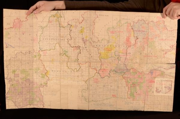
Ecclesiastical Map of the South of England
Anonymous · 0
£49.99 (€60.02 | $65.89 | ¥10,496)
Kent , Publisher Unknown, c1920. Cloth. A hand assembled map of the counties of the south of England showing Church of England administrative areas. With ink annotations from a previous owner, and some hand-colouring to the counties. Covering Wiltshire, Dorset, Oxfordshire, Be...

Topographischer Atlas de Schweiz 1: 50000 Sustenpass
1922
£35.00 (€42.02 | $46.13 | ¥7,349)
Switzerland, Landestopographie, 1922. Brochure/Pamphlet. A detailed, large colour folding map of Switzerland. A large folding atlas of Switzerland, with the text in German. The scale is 1:50000 and shows the details of Switzerland. One large sheet with twenty four folding segm...
1931 Philips&Apos; International Atlas
George Philip · 1931
£95.00 (€114.07 | $125.21 | ¥19,946)
London, George Philip & Son, Ltd, 1931. Cloth. A scarce fully illustrated international atlas from George Philip and Son. Scarce work. With illustrated 160 coloured plates of maps, plans and flags. A series of maps and plans forming a complete geographical survey of the intern...

England the Photographic Atlas
Tristram Cary · 2001
£120.00 (€144.08 | $158.17 | ¥25,195)
London, HarperCollins, 2001. Cloth. A very scarce extensive work showing birds eye views of the entirety of England, with colour illustrations throughout. A very scarce work. In the original unclipped dustwrapper. A fascinating work, a complete birds eye view of England, showi...

New General Atlas, Consisting of Twenty-Nine Maps. Beautifully Engraved on Steel: Embracing All the Latest Discoveries and Exhibiting the Population of the Towns, Lengths of Rivers, and Heights of Mountains. Prepared for the Scottish School Book Association. Adapted to Their Geographical Series, Vis. &Apos;the Young Child&Apos;S Geography&Apos;, &Apos;Outlines of Geography&Apos;, and the Complete System of Geography&Apos;.
1850
£285.00 (€342.20 | $375.64 | ¥59,838)
Edinburgh, William Whyte, 1850. Leather. A very scarce coloured atlas, with important statistical information, comprising of twenty-nine maps. A very scarce work. A complete atlas, illustrated with twenty-nine coloured maps. The work shows the entire world, as well as giving i...
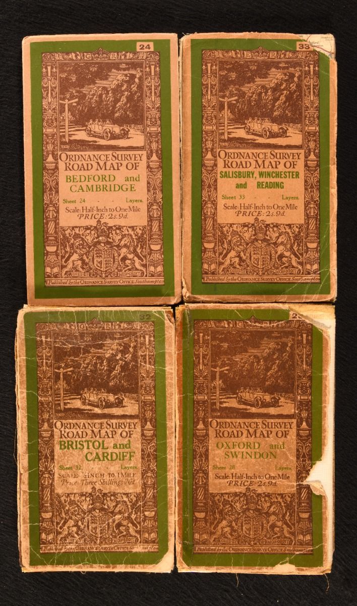
Bedford and Cambridge (Sheet 24); Oxford and Swindon (Sheet 28); Bristol and Cardiff (Sheet 32); Salisbury, Winchester and Reading (Sheet 33). ãâ
None · 1926
£40.00 (€48.03 | $52.72 | ¥8,398)
Southampton, Ordnance Survey Office , 1926-1932. Unbound. A collection of four large folding road maps from the Ordnance Survey, scaled half-inch to one mile. A selection of four folding maps from this series of ordnance surveys, with revisions. Scaled 1/2 inch to 1 mile. Co...
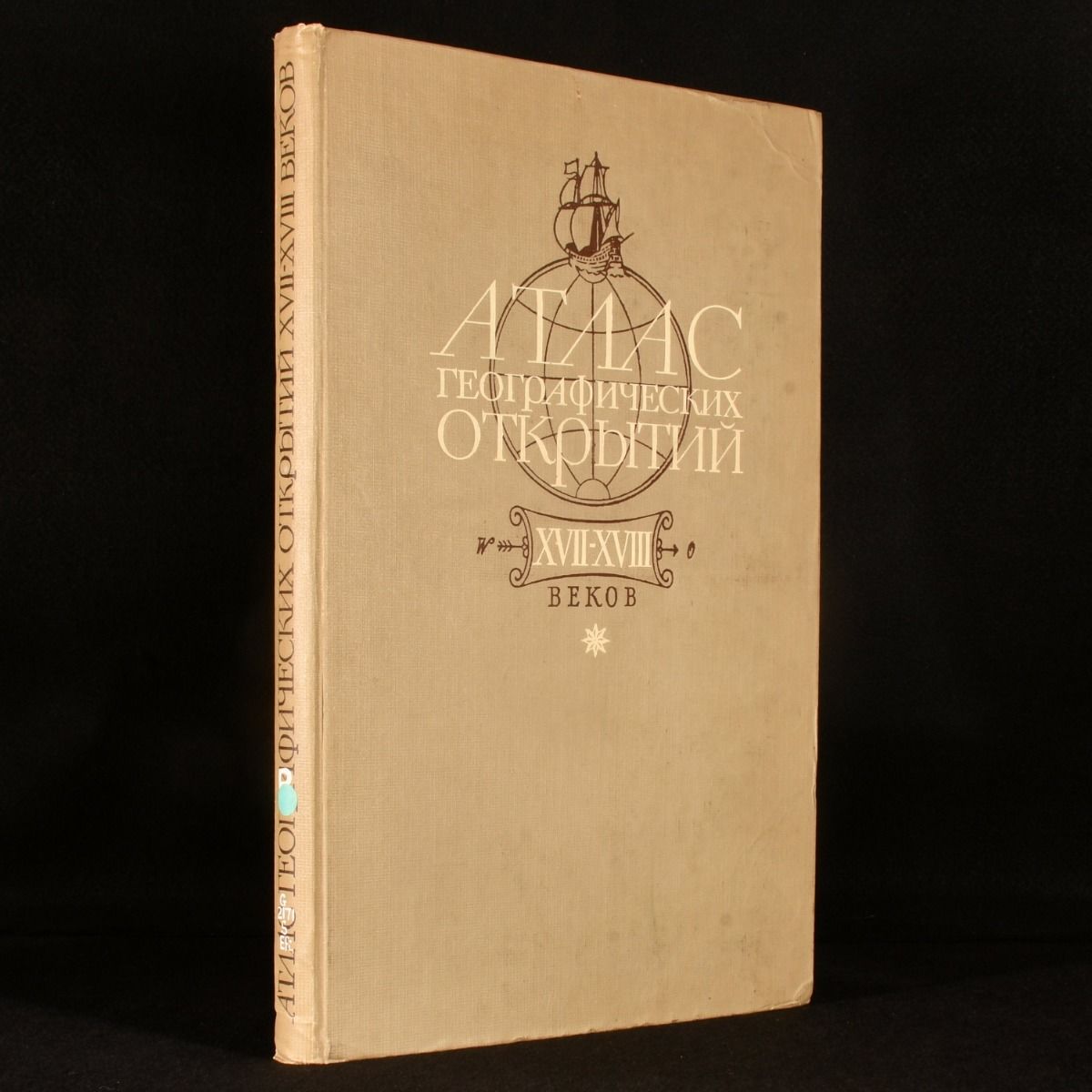
Atlas of Geographical Discoveries in Siberia and North Western America XVII-XVIII Centuries
A. V. Yefimov · 1964
£150.00 (€180.10 | $197.71 | ¥31,494)
Moscow, Nauka, 1964. First edition. Cloth. Using seventeenth and eighteenth century maps, Yefimov traces the history of exploration in this uncommon volume. Published in Russian. A first edition of this interesting atlas published in Russian. With many plates and maps, includi...