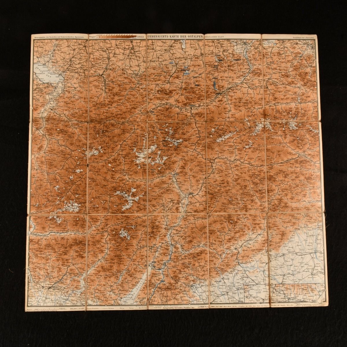
L. Ravenstien — Uebersichts-Karte Der Ostalpen Westliches Blatt
not stated , German and Austrian Alpine Club , 1892. Brochure/Pamphlet. A detailed large folding colour map of the Eastern Alps. A large folding map of the Eastern Alps. The map details the mountains and hills of the Alps and the towns of Bozen, Innsbruck, Acro and the top of Lake Garda. To a scale of 1:500,000 with the text in German. On large linen back folding sheet. Sheet is generally bright and clean with some light age toning to the extremities. Good . Ill.: Not Stated. Good .
Machine translation by Google. The original description of the seller is leading.
Log in or create an account to translate descriptions. Accedi
Numero libro:
834B41
£30.00 (€36.02 | $39.54 | ¥6,299)