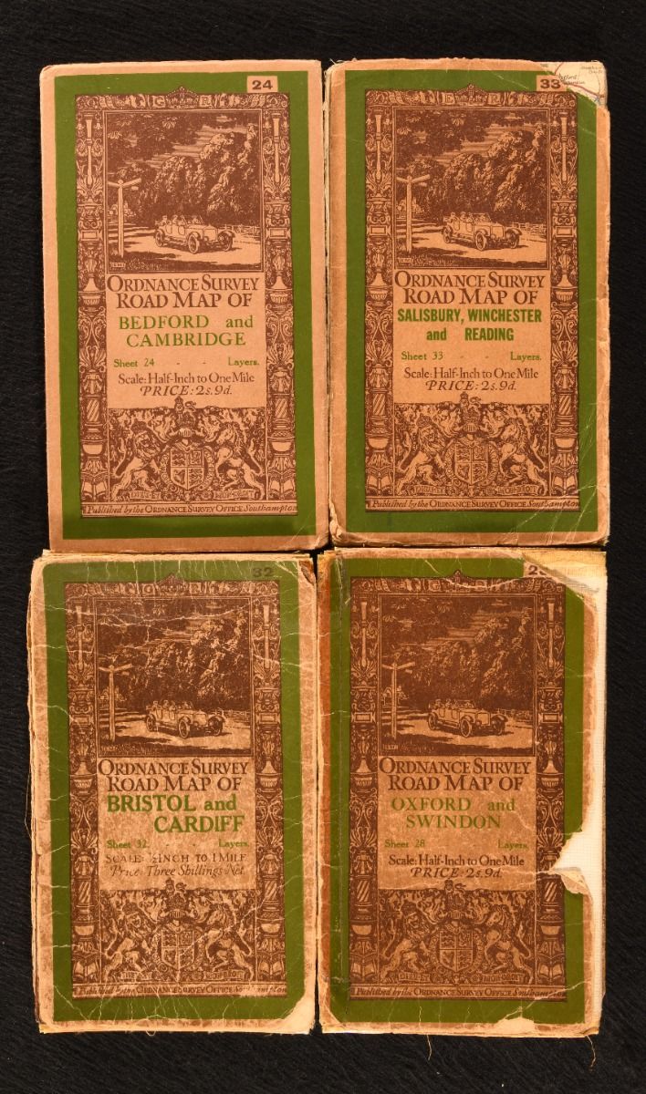
None — Bedford and Cambridge (Sheet 24); Oxford and Swindon (Sheet 28); Bristol and Cardiff (Sheet 32); Salisbury, Winchester and Reading (Sheet 33). ãâ
Southampton, Ordnance Survey Office , 1926-1932. Unbound. A collection of four large folding road maps from the Ordnance Survey, scaled half-inch to one mile. A selection of four folding maps from this series of ordnance surveys, with revisions. Scaled 1/2 inch to 1 mile. Containing the following sheets of road maps:Bedford and Cambridge (Sheet 24), Oxford and Swindon (Sheet 28), Bristol and Cardiff (Sheet 32) and Salisbury, Winchester and Reading (Sheet 33). With the original front and rear covers. The initial driver behind this series of maps was a military one, but it was recognised that the scale had a steadily growing public value particularly for cyclists and motorists. Four folding maps. With the front and rear cover to 'Salisbury' detached but present. Rear cover missing to 'Oxford&apos. Chipping to the front cover of 'Oxford' and a chip to the corner of 'Salisbury' front cover. Age toning to the covers and general edge wear across all. With tape reinforcements made to 'Bristol' and 'Oxford', and significant splits to the 'Oxford' map. Maps are generally bright and clean. With heaviest scattered spotting to 'Bristol' and 'Salisbury&apos. Good Only . Ill.: Not Stated. Good Only .