John Bartholomew — Bartholomew&Apos;S Touring Atlas and Gazetteer of the British Isles
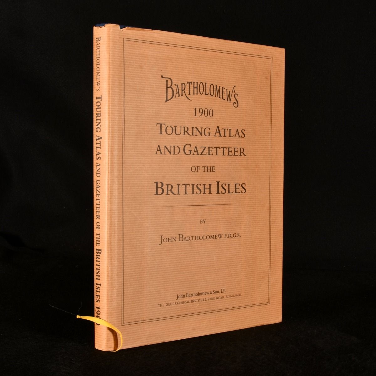
Edinburgh, John Bartholomew & Son, 1998. Cloth. A modern reprint of Bartholomew's atlas and gazetteer of Britain, complete with its scarce dust wrapper. John Bartholomew's Atlas and Gazetteer of the British Isles, recreated from the Practical Motorist's Touring Maps and Gazetteer. Featuring maps produced between 1897 and 1903 from reduced Ordnance Surveys, here featured with additions and corrections. An accurate representation of Bartholomew's atlas, showing detailed roads, railways, canals, and settlement as they existed at the time.Containing a series of ninety-six maps in colour. Complete with unclipped, scarce dust wrapper. In the original publisher's full cloth binding. Externally lovely. Dust wrapper unclipped and excellent with minor shelf wear only, minor chipping to head of spine. Internally, firmly bound. Pages bright and clean. With ninety-six coloured maps. Fine . Ill.: Not Stated. Fine/Very Good Indeed.