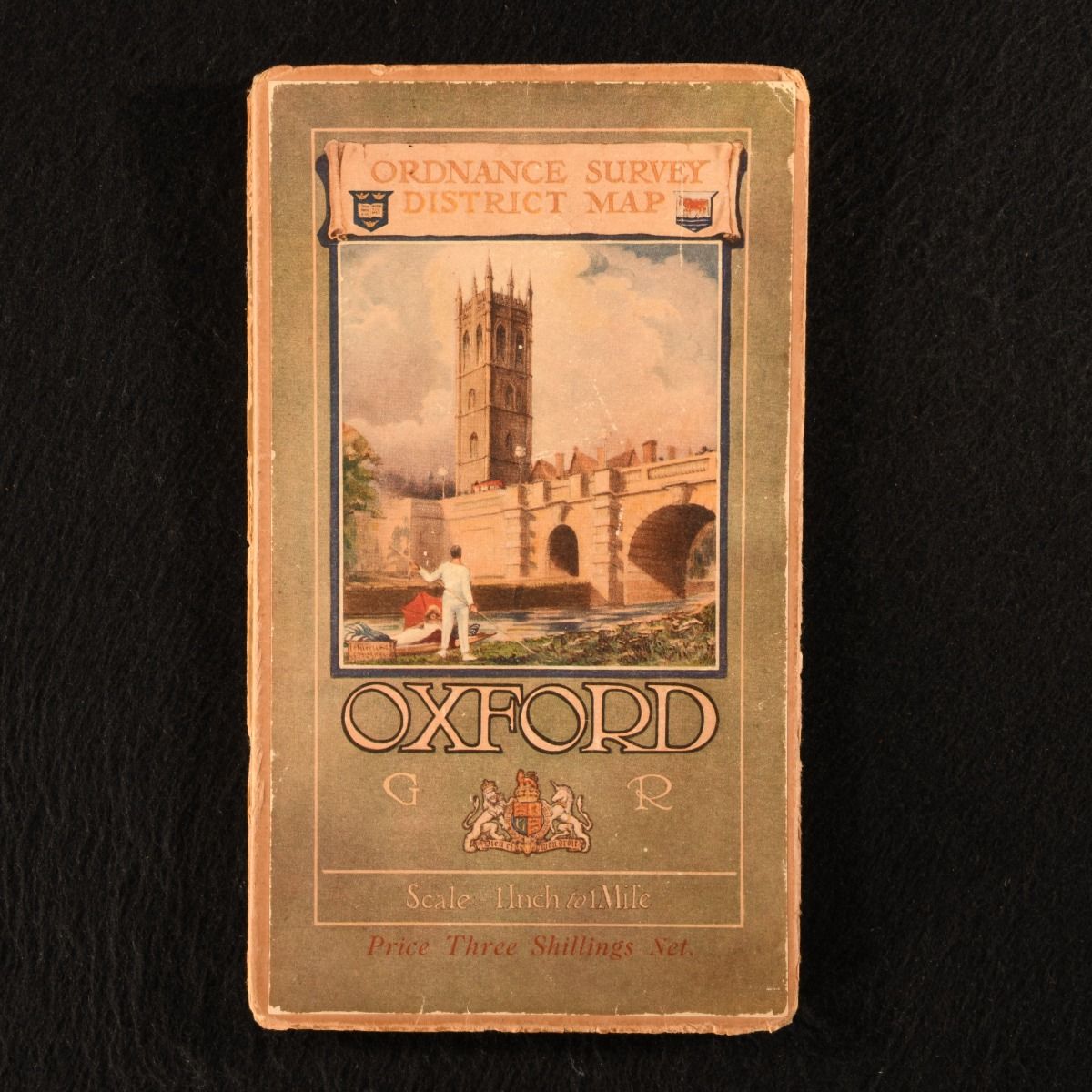
None — Oxford and District Ordnance Survey One-Inch Popular Edition (Special Sheet)
Southampton , Colonel Sir Charles Close; Ordnance Survey Office , 1921. Unbound. A scarce special sheet from the Ordnance Survey's "Popular" edition of folding district maps. A charming folding district map of Oxford, issued as part of the "Popular Edition" special sheet series from the Ordnance Survey. Scaled one inch to one mile. The "Popular" edition name reflected Ordnance Survey's desire to produce an attractive contoured road map in seven colours that would be popular with the general public. This map was surveyed 1872-85, published 1887-92, revised in 1893 and in 1902-3, (3rd revision) 1913-14.With the original illustrative front cover. A large folding map, with the original illustrative front cover. Externally, smart, with edge wear and age toning. With slight rubbing to the front cover illustration. Map itself is generally bright and clean, with the odd spot. Very Good . Ill.: Not Stated. Very Good .