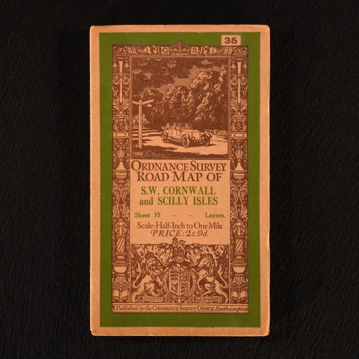
None — Ordnance Survey Road Map of S.W. Cornwall and Scilly Isles (Sheet 35)
Southampton , Ordnance Survey Office , 1913. Unbound. A very smart folding ordnance survey, being a road map of south-west Cornwall and Scilly Isles at the half-inch to one mile scale. A charming folding ordnance survey, displaying a 1/2 inch to 1 mile road map of south-west Cornwall and Scilly Isles.Sheet number 35 from this half-inch series. With the original front and rear covers. The initial driver behind this series of maps was a military one, but it was recognised that the scale had a steadily growing public value particularly for cyclists and motorists. A folding map with the original front and rear covers. Externally, very smart, with light edge wear and age toning to the paper covers. Internally, map is firmly bound. Pages are generally bright and clean, with the odd spot. Very Good Indeed . Ill.: Not Statd. Very Good Indeed .