
Wittenborn Art Books
Libri
34045 libri di Wittenborn Art Books
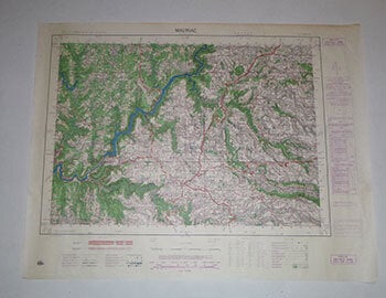
Carte de France. Mauriac. Type M. First Edition of the Map
Institut Géographique National, France · 1956
$100.00 (€91.16 | £76.44 | ¥15,855)
Paris: Institut Géographique National,1956. Map printed in colors. 55.5 x 72cm. Echelle 1/50 000. .
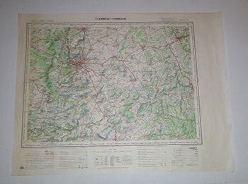
Carte de France. Clermont-Ferrand. Type 1922. First Edition of the Map
Institut Géographique National, France · 1971
$100.00 (€91.16 | £76.44 | ¥15,855)
Paris: Institut Géographique National,1971. Map printed in colors. 55.5 x 72cm. Echelle 1/100 000. .
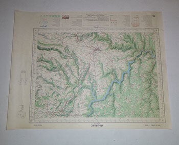
Carte de France. Maruiac. Type 1922. First Edition of the Map
Institut Géographique National, France · 1974
$100.00 (€91.16 | £76.44 | ¥15,855)
Paris: Institut Géographique National,1974. Map printed in colors. 55.5 x 72cm. Echelle 1/50 000. .
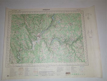
Carte de France. Argentat. Type 1922. First Edition of the Map
Institut Géographique National, France · 1977
$100.00 (€91.16 | £76.44 | ¥15,855)
Paris: Institut Géographique National,1977. Map printed in colors. 55.5 x 72cm. Echelle 1/50 000. .
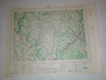
Carte de France. Tulle. Type 1922. First Edition of the Map
Institut Géographique National, France · 1976
$100.00 (€91.16 | £76.44 | ¥15,855)
Paris: Institut Géographique National,1976. Map printed in colors. 55.5 x 72cm. Echelle 1/50 000. .
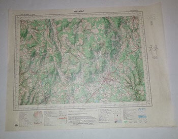
Carte de France. Meymac. Type 1922. First Edition of the Map
Institut Géographique National, France · 1976
$100.00 (€91.16 | £76.44 | ¥15,855)
Paris: Institut Géographique National,1976. Map printed in colors. 55.5 x 72cm. Echelle 1/50 000. .
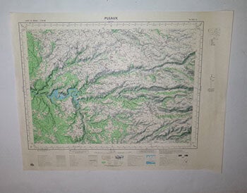
Carte de France. Pleaux. Type 1922. First Edition of the Map
Institut Géographique National, France · 1971
$100.00 (€91.16 | £76.44 | ¥15,855)
Paris: Institut Géographique National,1971. Map printed in colors. 55.5 x 72cm. Echelle 1/50 000. .
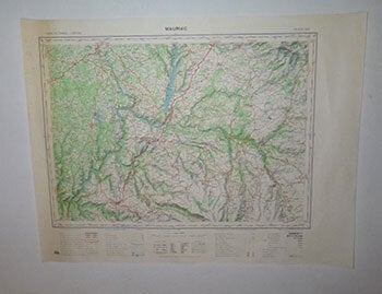
Carte de France. Mauriac. Type 1922. First Edition of the Map
Institut Géographique National, France · 1962
$100.00 (€91.16 | £76.44 | ¥15,855)
Paris: Institut Géographique National,1962. Map printed in colors. 55.5 x 72cm. Echelle 1/50 000. .
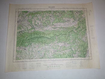
Carte de France. Reillanne. Type 1922. First Edition of the Map
Institut Géographique National, France · 1935
$100.00 (€91.16 | £76.44 | ¥15,855)
Paris: Institut Géographique National,1935-1936. Map printed in colors. 55.5 x 72cm. Echelle 1/50 000. .

La Roche-Canillac. Carte de France. 1/50 000. Type 1922. First Edition of the Map
Institut Géographique National, France · 1966
$100.00 (€91.16 | £76.44 | ¥15,855)
Paris: Institut Géographique National,1966-1967. Map printed in colors. 55.5 x 72cm. Echelle 1/50 000. .
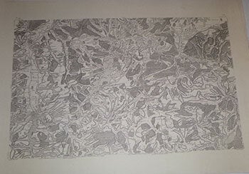
Carte de France Levée Par Ordre Du Roy. No. 141 (Metz. 1772) ) . Modern Printing
Cassini, de Thury, Cesar-Francois, (1714-1784) · 1772
$250.00 (€227.90 | £191.09 | ¥39,638)
Paris: circa 1772. Engraving on thick Arches paper. 73 x 104cm. sheet size....Echelle de dix Mille Toises ; vingt mille mètres ; 20 000 T à la M. References: Konvitz, J. Cartography in France 1660-1848, p. 21-31; Pelletier, M. Les cartes des Cassini; Rumsey, 5694.063 ...The ba...
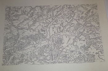
Carte de France Levée Par Ordre Du Roy. No. 43 (Laon - Noyon). 1757 (Corr. 1758) . Modern Printing
Cassini, de Thury, Cesar-Francois, (1714-1784) · 1758
$250.00 (€227.90 | £191.09 | ¥39,638)
Paris: circa 1758. Engraving on thick Arches paper. 73 x 104cm. sheet size....Echelle de dix Mille Toises ; vingt mille mètres ; 20 000 T à la M. References: Konvitz, J. Cartography in France 1660-1848, p. 21-31; Pelletier, M. Les cartes des Cassini; Rumsey, 5694.063 ...The ba...
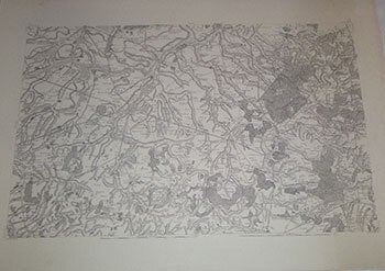
Carte de France Levée Par Ordre Du Roy. No. 42 - Cambrai, 1759) . Modern Printing
Cassini, de Thury, Cesar-Francois, (1714-1784); J. Seguin, Ingr. Geogr. du Roy, sculpsit 1758 (corr. 1759) · 1759
$250.00 (€227.90 | £191.09 | ¥39,638)
Paris: circa 1759. Engraving on thick Arches paper. 73 x 104cm. sheet size....Echelle de dix Mille Toises ; vingt mille mètres ; 20 000 T à la M. References: Konvitz, J. Cartography in France 1660-1848, p. 21-31; Pelletier, M. Les cartes des Cassini; Rumsey, 5694.062 ...The ba...
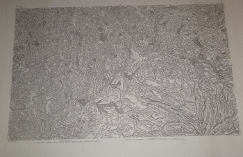
Carte de France Levée Par Ordre Du Roy. No. 14 Mauriac . Modern Printing
Cassini, de Thury, Cesar-Francois, (1714-1784) · 1780
$250.00 (€227.90 | £191.09 | ¥39,638)
Paris: circa 1780. Engraving on thick Arches paper. 73 x 104cm. sheet size.. Waterstain in top margin..Echelle de dix Mille Toises ; vingt mille mètres ; 20 000 T à la M. References: Konvitz, J. Cartography in France 1660-1848, p. 21-31; Pelletier, M. Les cartes des Cassini; R...
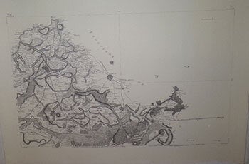
Carte de France Levée Par Ordre Du Roy. No. 41 (Lille. 1758) . Modern Printing
Cassini, de Thury, Cesar-Francois, (1714-1784) · 1758
$250.00 (€227.90 | £191.09 | ¥39,638)
Paris: circa 1758. Engraving on thick Arches paper. 73 x 104cm. sheet size...Echelle de dix Mille Toises ; vingt mille mètres ; 20 000 T à la M. References: Konvitz, J. Cartography in France 1660-1848, p. 21-31; Pelletier, M. Les cartes des Cassini; rumsey, 5694.06...The base ...
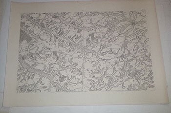
Carte de France Levée Par Ordre Du Roy. No. 4 (Abbeville. 1757) . Modern Printing
Cassini, de Thury, Cesar-Francois, (1714-1784); · 1757
$250.00 (€227.90 | £191.09 | ¥39,638)
Paris: circa 1757. Engraving on thick Arches paper. 73 x 104cm. sheet size.. Waterstain in top margin..Echelle de dix Mille Toises ; vingt mille mètres ; 20 000 T à la M. References: Konvitz, J. Cartography in France 1660-1848, p. 21-31; Pelletier, M. Les cartes des Cassini; R...
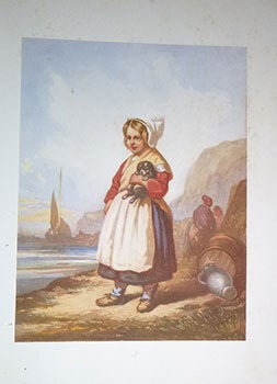
Aquarelles Et Sépias. A 19th Portfolio of Genre Scenes. Original Lithographs
Marvy, Louis French (1815 - 1850); After Louis Tesson, French (1820-1870) · 1840
$500.00 (€455.80 | £382.18 | ¥79,275)
Paris: A. Monrocq, circa 1840s. Folio. 39.5 x 28.5 cm. Original gilt cloth. 4 lithographs; 3 printed in colors. One in sepia: "Les commères normandes" (trimmed without text). Only one signed. Ref: Harvard Art Museums/Fogg Museum. Object Number R6447. .
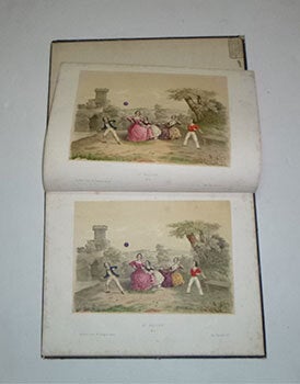
A Portfolio of 19th Century Chromolithographs by or After Charles Vallet and Hippolyte de Boug D'Orschwiller . Original Printing
Vallet, Charles; Hippolyte de Boug d'Orschwiller (1810-1868), artists; J. Rigo, Lebref; Lemercier, lithographers; Jules Henissart, provenance · 1840
$500.00 (€455.80 | £382.18 | ¥79,275)
Paris: Wild, circa 1840s. An album of 12 chromolithographs. 33.5 x 26 cm. Most in 2 states. Genre scenes by Vallet and rural achitecture by d'Orschwiller..OCLC Number / Unique Identifier: 82881491 for another work by Vallet. Original publisher's cloth boards..Ex-libris au nom ...
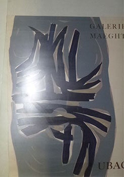
Galerie Maeght Exhibition Poster. First Edition of the Poster
Ubac, Raoul (1910-1985) · 1960
$250.00 (€227.90 | £191.09 | ¥39,638)
Paris: Galerie Maeght, circa 1960s. Color silkscreen. 66 x 50.5 cm. Rolled and unmounted. Crease along top. .
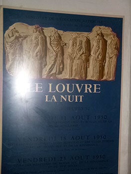
Le Louvre. La Nuit. 1950. First Edition of the Poster
Mourlot, Fernand (1895 - 1988) · 1950
$250.00 (€227.90 | £191.09 | ¥39,638)
Paris: Editions des Musées Nationaux, 1950. Color lithograph. 73 x 52cm. Rolled and unmounted. .