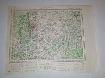
Institut Géographique National, France — Carte de France. Clermont-Ferrand. Type 1922. First Edition of the Map
Paris: Institut Géographique National,1971. Map printed in colors. 55.5 x 72cm. Echelle 1/100 000. .
Machine translation by Google. The original description of the seller is leading.
Log in or create an account to translate descriptions. Accedi
Numero libro:
16-6127
$100.00 (€91.16 | £76.44 | ¥15,855)