
A Book for all Reasons, ibooknet & PBFA
Books
13 books by A Book for all Reasons, ibooknet & PBFA

Map of NORTH EAST NORFOLK - 1921-1922 - Popular Edition Historical Map 133.
, · 2007
£20.00 (€23.95 | $26.90 | ¥4,250)
Cassini Publishing Ltd., Southampton, 2007 Concertina style folded map on sheet 38" x 24", front cover image Irstead Church, Scale 1:50,000, Ordnance Survey Popular Edition One-Inch map enlarged and re-projected to match the area of Ordnance Survey Landranger 133, including Ay...

Map of PLYMOUTH & LAUNCESTON, 1919 - Popular Edition HIstorical Map.
, · 2007
£6.00 (€7.19 | $8.07 | ¥1,275)
Cassini Publishing Ltd., Southampton, 2007 Concertina style folded map on sheet 38" x 24", front cover image The Tamar at Calstock, Scale 1:50,000, Ordnance Survey Popular Edition One-Inch map enlarged and re-projected to match the area of Ordnance Survey Landranger 201, Liske...
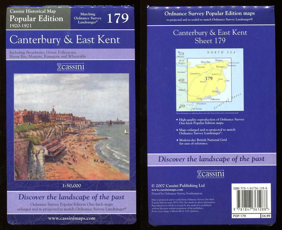
Map of CANTERBURY & EAST KENT, 1920-1921 - Popular Edition HIstorical Map.
, · 2007
£12.00 (€14.37 | $16.14 | ¥2,550)
Cassini Publishing Ltd., Southampton, 2007 Concertina style folded map on sheet 38" x 24", front cover image Cliftonville, Scale 1:50,000, Ordnance Survey Popular Edition One-Inch map enlarged and re-projected to match the area of Ordnance Survey Landranger 179, Broadstairs, D...
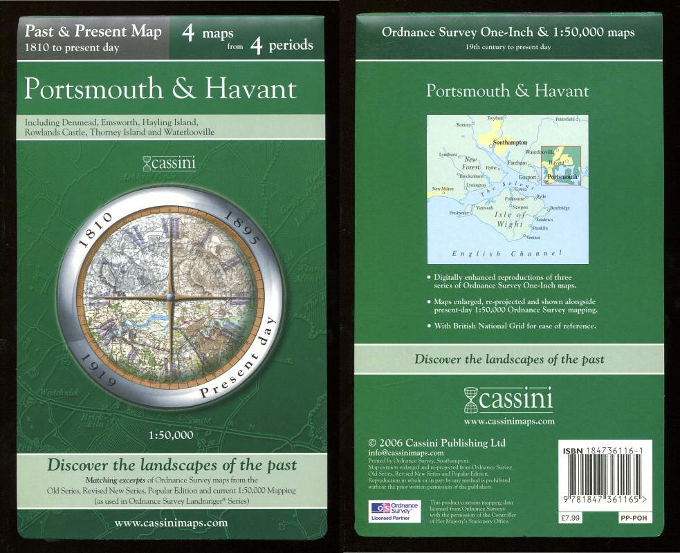
Map of PORTSMOUTH & HAVANT, 1810 to present day in the Past & Present Series,.
, · 2006
£12.00 (€14.37 | $16.14 | ¥2,550)
Cassini Publishing Ltd., Southampton, 2006 Concertina style folded map on sheet 38" x 24", Scale 1:50,000, incorporating four maps of Portsmouth and Havant, Ordnance Survey Old Series 1810, OS Revised New Series 1895, OS Popular Edition 1919 and OS Present day mapping data (20...

Map of CHATHAM, GILLINGHAM & ROCHESTER, 1805 to present day in the Past & Present Series,.
, · 2006
£12.00 (€14.37 | $16.14 | ¥2,550)
Cassini Publishing Ltd., Southampton, 2006 Concertina style folded map on sheet 38" x 24", Scale 1:50,000, incorporating four maps of Chatham, Gillingham and Rochester, Ordnance Survey Old Series 1805-1819, OS Revised New Series 1896, OS Popular Edition 1921 and OS Present day...

Map of LIVERPOOL 1947 - New Popular Edition Historical Map 108.
, · 2008
£6.00 (€7.19 | $8.07 | ¥1,275)
Cassini Publishing Ltd., Southampton, 2008 Concertina style folded map on sheet 38" x 24", front cover image Liverpool Overhead Railway Poster, Scale 1:50,000, Ordnance Survey New Popular Edition One-Inch map combined and enlarged to match Ordnance Survey Landranger 108, inclu...

Map of NORWICH & THE BROADS - 1921-1922 - Popular Edition Historical Map 134.
, · 2007
£8.00 (€9.58 | $10.76 | ¥1,700)
Cassini Publishing Ltd., Southampton, 2007 Concertina style folded map on sheet 38" x 24", front cover image The Thurne, Scale 1:50,000, Ordnance Survey Popular Edition One-Inch map enlarged and re-projected to match the area of Ordnance Survey Landranger 134, including Aylsha...

Map of NORWICH & THE BROADS - 1901-1902 - Revised New Series Historical Map 134.
, · 2007
£15.00 (€17.97 | $20.18 | ¥3,188)
Cassini Publishing Ltd., Southampton, 2007 Concertina style folded map on sheet 38" x 24", front coverb image Wellington Gardens, Great Yarmouth, Scale 1:50,000, Ordnance Survey Revised New Series One-Inch map enlarged and re-projected to match the area of Ordnance Survey Land...
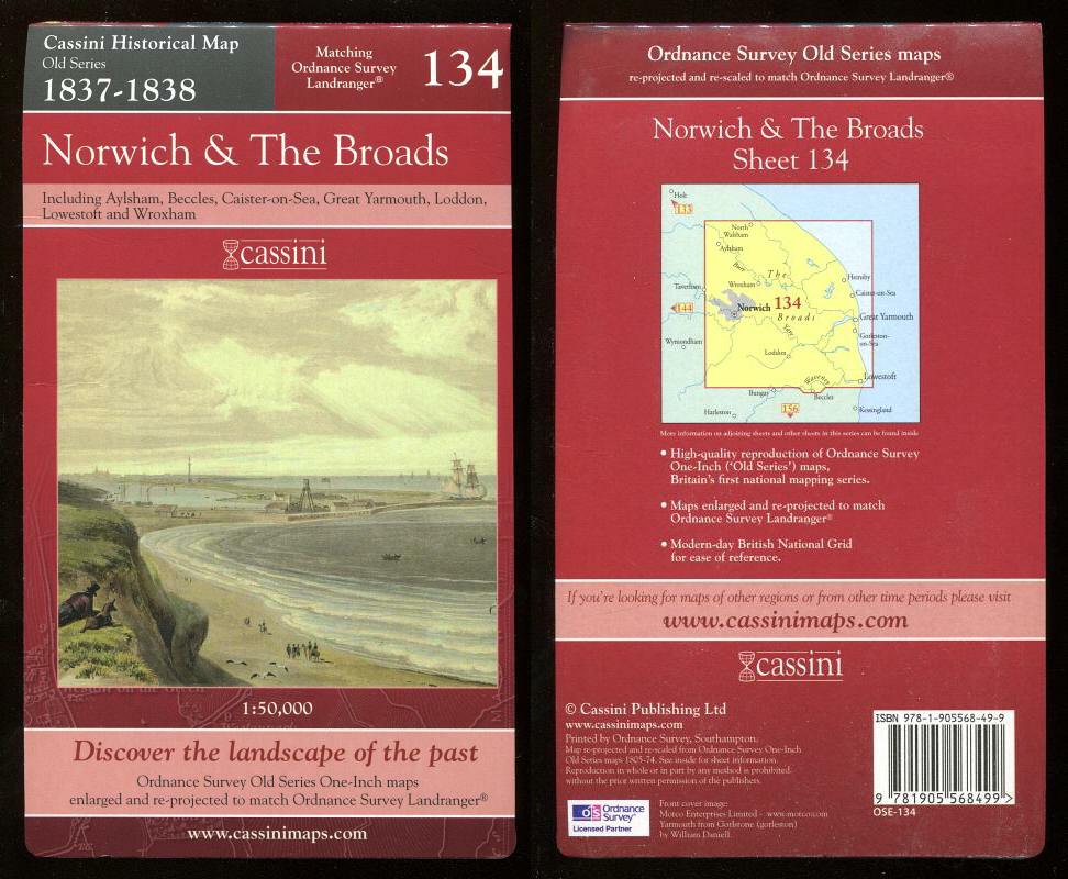
Map of NORWICH & THE BROADS - 1837-1838 - Historical Map Old Series Matching Ordnance Survey Landranger 134.
, · 2006
£12.00 (€14.37 | $16.14 | ¥2,550)
Cassini Publishing Ltd., Southampton, 2006 Concertina style folded map on sheet 38" x 24", front cover image Yarmouth from Gorlstone (sic), Scale 1:50,000, Ordnance Survey Old Series One-Inch map enlarged and re-projected to match the area of Ordnance Survey Landranger 134, in...

Map of SAXMUNDHAM, ALDEBURGH & SOUTHWOLD - 1898-1901 - Revised New Series Historical Map 156.
, · 2007
£10.00 (€11.98 | $13.45 | ¥2,125)
Cassini Publishing Ltd., Southampton, 2007 Concertina style folded map on sheet 38" x 24", front cover image Aldeburgh High Street, Scale 1:50,000, Ordnance Survey Revised New Series One-Inch map enlarged and re-projected to match the area of OS Landranger 156, including Beccl...

Map of SAXMUNDHAM, ALDEBURGH & SOUTHWOLD - 1920-1921 - Popular Edition HIstorical Map 156.
, · 2007
£5.50 (€6.59 | $7.40 | ¥1,169)
Cassini Publishing Ltd., Southampton, 2007 Concertina style folded map on sheet 38" x 24", front cover image Walberswick, Scale 1:50,000, Ordnance Survey Popular Edition one-inch map enlarged and re-projected to match the area of Ordnance Survey Landranger 156, including Beccl...

Map of IPSWICH & THE NAZE - 1921 - Popular Edition HIstorical Map 169.
, · 2007
£5.50 (€6.59 | $7.40 | ¥1,169)
Cassini Publishing Ltd., Southampton, 2007 Concertina style folded map on sheet 38" x 24", front cover image Dedham, Scale 1:50,000, Ordnance Survey Popular Edition one-inch map enlarged and re-projected to match the area of Ordnance Survey Landranger 169, including Brightling...

Map of IPSWICH & THE NAZE - 1898-1899 - Revised New Series Historical Map 169.
, · 2007
£15.00 (€17.97 | $20.18 | ¥3,188)
Cassini Publishing Ltd., Southampton, 2007 Concertina style folded map on sheet 38" x 24", front cover image Undercliff Road, Felixstowe, Scale 1:50,000, Ordnance Survey Revised New Series One-Inch map enlarged and re-projected to match the area of OS Landranger 169, including...