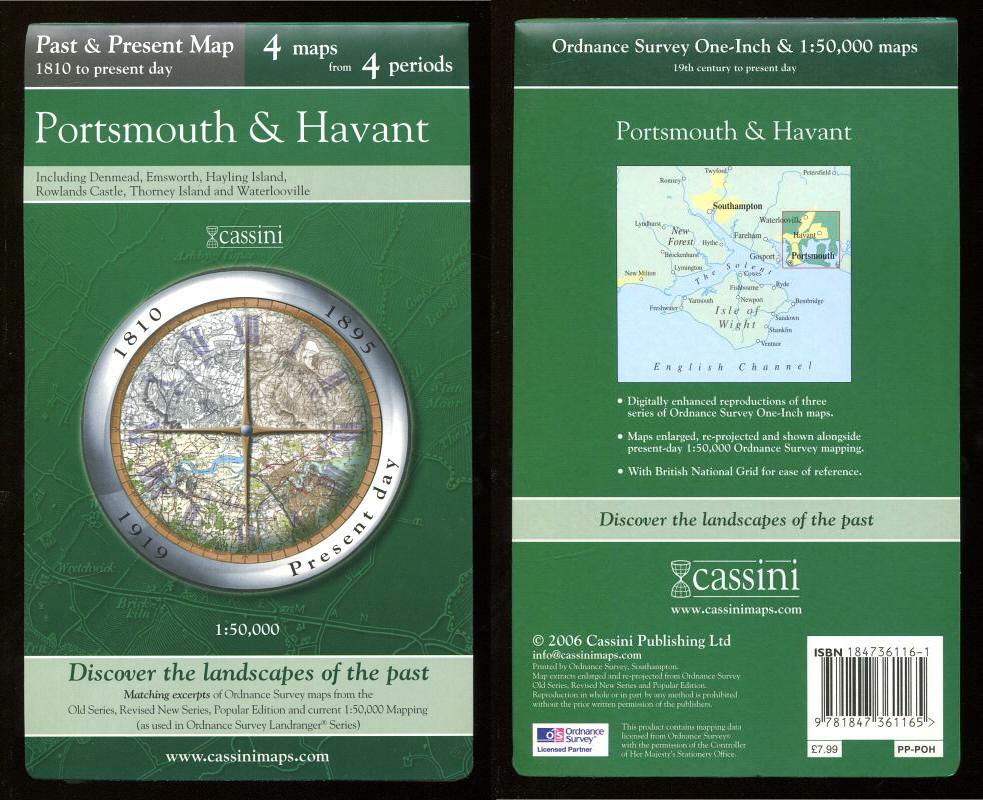
, — Map of PORTSMOUTH & HAVANT, 1810 to present day in the Past & Present Series,.
Cassini Publishing Ltd., Southampton, 2006 Concertina style folded map on sheet 38" x 24", Scale 1:50,000, incorporating four maps of Portsmouth and Havant, Ordnance Survey Old Series 1810, OS Revised New Series 1895, OS Popular Edition 1919 and OS Present day mapping data (2006), including Denmead, Emsworth, Hayling Island, Rowlands Castle, Thorney Island and Waterlooville, fine,
Machine translation by Google. The original description of the seller is leading.
Log in or create an account to translate descriptions. Accedi
Numero libro:
44990
£12.00 (€14.32 | $15.71 | ¥2,490)