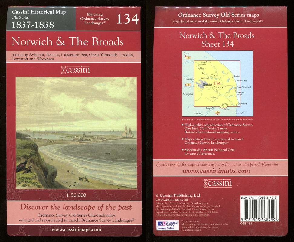
, — Map of NORWICH & THE BROADS - 1837-1838 - Historical Map Old Series Matching Ordnance Survey Landranger 134.
Cassini Publishing Ltd., Southampton, 2006 Concertina style folded map on sheet 38" x 24", front cover image Yarmouth from Gorlstone (sic), Scale 1:50,000, Ordnance Survey Old Series One-Inch map enlarged and re-projected to match the area of Ordnance Survey Landranger 134, including Aylsham, Beccles, Caister on Sea, Great Yarmouth, Loddon, Lowestoft, Stalham and Wroxham, fine,
Machine translation by Google. The original description of the seller is leading.
Log in or create an account to translate descriptions. Accedi
Numero libro:
44106
£12.00 (€14.38 | $15.77 | ¥2,517)