
Mullen Books, Inc. ABAA / ILAB
Libri
89 libri di Mullen Books, Inc. ABAA / ILAB

A Descriptive List of Maps and Views of Philadelphia in the Library of Congress, 1683-1865
Phillips, P. Lee · 1926
$45.00 (€41.02 | £34.24 | ¥7,182)
Philadelphia, Pennsylvania, Geographical Society of Philadelphia, 1926. Hardcover. Blue cloth-covered boards with gilt lettering and design; frontispiece; viii, 91 pp. Special publication number two of the Geographical Society of Philadelphia, issued by permission of the Libra...
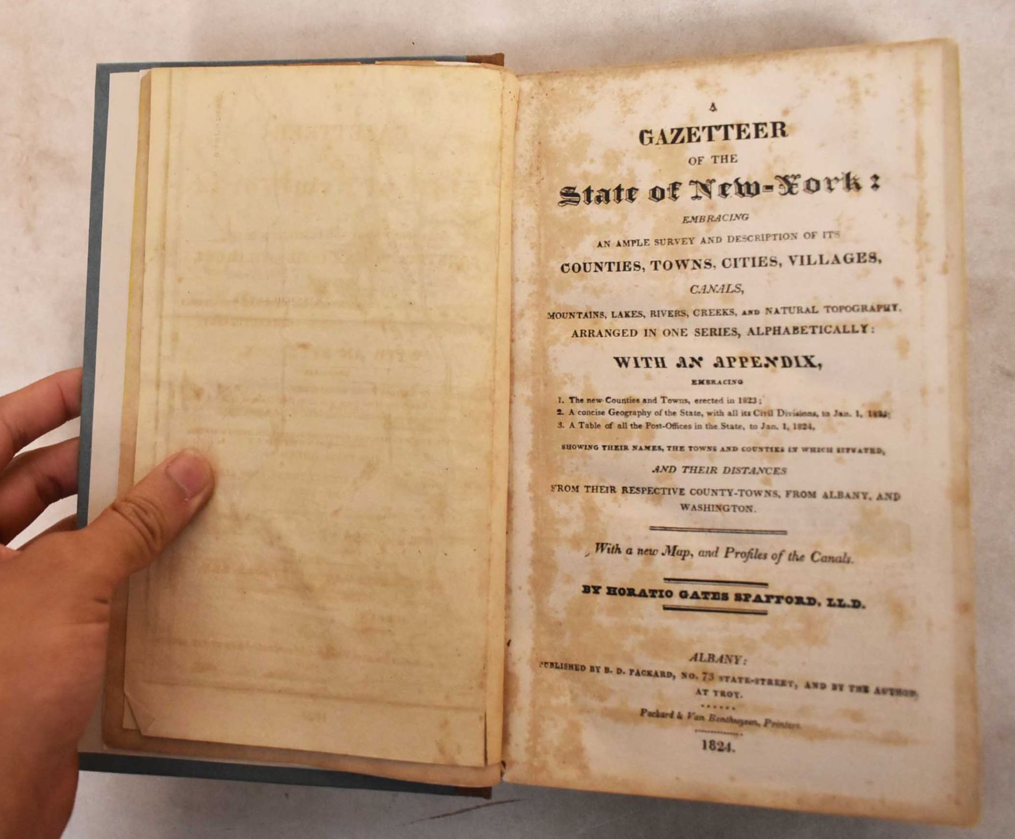
A Gazetteer of the State of New York: Embracing an Ample Survey and Description of Its Counties, Towns, Cities, Villages, Canals, Mountains, Lakes, Rivers, Creeks, and Natural Topography Arranged in One Series, Alphabetically
Spafford, Horatio Gates · 1824
$200.00 (€182.32 | £152.18 | ¥31,919)
Albany, B.D. Packard, 1824. Hardcover. Bound in half brown cloth and blue paper boards, tan title block with black lettering on spine, yellow tinted text block; folded map, 620 pp. Printed in two columns. Error in paging: p. 468 misnumbered 568. Full title page: "A gazetteer o...
Comparative Cartography
Stevens, Henry Newton and Roland Tree · 1967
$45.00 (€41.02 | £34.24 | ¥7,182)
London, Map Collectors' Circle, 1967. Softcover. Tan paper wraps with black lettering; 1-12 pp, 305-363 pp. Map Collectors' Series, Fourth Volume. No. 39. Comparative Cartography. Originally published in Essays honoring Lawrence C. Wroth, Portland, Me. 1951. VG .
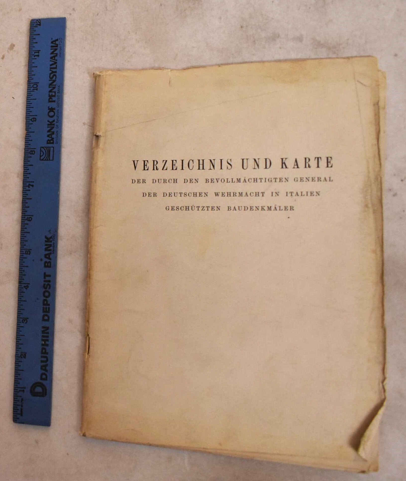
Verzeichnis Und Karte Der Durch Den Bevollmachtigten General Der Deutschen Wehrmacht in Italien Geschutzten Baudenkmaler
Langsdorff, Alexander · 1945
$100.00 (€91.16 | £76.09 | ¥15,959)
not dated, [Erscheinungsort nicht ermittelbar], 1945. Softcover. Off-white wraps with black lettering; 20 pp text, rear pocket holds a folded black, white and red map. Text is in German List and map of the monuments protected by the Plenipotentiary General of the German Wehrma...
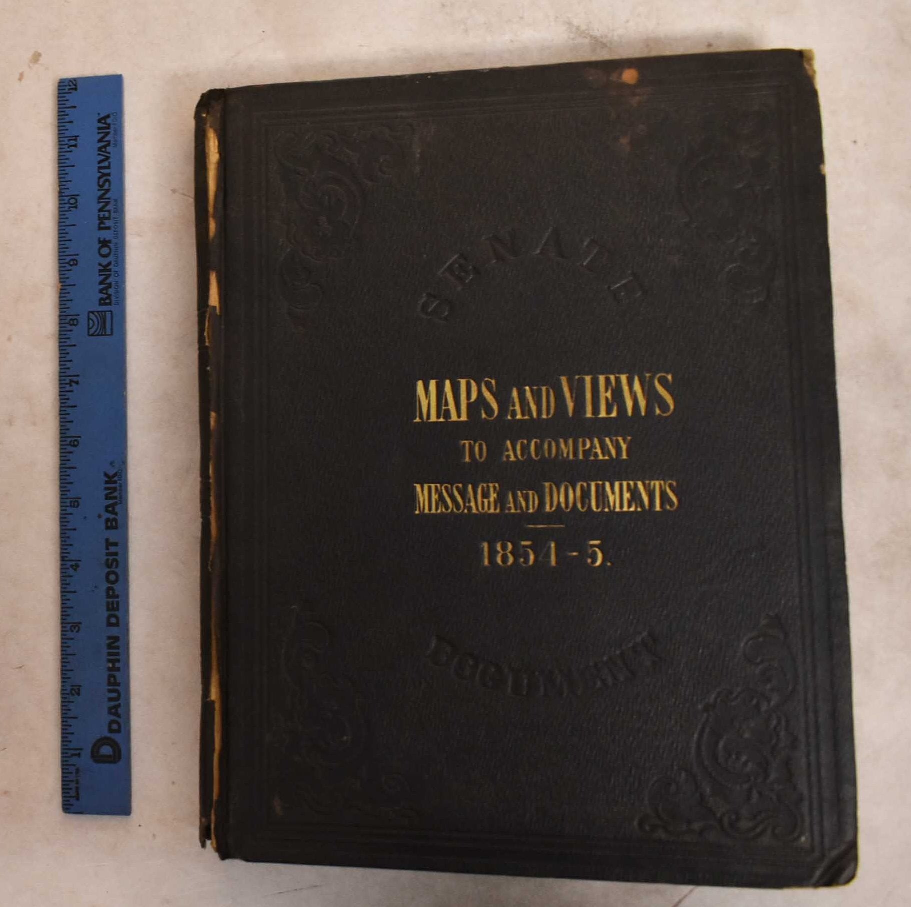
Message from the President of the United States to the Two Houses of Congress, at the Commencement of the Second Session of the Thirty-Third Congress, Part III, Illustrations Belonging to Reports Accompanying the Message
United States General Land Office; United States Commissioner of Public Buildings; et. al · 1854
$300.00 (€273.48 | £228.27 | ¥47,878)
Washington, D. C. A.O.P. Nicholson, Printer, 1854. Hardcover. Black cloth boards with gilt lettering, textured stamped design; unpaginated, 44 maps and plans, many of them folded. Contents: Illustrations accompanying the report of the Commissioner of the General Land Office --...
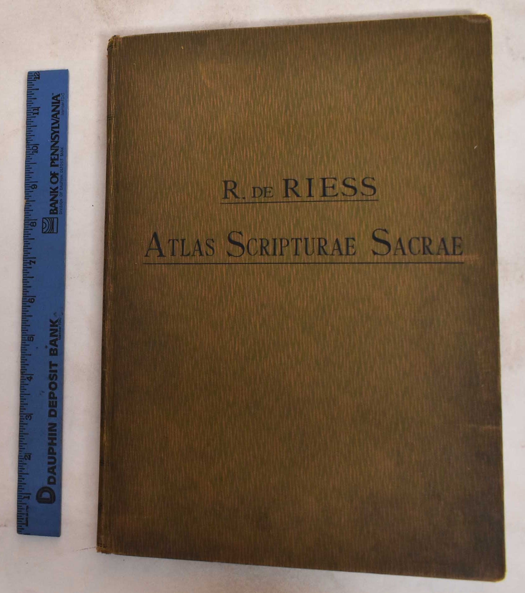
Atlas Scripturae Sacrae : Decem Tabulae Geographicae : Cum Indice Locorum Scripturae Sacra Vulgatae Editionis : Scriptorum Ecclesiasticorum Et Ethnicorum
Riess, Richard von · 1906
$65.00 (€59.25 | £49.46 | ¥10,374)
Friburgi Brisgoviae, Herder, 1906. Hardcover. Latin Text. Green/orange cloth boards. 26 pages, plates : color maps. VG Cover has general wear and some damage at spine. Bookblock has age toning. Inerior pages have age toning.
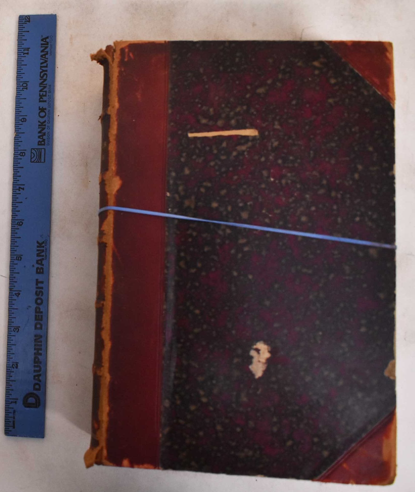
Military Geography - Volumes I and II
Marga, Anatole (Commandant) · 1885
$200.00 (€182.32 | £152.18 | ¥31,919)
Paris, Berger-Levrault, 1885. 4th edition. Hardcover. All titles have leather spine and corner tabs, marbled boards; 5-band ridged spine. Vol 1: 448 pp,; Vol 2: 384pp. Text in French. Contents: Tomo 1: Generalities on geography and Europe. France: Land borders.- Tomo 2: France...
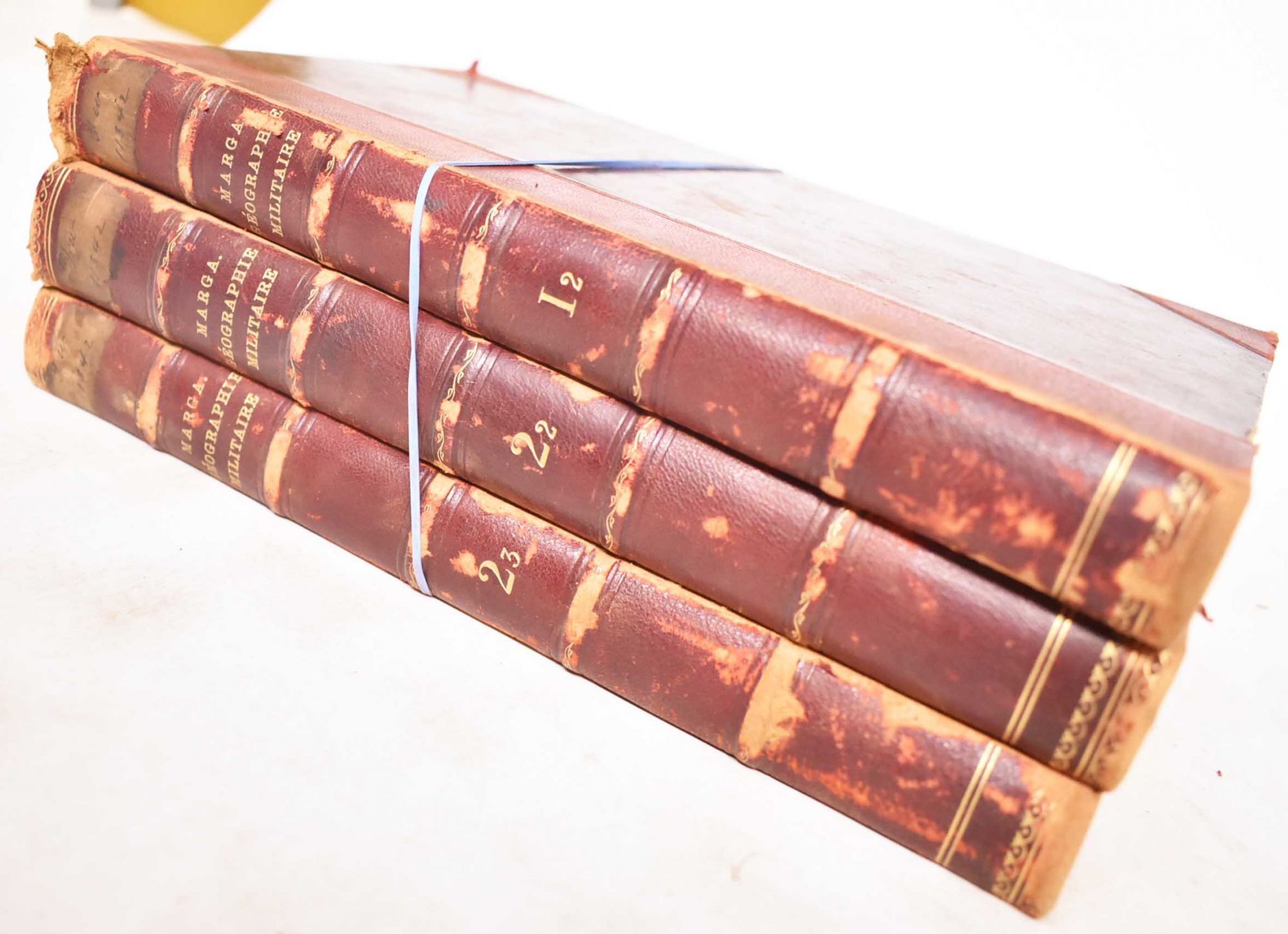
Military Geography - Volumes I, II and III
Marga, Anatole (Commandant) · 1884
$300.00 (€273.48 | £228.27 | ¥47,878)
Paris, Berger-Levrault, 1884. 3rd edition. Hardcover. All titles have leather spine and corner tabs, marbled boards; 5-band ridged spine. Vol 1.2: 317 pp, Vol. 2.2: 347 pp, Vol 2.3: 303 pp. Text in French. Contents: Tomo 1: Small states of central Europe. Germany.- Tomo 2: Aus...
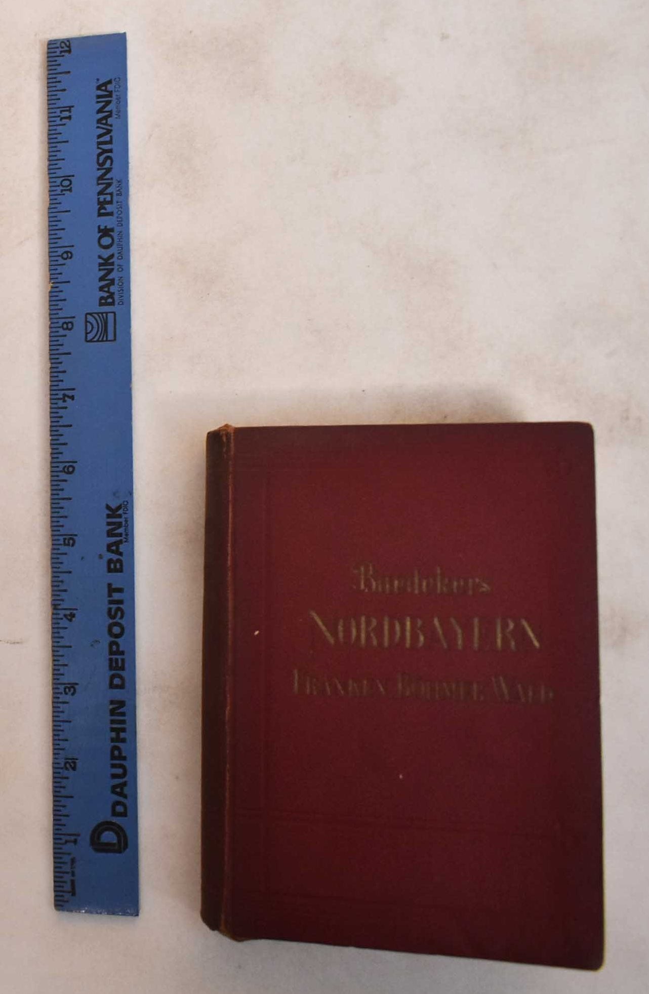
Nordbayern, Franken, Oberpfalz, Niederbayern, Bayerischer Und Bohmer Wald Bohmische Grenzgebiete: Handbuch Fur Reisende
Baedeker, Karl · 1930
$50.00 (€45.58 | £38.04 | ¥7,980)
Leipzig, Karl Baedeker, 1930. Softcover. Red stiff wraps with gilt lettering; marble illustrated text block; text illustrated front end papers, map illustrated rear end papers; fold out map frontispiece; xxxvi, 340 pp; maps throughout, many of them fold out. Text is in German....
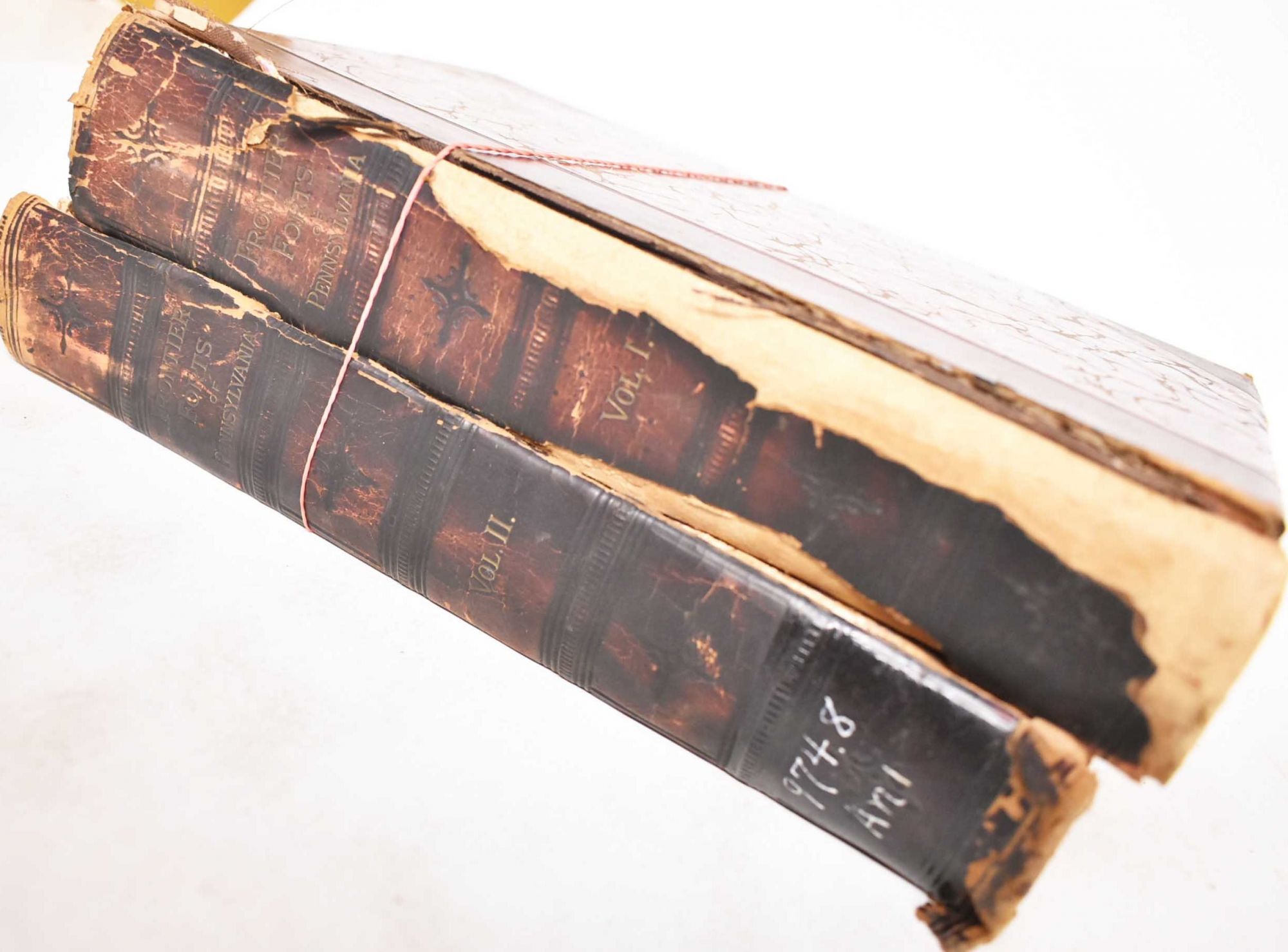
Report of the Commission to Locate the Site of the Frontier Forts of Pennsylvania - 2 Volumes
Commission to Locate the Site of the Frontier Forts of Pennsylvania · 1896
$140.00 (€127.62 | £106.52 | ¥22,343)
Harrisburg, C.M. Busch, State printer, 1896. Hardcover. Marbled covers, leather spine and corners. 2 volumes : illustrations, plates, folded maps . v. 1. The Indian forts of the Blue Mountains. By H.M. Richards. The frontier forts within the north and west branches of the Susq...
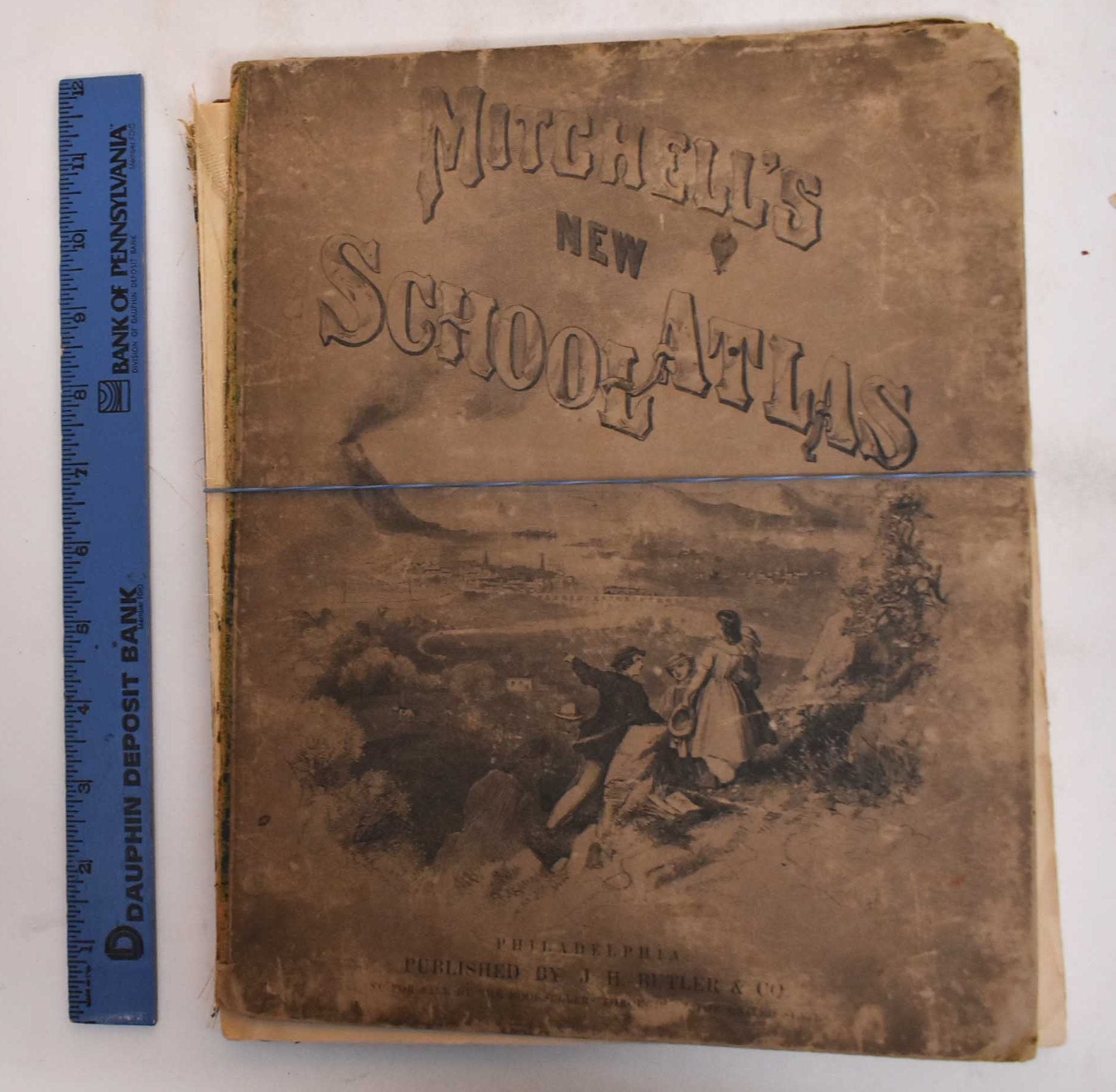
Mitchell's Modern Atlas
Mitchell, S. Augustus · 1874
$225.00 (€205.11 | £171.20 | ¥35,909)
Philadelphia, J.H. Butler & Co, 1874. Hardcover. Illustrated board covers. 2 unnumbered pages, 40 pages of plates, 24 pages : color maps (part double). A series of forty-four copperplate maps, compiled from the great atlases of Keith Johnston, Kiepert, the Geographical Institu...
Property Map of Lake Hopatcong, New Jersey
Maxim, Hudson; Boomer, P. E. · 1912
$1,250.00 (€1,139.48 | £951.11 | ¥199,493)
Landing, N.J. Walker Engraving Co, 1912. Ephemera. 1 map : color. Prepared by Hudson Maxim for the Morris Canal Investigation Commission, November 16, 1912 ; compiled from various maps and actual surveys by P.E. Boomer. Map is in good condition. Colors are bright. Green indica...
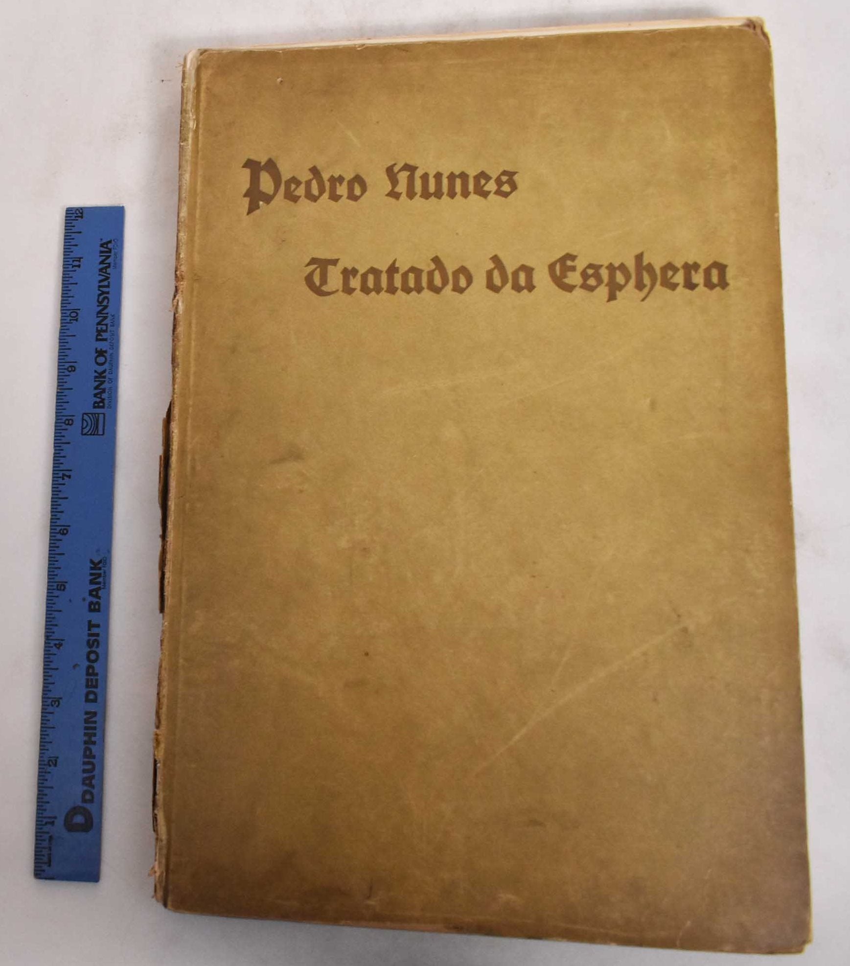
Tratado Da Sphera Com a Therorica Do Sol E Da Lua E Ho Primeiro Livro Da Geographia de Claudio Ptolomeo
Nunes, Pedro; Joannes de Sacro Bosco and Ptolemy · 1915
$375.00 (€341.85 | £285.33 | ¥59,848)
Munich, J.B. Obernetter, 1915. Hardcover. Tan boards with brown lettering, 2 preliminary leaves, 180 pp (many uncut), bw illustrations and diagrams. Text is in Portuguese. Title translates to: "Treaty of the sphera with Theorica of the sun and the moon and the first book of Ge...
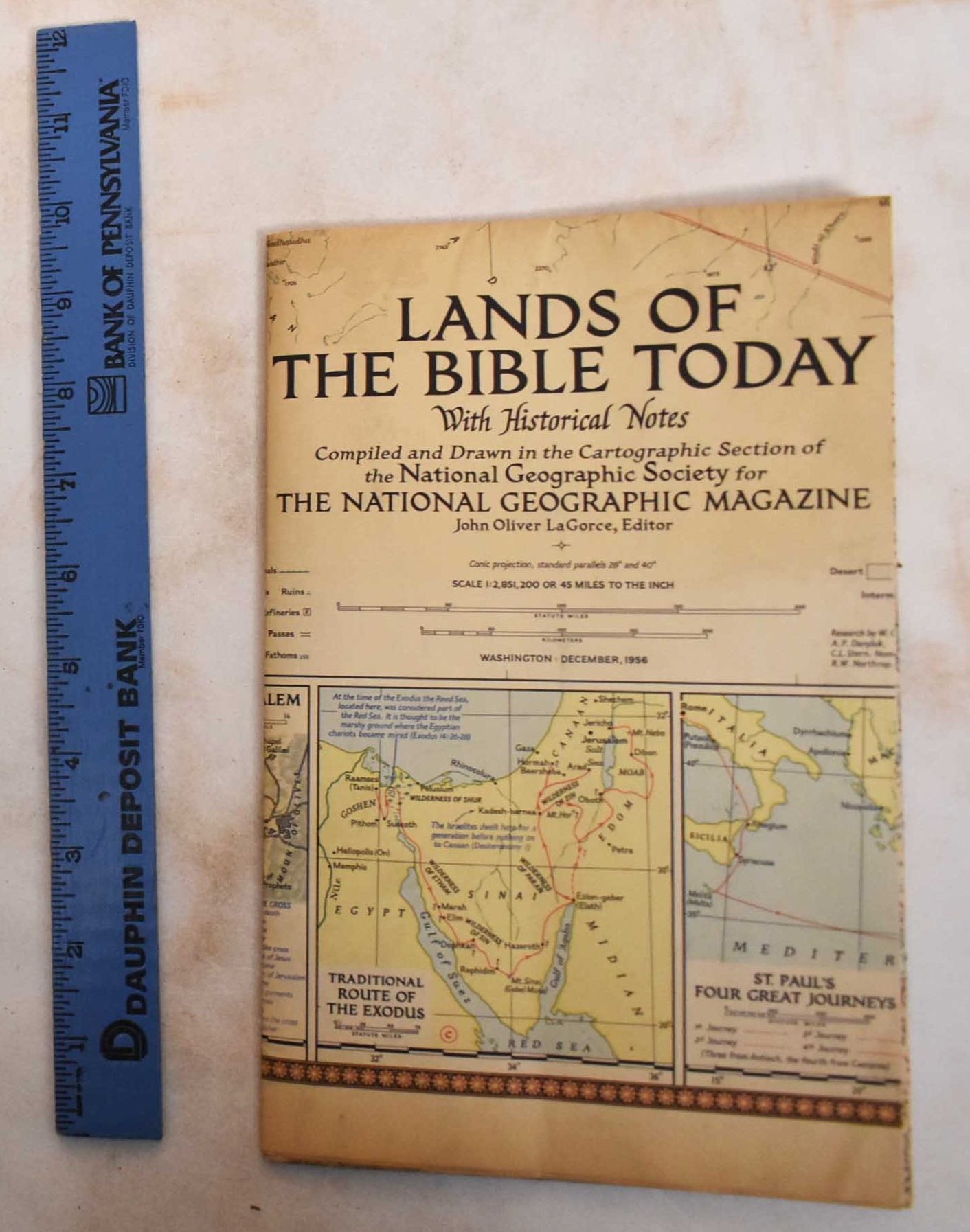
Lands of the Bible Today with Historical Notes
LaGorce, John Oliver · 1956
$50.00 (€45.58 | £38.04 | ¥7,980)
Washington DC, National Geographic Society, 1956. Pamphlet. Color fold-out map. Scale: 1:2.851.200; Conic proj.; Standard parallels 28o. and 40o. Compiled and drawn in the Cartographic Section of the National Geographic Society for the National Geographic Magazine; John Oliver...
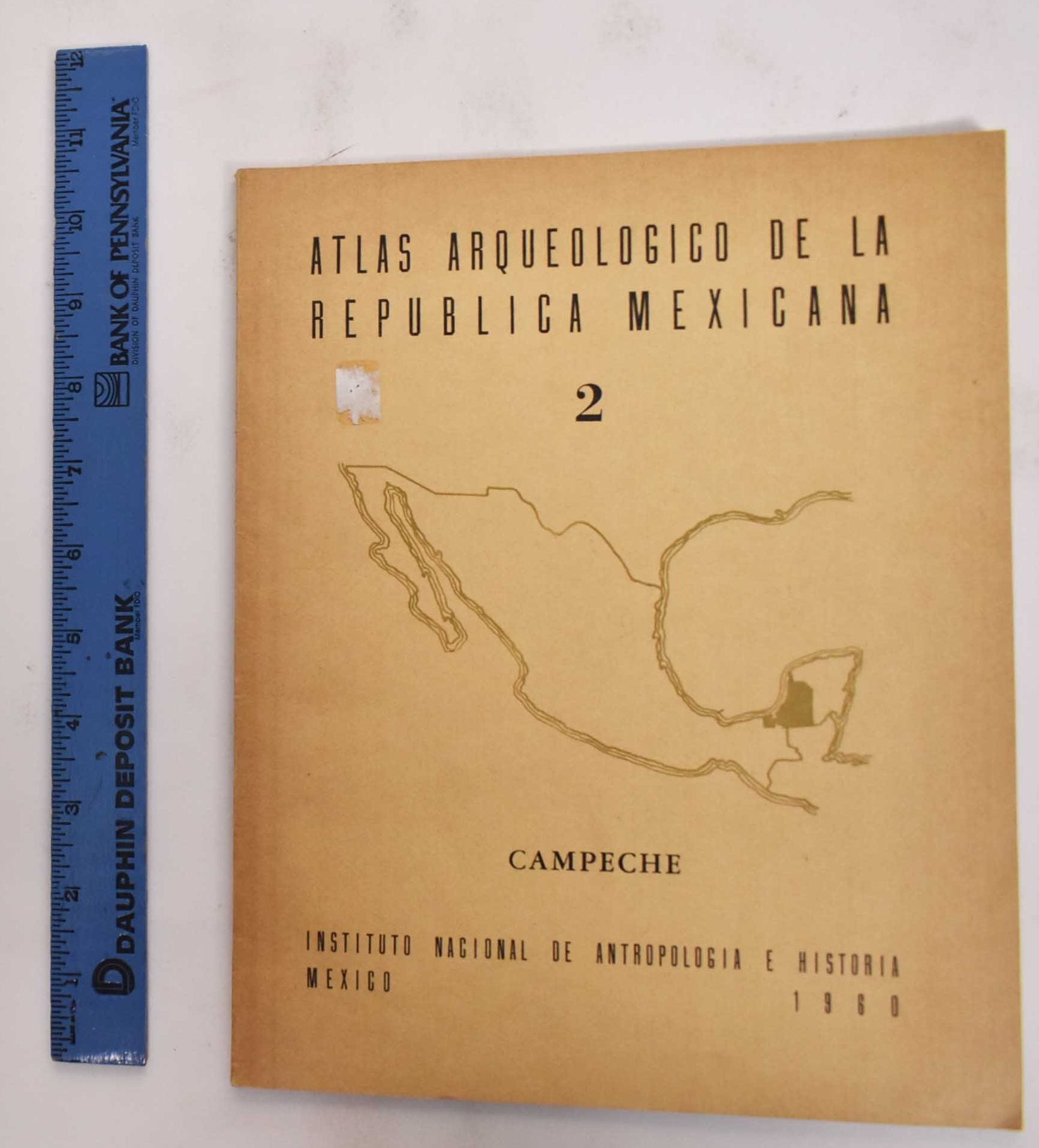
Atlas Arqueologico de la Republica Mexicana: Campeche, 2
Muller, Florencia · 1960
$29.97 (€27.32 | £22.80 | ¥4,783)
Mexico, Instituto Nacional de Antropología e Historia, 1960. Softcover. Tan illustrated wraps with black lettering, 54 pp, illustrated in bw with a large fold out map in rear. Text in Spanish. Volume 2 of a 3 volume set, this one titled, "Campeche". Archaeological Atlas of the...
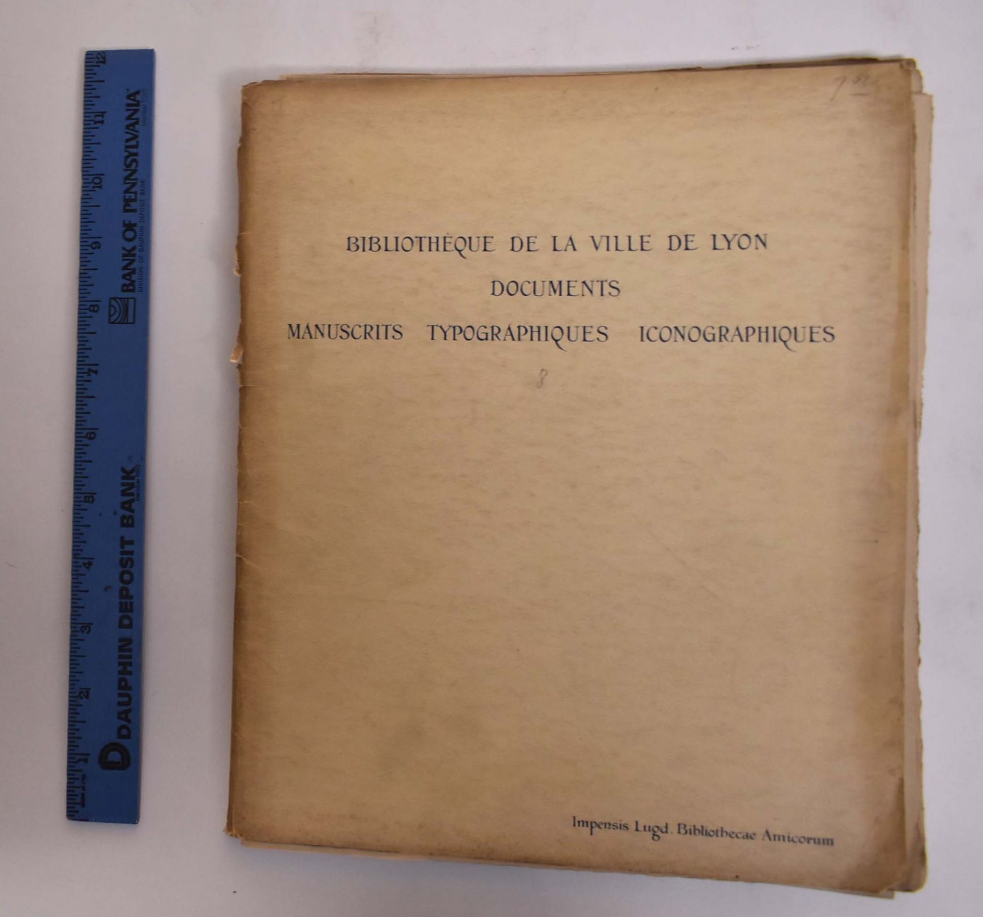
Documents Paleographiques, Typographiques, Iconographiques
Cantinelli, R. and Henri Joly · 1929
$250.00 (€227.90 | £190.22 | ¥39,899)
Lyon, Amis de la Bibliothèque de Lyon, 1929. Softcover. Off-white wraps with dark blue lettering on front cover, 22 pp of text in three booklets, followed by 14 bw plates. One of three hundred fifty copies printed. Text in French. Eighth booklet. Good+ (staining and wear with ...
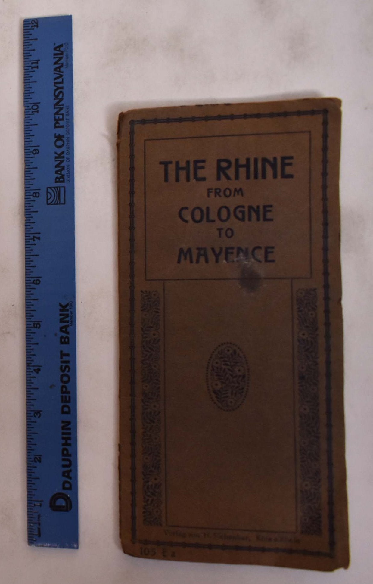
The Rhine from Cologne to Mayence
0
$35.00 (€31.91 | £26.63 | ¥5,586)
Germany, Karl Rud, Bremer & Co, (not listed). Pamphlet. Brown wraps with black lettering and design, pamphlet with 9 fold out panels of map of Rhine River. Map of The Rhine. Text in English. Includes descriptions throughout of many areas and landmarks from Cologne to Mayence. ...
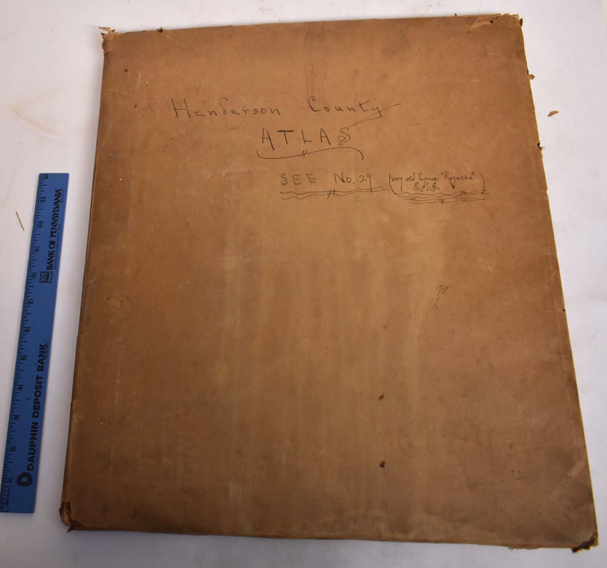
Standard Atlas of Henderson County, Illinois Including a Plat Book of the Villages, Cities and Townships of the County, Map of the State, United States and World: Patrons Directory, Reference Business Directory and Departments Devoted to General Information
1900
$600.00 (€546.95 | £456.53 | ¥95,757)
Chicago, Geo. A. Ogle & Co. Publishers and Engravers, 1900. Hardcover. Possibly red leather covers (currently covered by old paper wraps with writing on them). [4], 7-68, xxii pages illustrations, portraits, maps 45 x 39 cm. In addition to the maps of the county, there is an 1...
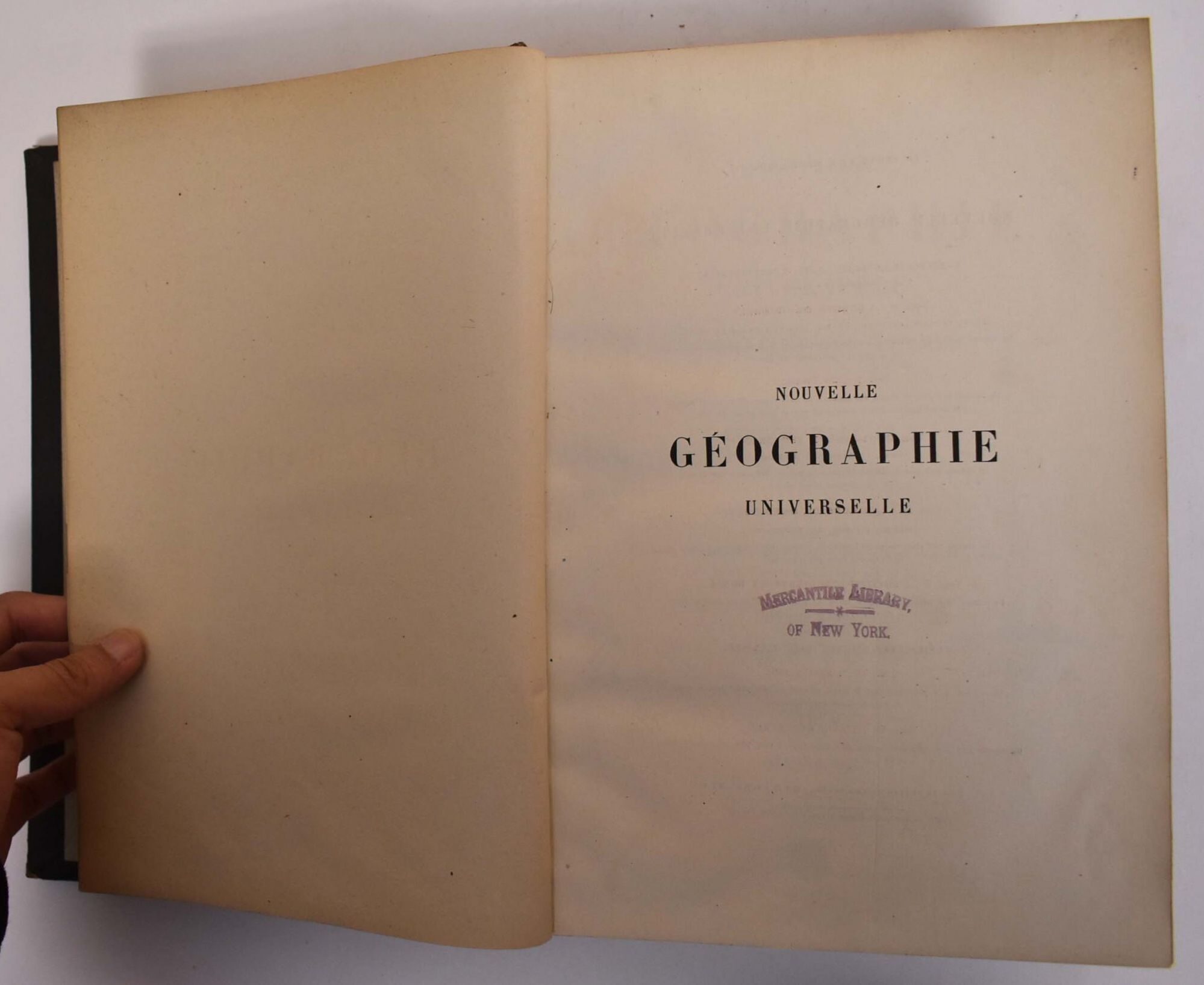
Nouvelle Geographie Universelle: La Terre Et Les Hommes, VII: L'Inde Et L'Indo-Chine
Reclus, Jean Jacques Elisée · 1883
$100.00 (€91.16 | £76.09 | ¥15,959)
Paris, Hachette, 1883. Hardcover. Black leather boards. 982 pp. BW illustrations. Text in French. Includes bibliographical references and index. Good- lacks spine, so front cover is detached. moderate scuffing and rubbing to boards and wear to extremities.
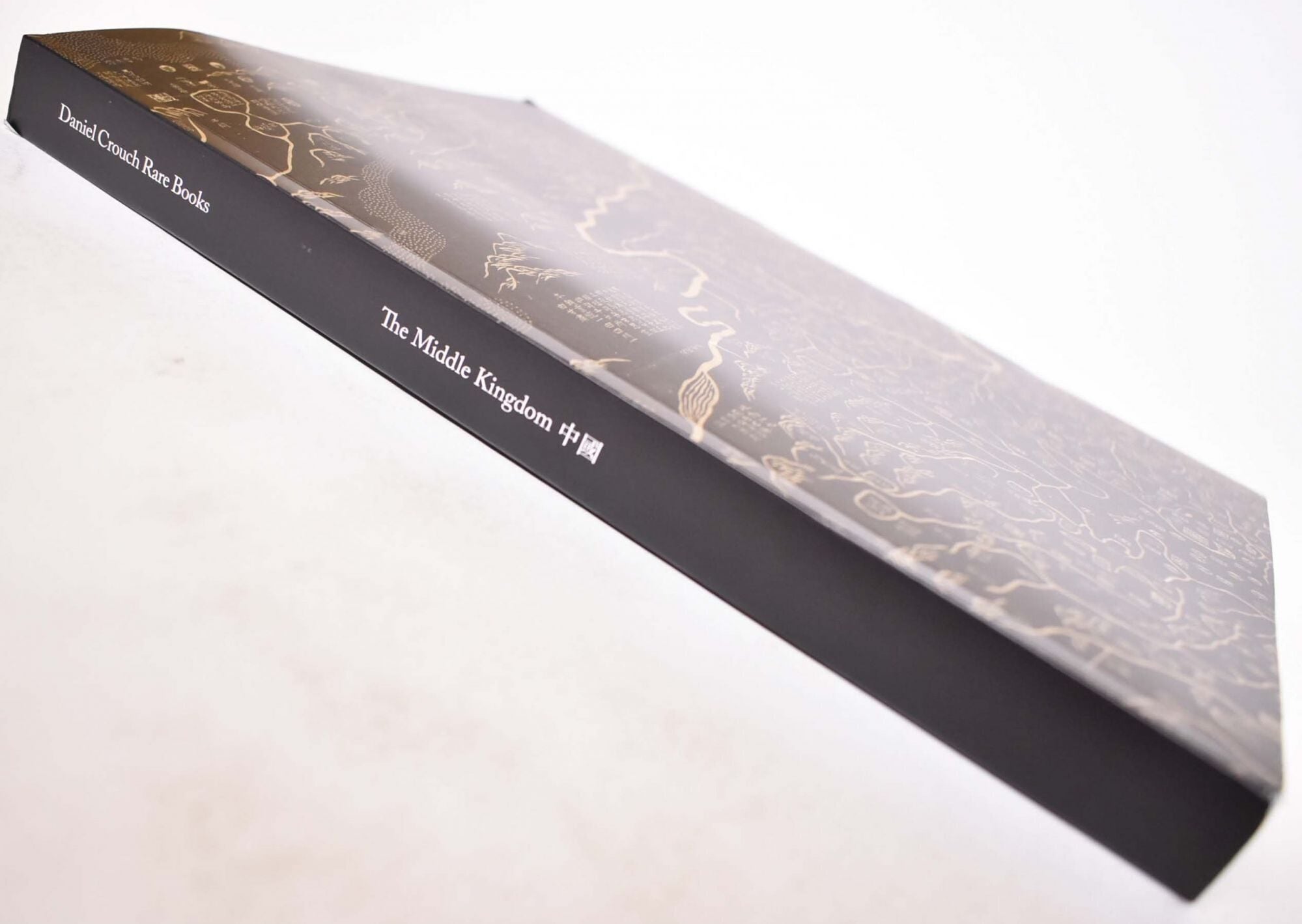
The Middle Kingdom
Crouch, Daniel, Noah Goldrach · 2019
$40.00 (€36.46 | £30.44 | ¥6,384)
London, Daniel Crouch Rare Books, 2019. Paperback. Black and tan illustrated wraps with white spine lettering. 234 pp. Color and BW illustrations. Photography by Louie Fasciolo. Includes bibliographical references. VG .