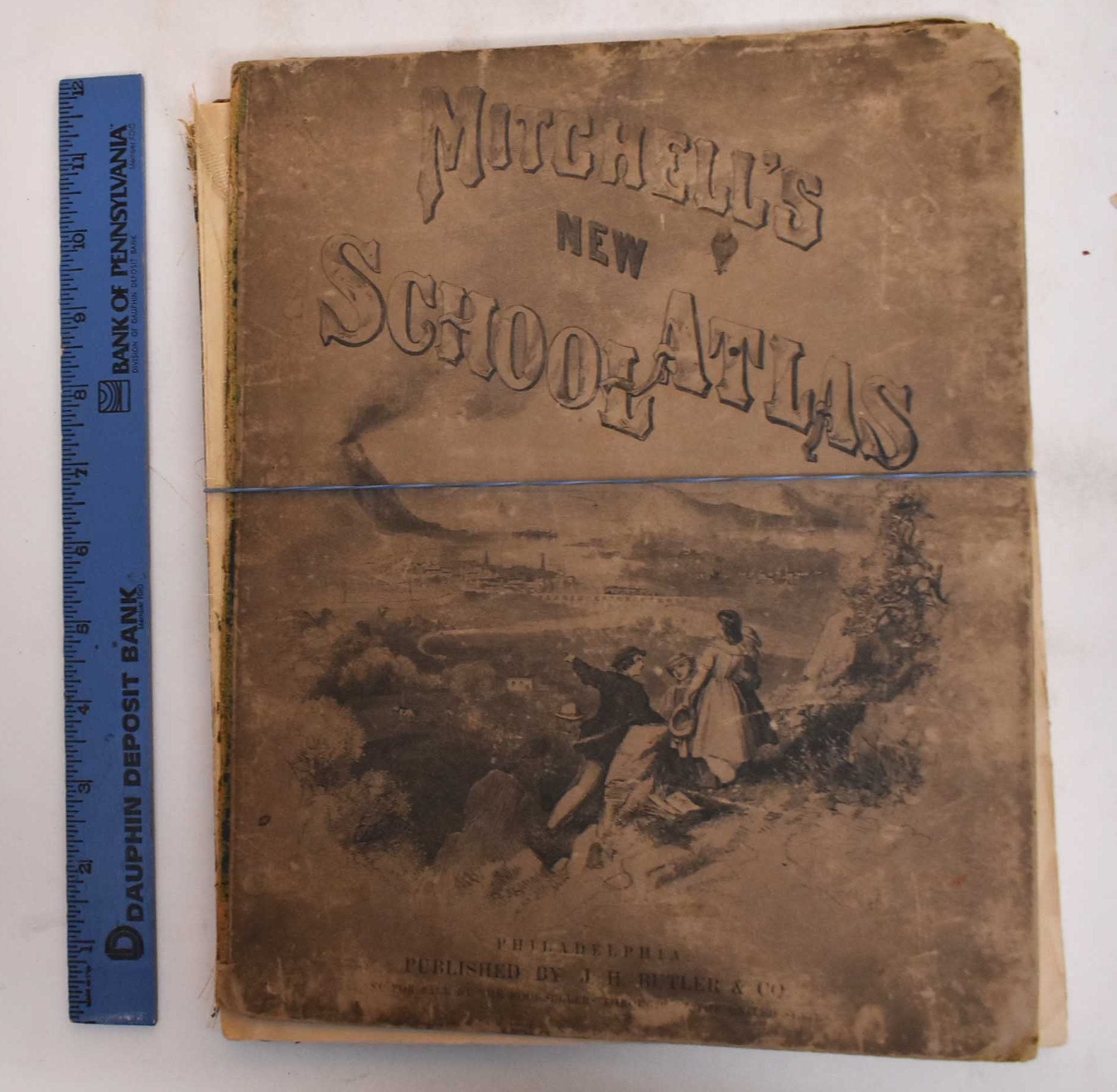
Mitchell, S. Augustus — Mitchell's Modern Atlas
Philadelphia, J.H. Butler & Co, 1874. Hardcover. Illustrated board covers. 2 unnumbered pages, 40 pages of plates, 24 pages : color maps (part double). A series of forty-four copperplate maps, compiled from the great atlases of Keith Johnston, Kiepert, the Geographical Institute of Weimar, from the United States Coast Survey, the surveys of the War Department and of the several states, and from other reliable authorities, drawn and engraved expressly to illustrate Mitchell's New School Geography. With important geographical tables, and an extensive pronouncing vocabulary of nearly ten thousand names. Two maps numbered XVIII./ Publisher's advertisement on back cover. Could easily be re-bound or used for maps only. G+/Fair, covers are heavily worn, rubbed and chipped. Front cover is detached. Spine is gone. Pages are good, maps are clean and bright. Ex-library stamps on flyleafs but not on any maps.