
Mare Booksellers
Libri
8 libri di Mare Booksellers

Scenic Map of Taiwan (Formosa) Island Province of the Republic of China
1950
$54.00 (€49.03 | £40.90 | ¥8,610)
Taipei, Taiwan, Taiwan Travel Service, Publisher. Unbound. no date, perhaps late 1950s. Distributed by the Chinese News Service in New York. Text in English and Chinese. 14 by 10 inches. Black and white printing. A map of Taiwan, promoting its various sites and cities for the ...
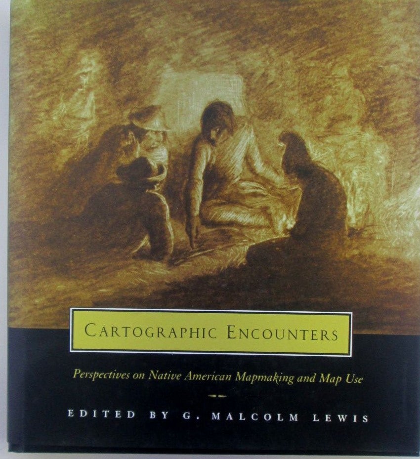
Cartographic Encounters. Perspectives on Native American Mapmaking and Map Use
Lewis, G. Malcolm (editor) · 1998
$54.00 (€49.03 | £40.90 | ¥8,610)
Chicago, University of Chicago Press, 1998. Cloth. Black cloth in unclipped jacket. 318 pp. A few illustrations throughout. A collection of essays examining maps made by Native Americans in their contact with whites, ranging from land claims to hide paintings, and discussing e...

Canadian Pacific Railway and Connecting Lines. Map
No author given · 1924
$22.00 (€19.97 | £16.66 | ¥3,508)
Chicago, Poole Bros, 1924. Unbound. Single sheet, approximately 29 by 17 inches. Printed on a single side only. Perhaps removed from a book or booklet. A map of Canada and the United States, depicting the various railroads operated by the Canadian Pacific Railway, with those p...

The World. On Mercator's Projection. Map of the Continents and Oceans with Hand Colored Borders
No author Given · 1830
$13.00 (€11.80 | £9.85 | ¥2,073)
London, George Virtue, Publisher. Unbound. no date, perhaps 1830s, based on publisher's address of Ivy Lane. Single sheet, disbound from a larger work. 11 ¼ by 8 ¾. Map of the world, showing some settlements, rivers and other natural features. GOOD condition. Heavy creasing, c...

Asia. 19th Century Map
Becker, F.P. (Engraver) · 1850
$15.00 (€13.62 | £11.36 | ¥2,392)
London, Geo. Virtue, Publisher. Unbound. no date, circa 1850s. Single sheet, disbound. 11 by 8 ¾ inches. Black and white steel engraving with hand colored borders. A map of Asia from the 19th century, depicting China, Japan, Siberia (Russia), India, Korea and other countries. ...

Carte de la Guyane Francaise Et Du Territoire de L'Inini. (Map of French Guiana and the Inini Territory)
No author given · 1930
$43.00 (€39.04 | £32.57 | ¥6,856)
No Place, No Publisher. Unbound. No publisher, place or date. Single sheet, folded, measuring approximately 27 by 42 inches. Printed on a single side only. Based on print quality, this is perhaps a photomechanical reproduction of some sort, with all printing very light. A map ...

Color Map of Japan/Java
No Author · 1918
$27.00 (€24.51 | £20.45 | ¥4,305)
No Place, Geo. F. Cram, publisher. Unbound. No date, perhaps pre-1918. 14 ½ by 10 3/4 inches (for whole page). A two sided color map, disbound from a larger work, with one side depicting Japan and the other the island of Java. With a little extra piece jutting out from the low...
Denmark, Dania. Map from a System of Geography
Moll, Herman (engraver) · 1701
$81.00 (€73.54 | £61.36 | ¥12,916)
London, No Publisher, 1701. Unbound. Believed to be from the 1701 edition of 'A system of Geography' that was issued in London in 1701. A single leaf, pages 331/332. Measures approximately 12 1/4 inches tall by 7 1/2 inches wide. With a 6 3/4 by 7 1/4 inch map of Denmark on pa...