
Antiquariaat Goltzius
Libri
21157 libri di Antiquariaat Goltzius

Geschiedenis van Holland, 3 parts in 4 volumes, Deel I tot 1572, deel II 1572 tot 1795, deel III a 1795 tot 2000, deel IIIb 1795 tot 2000,
NIJS, T. DE, BEUKERS, E., · 2002
€40.25 ($44.26 | £33.57 | ¥7,058)
Hilversum, Verloren, 2002/2003, complete set concerning the history of the Netherlands.
De cope: bijdrage tot de rechtsgeschiedenis van de openlegging der Hollands-Utrechtse laagvlakte = Contribution a` l'histoire du droit du de´frichement de la plaine hollandaise et d'Utrecht
LINDEN, H. VAN DER, · 1956
€287.50 ($316.16 | £239.79 | ¥50,412)
Assen: Van Gorcum,1956, XVI, 400 pp. faux leather binding, gilt lettering on front and spine. With several maps in the text. Misses two maps: Topografische kaart van Rijnland 1:50.000 - Kaart van het hoogheemraadschap Rijnland / J.J. Douw. - 2e dr. - 1687.
De dam bij Hoppenesse - gevolgen voor de afwatering van het gebied tussen Oude Rijn en Hollandsche IJssel, 1250-1600
BORGER, G.J. HORSTEN, F.H. ROEST, J.F., · 2016
€28.75 ($31.62 | £23.98 | ¥5,041)
Hilversum, Verloren, 2016, 196pp. illustrated, original softcover illustrated binding. Good state.
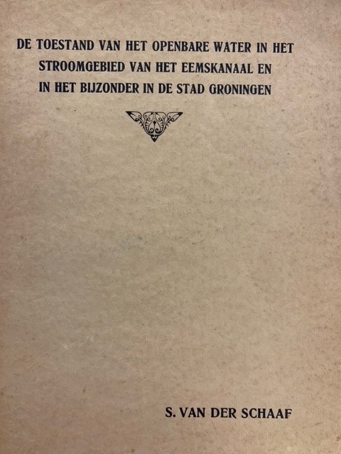
De toestand van het openbare water in het stroomgebied van het Eemskanaal en in het bijzonder in de stad Groningen
SCHAAF, S VAN DER, · 1932
€69.00 ($75.88 | £57.55 | ¥12,099)
Groningen, M. de Waal, 1932, (12)+117pp. many fold outr charts, some age staining and soiling, original softcover binding. Dissertation.
Van Groningen tot Zeeland / geschiedenis van het cultuurhistorisch onderzoek naar het kustlandschap
BORGER, G.J./ BREUKER, P.. / JONG, H. DE, · 2010
€28.75 ($31.62 | £23.98 | ¥5,041)
Hilversum, Verloren, 2010, 17 x 24 cm softcover, 164 pp, illustrated.

Waterschappen in Nederland. Een bestuurskundige verkenning van de institutionele ontwikkeling.
RAADSCHELDERS, J.C.N., TOONEN, T.A.J., · 1993
€57.50 ($63.23 | £47.96 | ¥10,082)
Hilversum, Verloren, 1993, x,198pp. original softcover binding. Scarce.
Societeit van JMJ (Jezus, Maria en Jozef) in 1962.
1962
€28.75 ($31.62 | £23.98 | ¥5,041)
1962, list of all staff and poeple connected to this catholic order in the Netherlands. 107pp. original softcover binding.
Beschrijving van de provincie Noord Holland. Behorende bij de waterstaatskaart. 1950.
1950
€34.50 ($37.94 | £28.78 | ¥6,049)
's-Gravenhage, Staatsdrukkerij, 1950, xvi,385pp. with 4 original maps and one map (V) in photocopy.
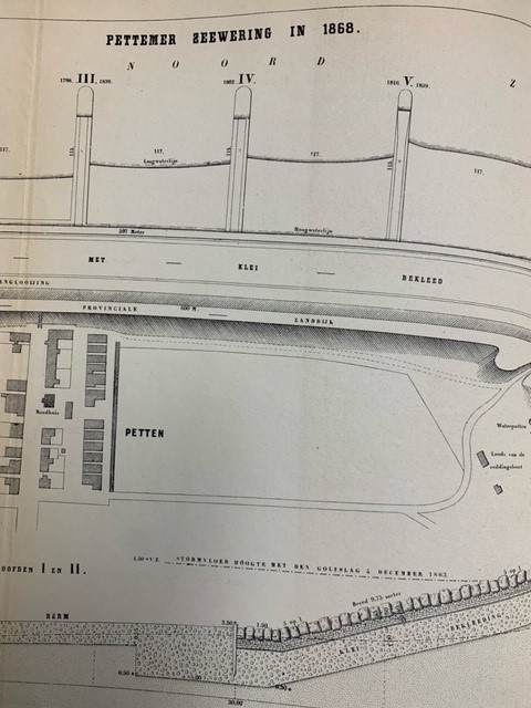
De Pettemer zeewering.
CONRAD, J.F.W., · 1870
€103.50 ($113.82 | £86.33 | ¥18,148)
Middelburg, 1870, (offprint Tijdschrift Koninklijk Instituut van Ingenieurs, 1869-1870), 14pp. with large fold out lithograph map \"Pettemer Zeewering 1868\" plaat 26, minor age staining to plate, text clean, half linen binding, marbled boards, bookplate of Prof. G.P. van de Ven.
Inventaris van het archief van het Hoogheemraadschap van de Hondsbossche en Duinen tot Petten
ATEN, D., · 1997
€28.75 ($31.62 | £23.98 | ¥5,041)
Edam/Alkmaar: Hoogheemraadschap van Uitwaterende Sluizen in Hollands Noorderkwartier i.s.m. het Regionaal Archief Alkmaar, 1997; 4to (29.5cm), 91pp., original softcover binding, good state.
Oude kaarten en de geschiedenis van de kop van Noord-Holland. Verhandelingen der Koninklijke Nederlandse Akademie van Wetenschappen, Afd. Natuurkunde
WESTENBERG, J., · 1961
€40.25 ($44.26 | £33.57 | ¥7,058)
Amsterdam, Noord-Hollandsche Uitgevers Maatschappij, 1961, 68pp. and further plates, original softcover illustrated binding, some wear and tear. Bookplate of Prof. G.P. van de Ven.
De vergeten watersnood, tuindorp oostzaan overstroomd, januari 1960
ROOS, J. DE, · 2011
€34.50 ($37.94 | £28.78 | ¥6,049)
Vrienden van de Hondsbossche, 2011, 88pp richly illustrated. original softcover binding.
Ooibossen. Bosecosystemen van Nederland 2
WOLF, R.J.A.M., [ED.], · 2001
€34.50 ($37.94 | £28.78 | ¥6,049)
(Utr.), KNNV Uitgeverij, (2001), 5x21 cm. 200pp. hardcover illustrated binding, bookplate of Prof. G.P. van de Ven.
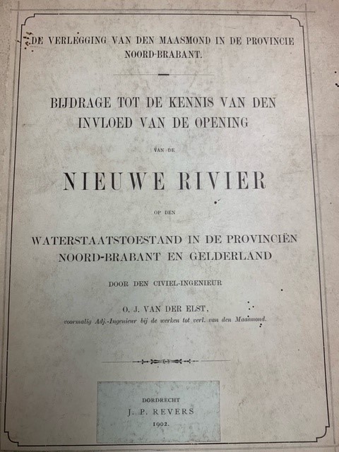
De Verlegging van den Maasmond in de Provincie Noord-Brabant. Bijdrage tot de Kennis van den Invloed van de Opening van de Nieuwe Rivier op den Waterstaatstoestand in de Provinciën Noord-Brabant en Gelderland
ELST, G.J. VAN DER, · 1902
€57.50 ($63.23 | £47.96 | ¥10,082)
Dordrecht. J.P. Revers, 1902, 153pp. later half linen hardback binding, library stamps on flyleaf and titlepage, bookplate of Prof. G.P. van de Ven. many charts and fold out charts, two fold out chromelithograph maps, from library of Aloysius-college Den Haag. Very good and cl...
Geschiedkundige atlas van Nederland. De marken van Drente, Groningen, Overijsel en Gelderland. Eerste aflevering I. De Drentsche Marken en II. De Groningsche Marken, Marken in Gelderland, Marken in Overijssel, Marken in Utrecht.Tekst bij kaart 6.
JONGE VAN ELLEMEET, B.M. / JOOSTING, J.G.C., · 1920
€287.50 ($316.16 | £239.79 | ¥50,412)
Den Haag, Martinus Nijhoff, 1920-1925, 156+183+128pp. linen tooled binding, lettering on front and spine. complete set of the texts concerning the mentioned provinces. Good state. Several authors.
Book auction sale. 7 and 8 September 1976 Cartography, hydraulic engineering, topography etc.
BEIJERS, J.L., · 1976
€34.50 ($37.94 | £28.78 | ¥6,049)
Utrecht, J.L. Beijers, 1976, 1216nrs, with list of prices reached, original softcover binding. Auction catalogue.

Coat of arms of Kardinaal Dr. J. de Jong, Kardinaal-Aartsbisschop van Utrecht 1946.
0
€28.75 ($31.62 | £23.98 | ¥5,041)
20x21cm printed on transparent plastic carrier, possibly used for printing purposes.
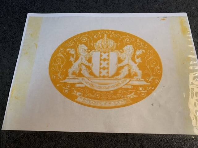
Coat of arms of the city of Amsterdam 1946
0
€28.75 ($31.62 | £23.98 | ¥5,041)
20x29cm printed on transparent plastic carrier, possibly used for printing purposes.

Topographical map of The Netherlands, topografische kaart van Nederland. Military map of the Netherlands. Bonnebladen.
1919
€40.25 ($44.26 | £33.57 | ¥7,058)
One page printed chromo topographical map paper on linen, 50x80cm. a so called bonneblad, based on the projection of Bonne. Attractive topographical maps in colour. scale 1:50000. The following maps are present: Heerlen 1919/1930; Oost Tiel 39 Oost 1977; Gennep 46 west 1978; G...

Topographical map of The Netherlands, topografische kaart van Nederland. Military map of the Netherlands. Bonnebladen.
1953
€40.25 ($44.26 | £33.57 | ¥7,058)
One page printed chromo topographical map paper on linen, 50x80cm. a so called bonneblad, based on the projection of Bonne. Attractive topographical maps in colour. scale 1:25000. The following maps are present: Oosterbeek 40A: 1953-1957; Biesbosch 44B 1956; Oosterhout 44D 195...