
Bailgate Books Ltd
Libri
8001 libri di Bailgate Books Ltd

Nautical Chart No. 2265 Japan, Seto Naikai, Kobe including Nishinomiya
Admiralty · 2004
£28.00 (€33.57 | $36.92 | ¥5,886)
Admiralty, 2004. Revised Edition, Softcover. Very Good Condition/No Dust Jacket. Crisp and clean colour chart with two vertical folds. Very slight creasing to edges and vertically down centre of sheet. Nautical Chart No. 2265 Japan, Seto Naikai, Kobe including Nishinomiya. Cop...
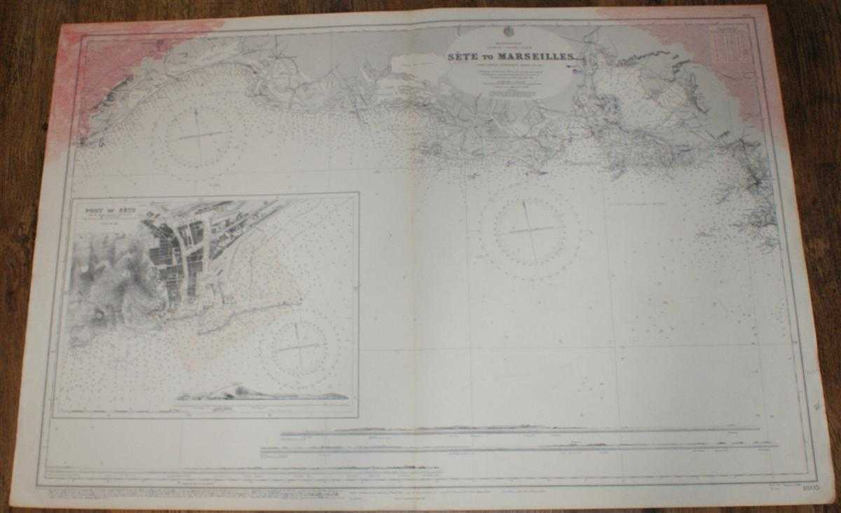
Nautical Chart No. 1805 Mediterranean, France - South Coast, Sete to Marseille
Admiralty · 1962
£24.00 (€28.77 | $31.64 | ¥5,046)
Admiralty, 1962. Revised Edition, Softcover. Good Condition/No Dust Jacket. Black and white chart with single vertical fold. Edges are worn and a little darkened. Some annotation. Top left and right hand corners of sheet are marked with red stained patches which extend into ma...
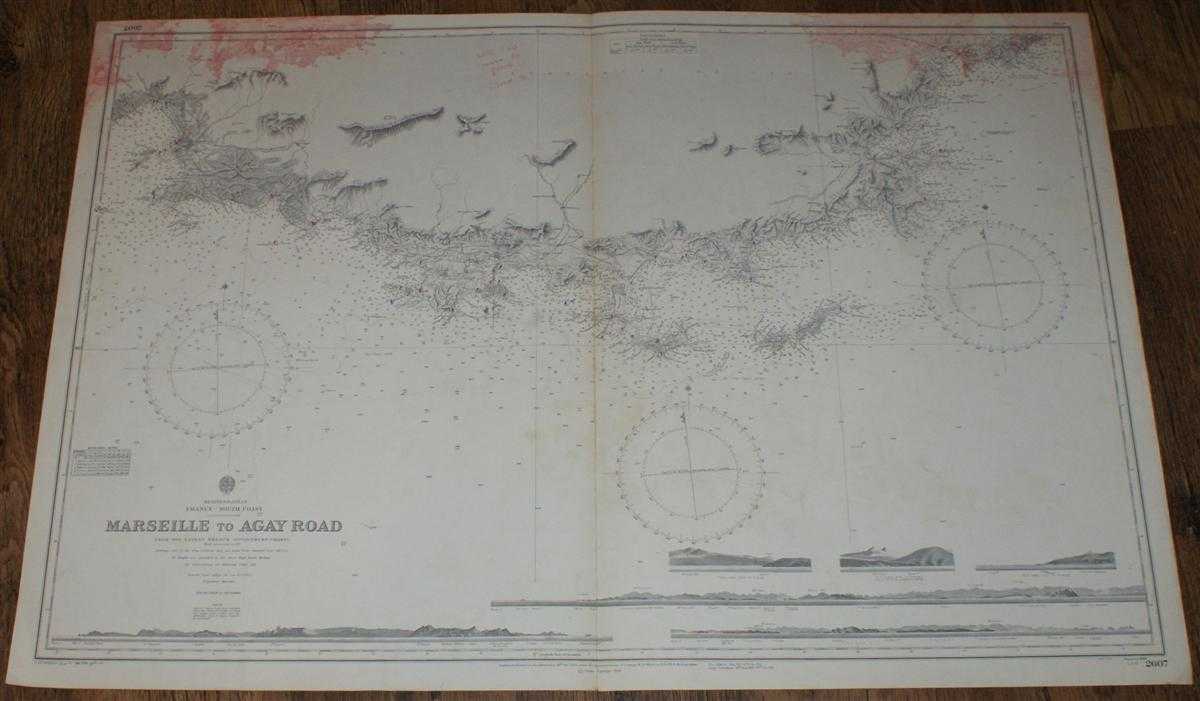
Nautical Chart No. 2607 Mediterranean, France - South Coast, Marseille to Agay Road
Admiralty · 1959
£24.00 (€28.77 | $31.64 | ¥5,046)
Admiralty, 1959. Revised Edition, Softcover. Good Condition/No Dust Jacket. Black and white chart is a little marked and discoloured. Some annotation. Top of sheet is marked with red stained patches. Staining is more extensive on reverse but does extend into mapped area. Singl...

Nautical Chart Lake Michigan No. L.S.73 Algoma to 18 miles south of Sheboygan, Wisconsin, Scale 1:20,000
U.S Army, Corps of Engineers · 1966
£24.00 (€28.77 | $31.64 | ¥5,046)
U.S. Army Engineer District Corps of Engineers, 1966. Revised Edition, Softcover. Good Condition/No Dust Jacket. Colour chart with both vertical and horizontal centre folds. Sheet is slightly creased, particularly down the right hand side. Edges are a little worn and a small p...
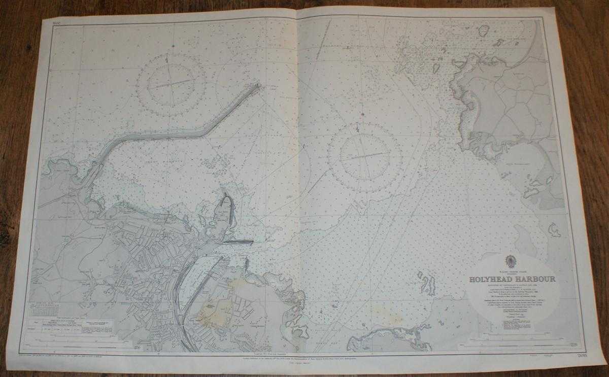
Nautical Chart No. 2011 Wales - North Coast, Holyhead Harbour
Admiralty · 1971
£24.00 (€28.77 | $31.64 | ¥5,046)
Map Admiralty, London, 1971. Revised Edition, Softcover. Very Good Condition/No Dust Jacket. Coloured chart is lightly stained in the bottom central portion of the sheet. Single vertical fold. Edges are worn and slightly creased. Nautical Chart No. 2011 Wales - North Coast, Ho...
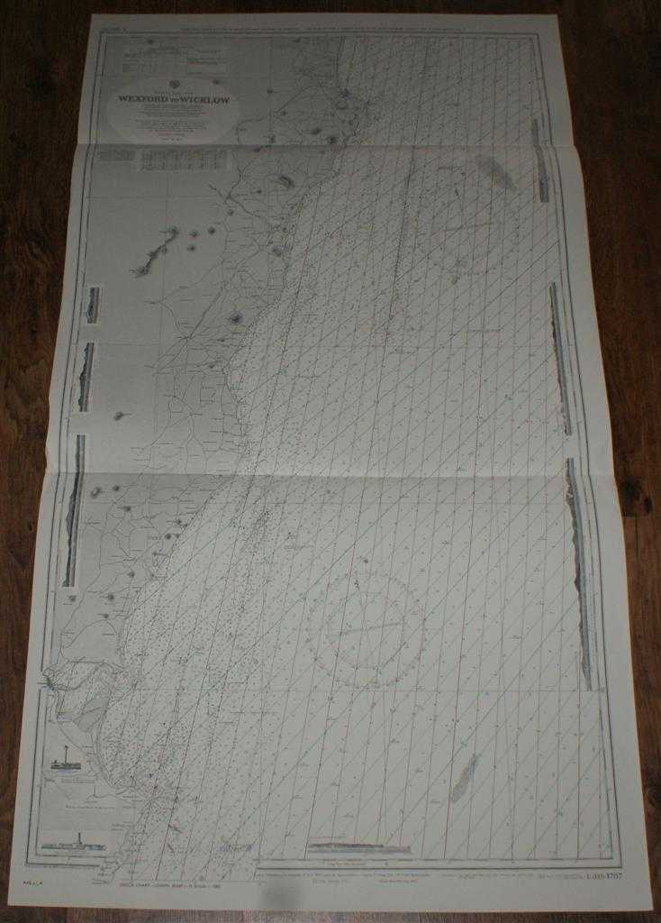
Nautical Chart No. L(D3)1787 Ireland - East Coast, Wexford to Wicklow
Admiralty · 1974
£25.00 (€29.97 | $32.96 | ¥5,256)
Map Admiralty, 1974. Revised Edition, Softcover. Very Good Condition/No Dust Jacket. Clean black and white chart with coloured AB and AC Decca lines. Two horizontal folds. Slight creasing to both vertical edges. Nautical Chart No. L(D3)1787 Ireland - East Coast, Wexford to Wic...
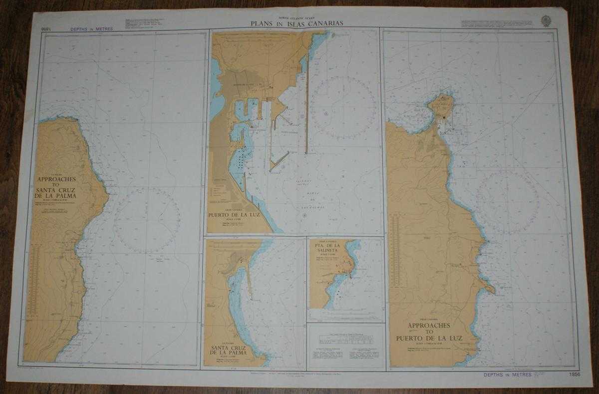
Nautical Chart No. 1856 North Atlantic Ocean - Plans in Islas Canarias
Admiralty · 1986
£24.00 (€28.77 | $31.64 | ¥5,046)
Map Admiralty, 1986. Revised Edition, Softcover. Good Condition/No Dust Jacket. Colour chart is very lightly marked. Single vertical fold with some creasing at the top of the fold. Edges and top corners are slightly worn. Nautical Chart No. 1856 North Atlantic Ocean - Plans in...
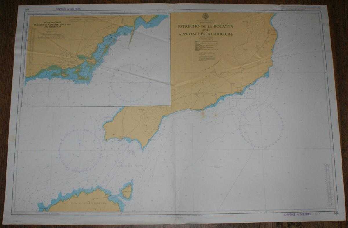
Nautical Chart No. 886 Islas Canarias - Estrecho de la Bocayna and Approaches to Arrecife
Admiralty · 1985
£22.00 (€26.38 | $29.01 | ¥4,625)
Map Admiralty, 1985. Revised Edition, Softcover. Fair Condition/No Dust Jacket. Colour chart with vertical centre fold. Sheet is slightly marked and has some light pencil annotation. Edges are a little worn. Sheet is markedly creased in the upper half and along the centre fold...
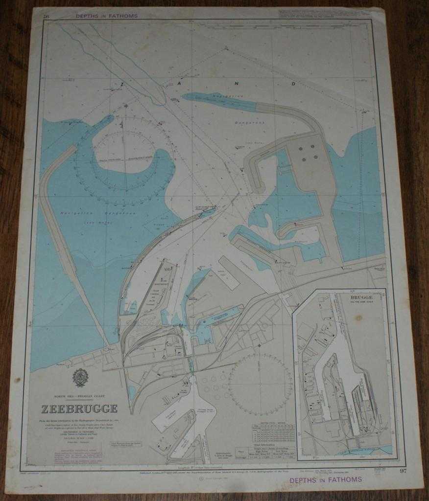
Nautical Chart No. 97 North Sea - Belgian Coast, Zeebrugge
Admiralty · 1985
£21.00 (€25.18 | $27.69 | ¥4,415)
Map Admiralty, 1985. Revised Edition, Softcover. Fair Condition/No Dust Jacket. Colour chart with no formal fold. Sheet is lightly marked and stained, particularly around the edges. Edges and corners are worn and slightly creased. Nautical Chart No. 97 North Sea - Belgian Coas...
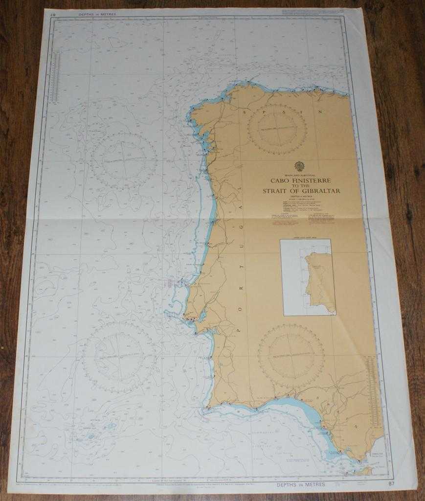
Nautical Chart No. 87 Spain and Portugal - Cabo Finisterre to the Strait of Gibraltar
Admiralty · 1986
£24.00 (€28.77 | $31.64 | ¥5,046)
Map Admiralty, 1986. Revised Edition, Softcover. Good Condition/No Dust Jacket. Colour chart with single horizontal fold. Edges are lightly rubbed and marked. Sheet has some diagonal creasing. Nautical Chart No. 87 Spain and Portugal - Cabo Finisterre to the Strait of Gibralta...
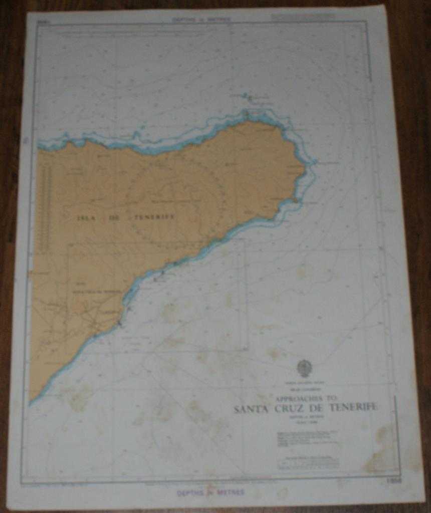
Nautical Chart No. 1858 North Atlantic Ocean - Islas Canarias, Approaches to Santa Cruz de Tenerife
Admiralty · 1985
£16.00 (€19.18 | $21.10 | ¥3,364)
Map Admiralty, 1985. Revised Edition, Softcover. Fair Condition/No Dust Jacket. Colour chart with no formal fold. Sheet is marked and stained with some light creasing. Edges are a little rubbed and worn. Nautical Chart No. 1858 North Atlantic Ocean - Islas Canarias, Approaches...
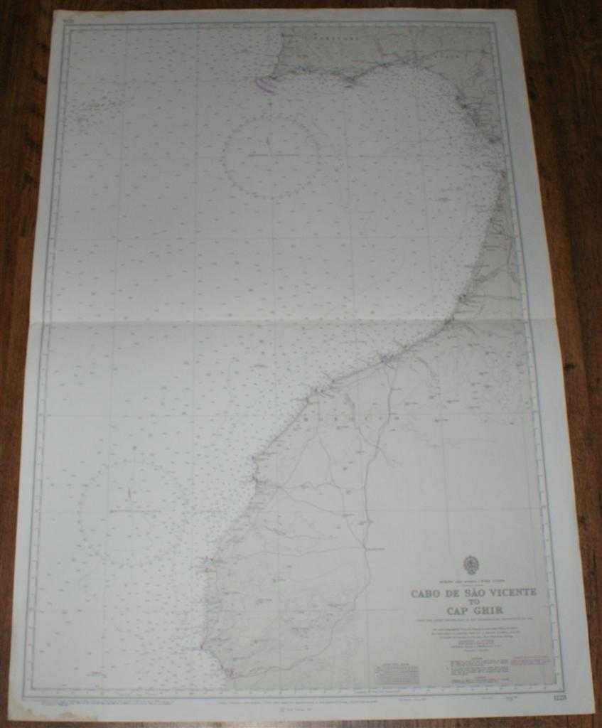
Nautical Chart No. 1228 Europe and Africa - West Coasts, Cabo de Sao Vicente to Cap Ghir
Admiralty · 1986
£24.00 (€28.77 | $31.64 | ¥5,046)
Map Admiralty, 1986. Revised Edition, Softcover. Good Condition/No Dust Jacket. Black and white chart with single horizontal fold. Edges are slightly worn and stained, staining does not extend into mapped area. Nautical Chart No. 1228 Europe and Africa - West Coasts, Cabo de S...
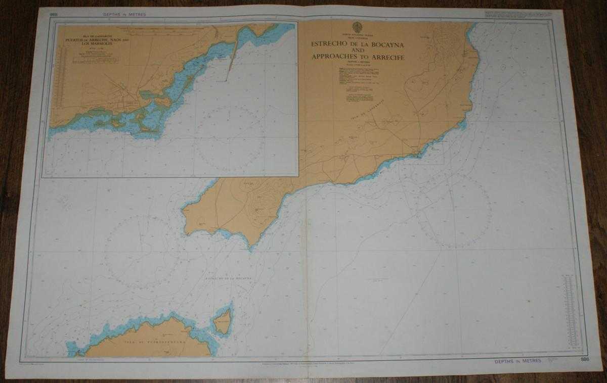
Nautical Chart No. 886 North Atlantic Ocean - Islas Canarias, Estrecho de la Bocayna and Approaches to Arrecife
Admiralty · 1986
£24.00 (€28.77 | $31.64 | ¥5,046)
Map Admiralty, 1986. Revised Edition, Softcover. Good Condition/No Dust Jacket. Coloured chart is very lightly marked with some light wear and darkening to the edges. Single vertical fold is a little worn with faint staining on the lower half of the fold. Nautical Chart No. 88...
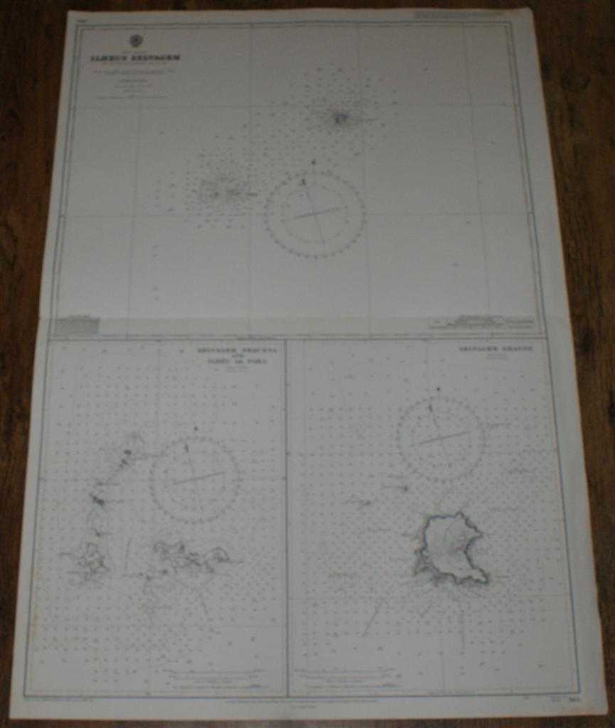
Nautical Chart No. 365 North Atlantic - Ilheus Selvagem (Savage or Salvage Islands)
Admiralty · 1981
£24.00 (€28.77 | $31.64 | ¥5,046)
Map Admiralty, 1981. Revised Edition, Softcover. Good Condition/No Dust Jacket. Black and white chart. Sheet is very lightly marked and has some darkening and wear on the edges. Single horizontal fold is a little worn. Other light creasing. Nautical Chart No. 365 North Atlanti...
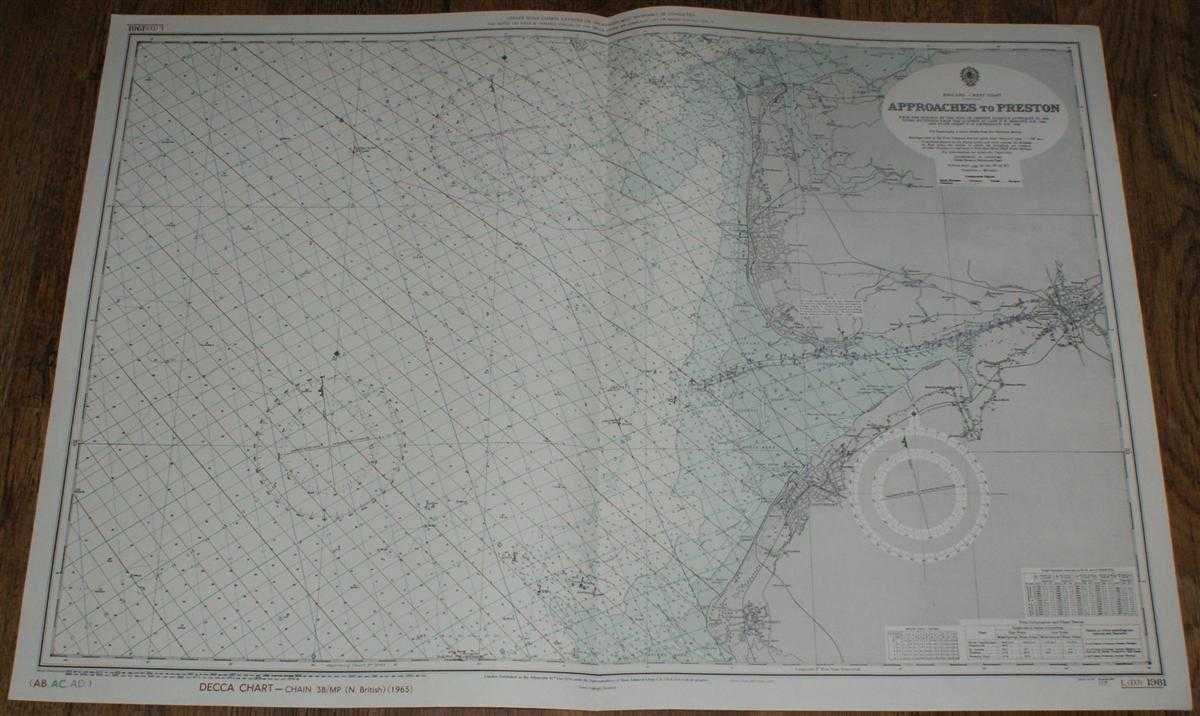
Nautical Chart No. L(D3)1981 England - West Coast, Approaches to Preston
Admiralty · 1974
£25.00 (€29.97 | $32.96 | ¥5,256)
Map Admiralty, 1974. Revised Edition, Softcover. Very Good Condition/No Dust Jacket. Clean and crisp colour chart with AB, AC and AD Decca lines. Single vertical fold. Nautical Chart No. L(D3)1981 England - West Coast, Approaches to Preston. From surveys to 1950 with small cor...
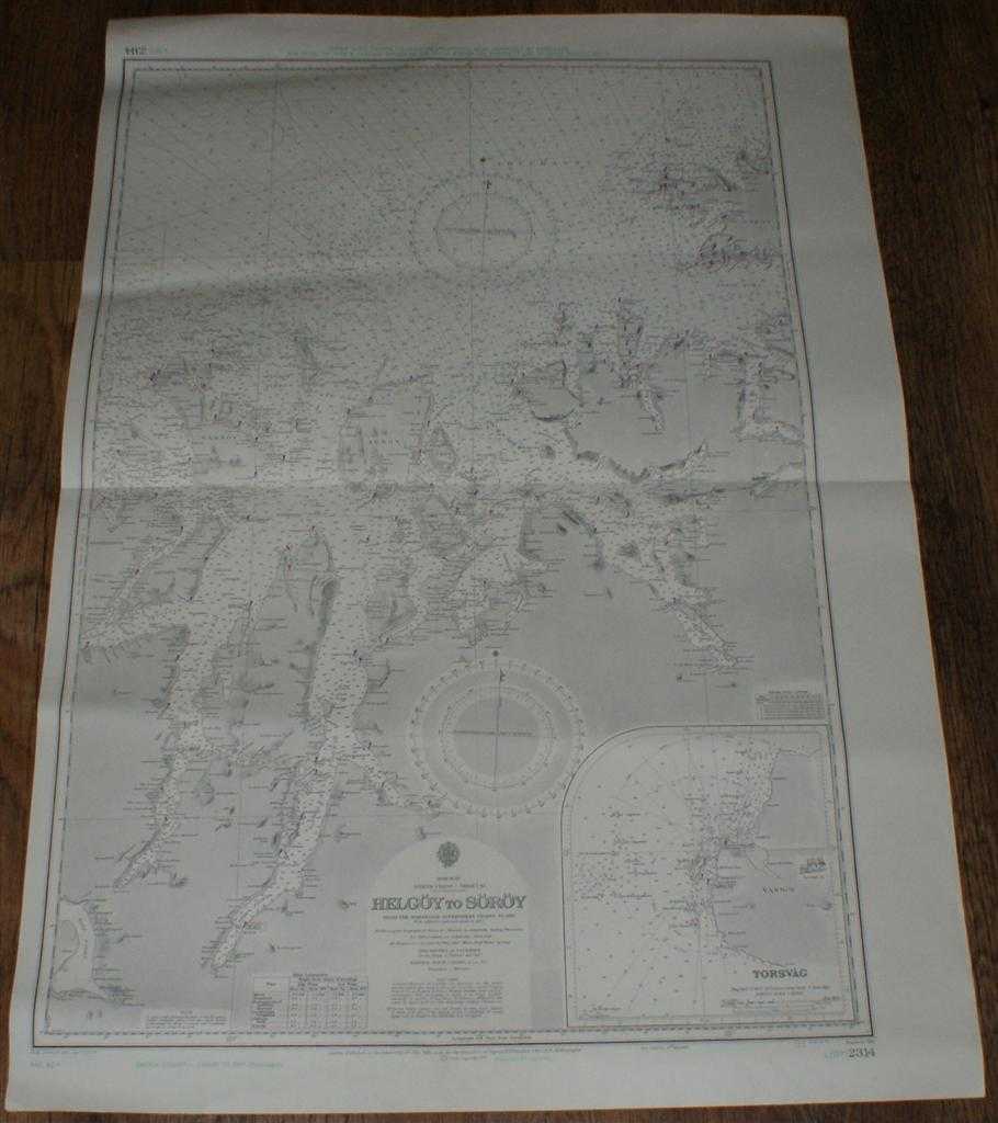
Nautical Chart No. L(D7)2314 Norway - Helgoy to Soroy
Admiralty · 1973
£25.00 (€29.97 | $32.96 | ¥5,256)
Map Admiralty, 1973. Revised Edition, Softcover. Very Good Condition/No Dust Jacket. Clean black and white chart with coloured AC and AD Decca lines. Single horizontal fold with a further slightly less defined vertical fold. Other slight creasing with some light wear to edges....
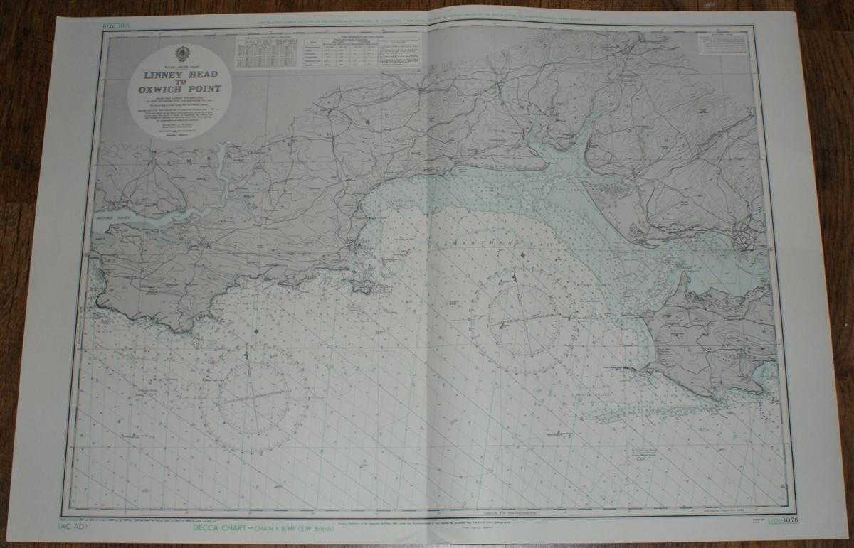
Nautical Chart No. L(D1)1076 Wales - South Coast, Linney Head to Oxwich Point
Admiralty · 1973
£25.00 (€29.97 | $32.96 | ¥5,256)
Map Admiralty, 1973. Revised Edition, Softcover. Very Good Condition/No Dust Jacket. Clean and crisp coloured chart with AC and AD Decca lines. Single vertical fold. Nautical Chart No. L(D1)1076 Wales - South Coast, Linney Head to Oxwich Point. Small corrections to 1973. Area ...
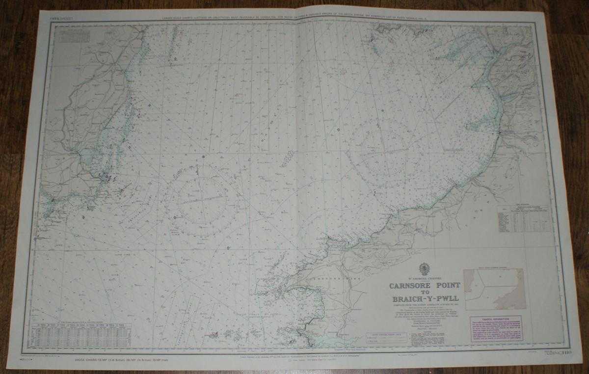
Nautical Chart No. L(D)(MC)1410 St. Georges Channel - Carnsore Point to Braich-Y-Pwll
Admiralty · 1974
£25.00 (€29.97 | $32.96 | ¥5,256)
Map Admiralty, 1974. Revised Edition, Softcover. Very Good Condition/No Dust Jacket. Clean and crisp coloured chart with AB, AC and AD Decca lines. Single vertical fold with slight associated and other vertical creasing. Some minor pencil annotation in upper right portion of c...
Nautical Chart Nr. 104, Limfjorden, Aalborg - Thyboron. Scale 1:130,000. New Edition 1965, Corrected to 1973
Royal Danish Hydrographic Office · 1974
£30.00 (€35.97 | $39.55 | ¥6,307)
Map Royal Danish Hydrographic Office, Copenhagen, Kopenhavn, 1974. Revised Edition, Softcover. Very Good Condition/No Dust Jacket. Crisp clean colour chart, three vertical folds, lightly marked and light crumples, pencil annotations, one note on Thyboron Kanal inset in ink . N...
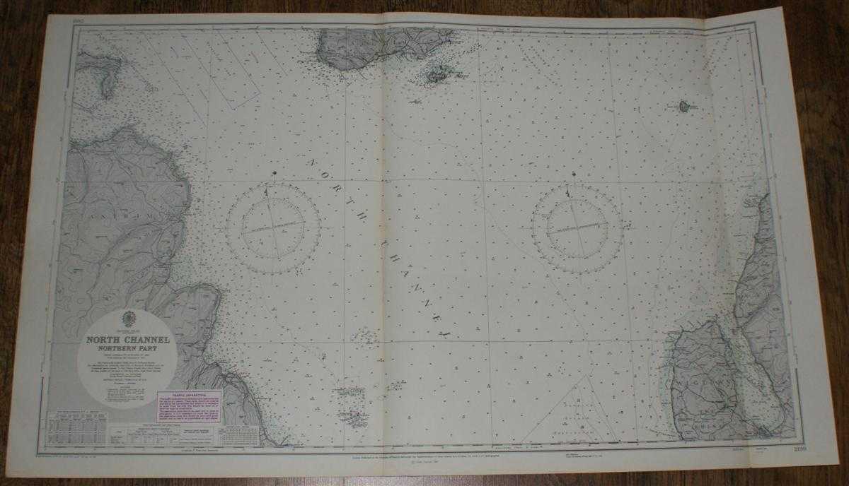
Nautical Chart No. 2199: British Isles - North Channel, Northern Part. From Admiralty surveys to 1964. Additions and corrections to 1965. Scale 1:75,000.
Admiralty · 1973
£24.00 (€28.77 | $31.64 | ¥5,046)
Map Admiralty, London, 1973. Revised Edition, Softcover. Very Good Condition/No Dust Jacket. Nautical Chart No. 2199: British Isles - North Channel, Northern Part. From Admiralty surveys to 1964. Additions and corrections to 1965. Large corrections to 1968. Small Corrections t...