
Bailgate Books Ltd
Libri
495 libri di Bailgate Books Ltd
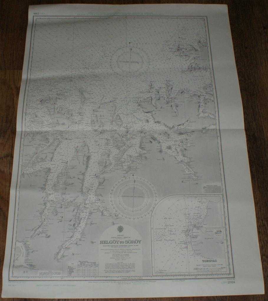
Nautical Chart No. L(D7)2314 Norway - Helgoy to Soroy
Admiralty · 1973
£25.00 (€29.97 | $32.96 | ¥5,256)
Map Admiralty, 1973. Revised Edition, Softcover. Very Good Condition/No Dust Jacket. Clean black and white chart with coloured AC and AD Decca lines. Single horizontal fold with a further slightly less defined vertical fold. Other slight creasing with some light wear to edges....
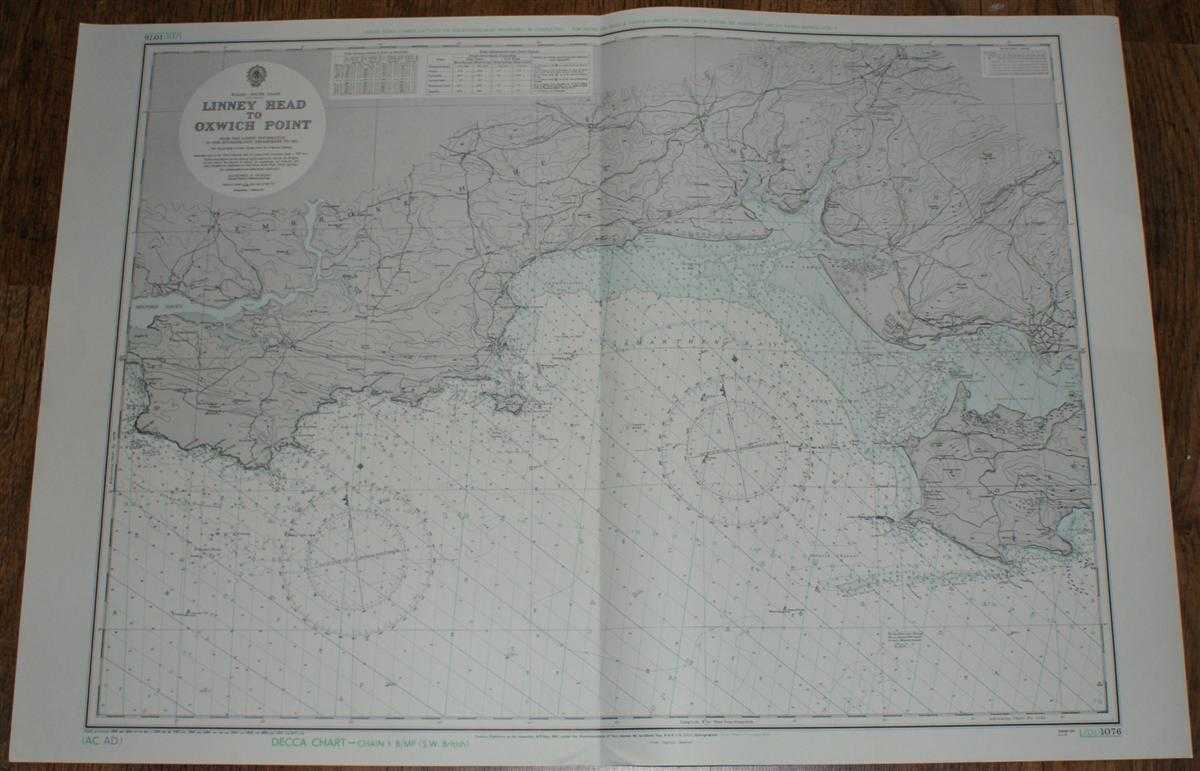
Nautical Chart No. L(D1)1076 Wales - South Coast, Linney Head to Oxwich Point
Admiralty · 1973
£25.00 (€29.97 | $32.96 | ¥5,256)
Map Admiralty, 1973. Revised Edition, Softcover. Very Good Condition/No Dust Jacket. Clean and crisp coloured chart with AC and AD Decca lines. Single vertical fold. Nautical Chart No. L(D1)1076 Wales - South Coast, Linney Head to Oxwich Point. Small corrections to 1973. Area ...
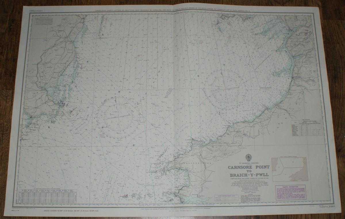
Nautical Chart No. L(D)(MC)1410 St. Georges Channel - Carnsore Point to Braich-Y-Pwll
Admiralty · 1974
£25.00 (€29.97 | $32.96 | ¥5,256)
Map Admiralty, 1974. Revised Edition, Softcover. Very Good Condition/No Dust Jacket. Clean and crisp coloured chart with AB, AC and AD Decca lines. Single vertical fold with slight associated and other vertical creasing. Some minor pencil annotation in upper right portion of c...

Nautical Chart Nr. 104, Limfjorden, Aalborg - Thyboron. Scale 1:130,000. New Edition 1965, Corrected to 1973
Royal Danish Hydrographic Office · 1974
£30.00 (€35.97 | $39.55 | ¥6,307)
Map Royal Danish Hydrographic Office, Copenhagen, Kopenhavn, 1974. Revised Edition, Softcover. Very Good Condition/No Dust Jacket. Crisp clean colour chart, three vertical folds, lightly marked and light crumples, pencil annotations, one note on Thyboron Kanal inset in ink . N...
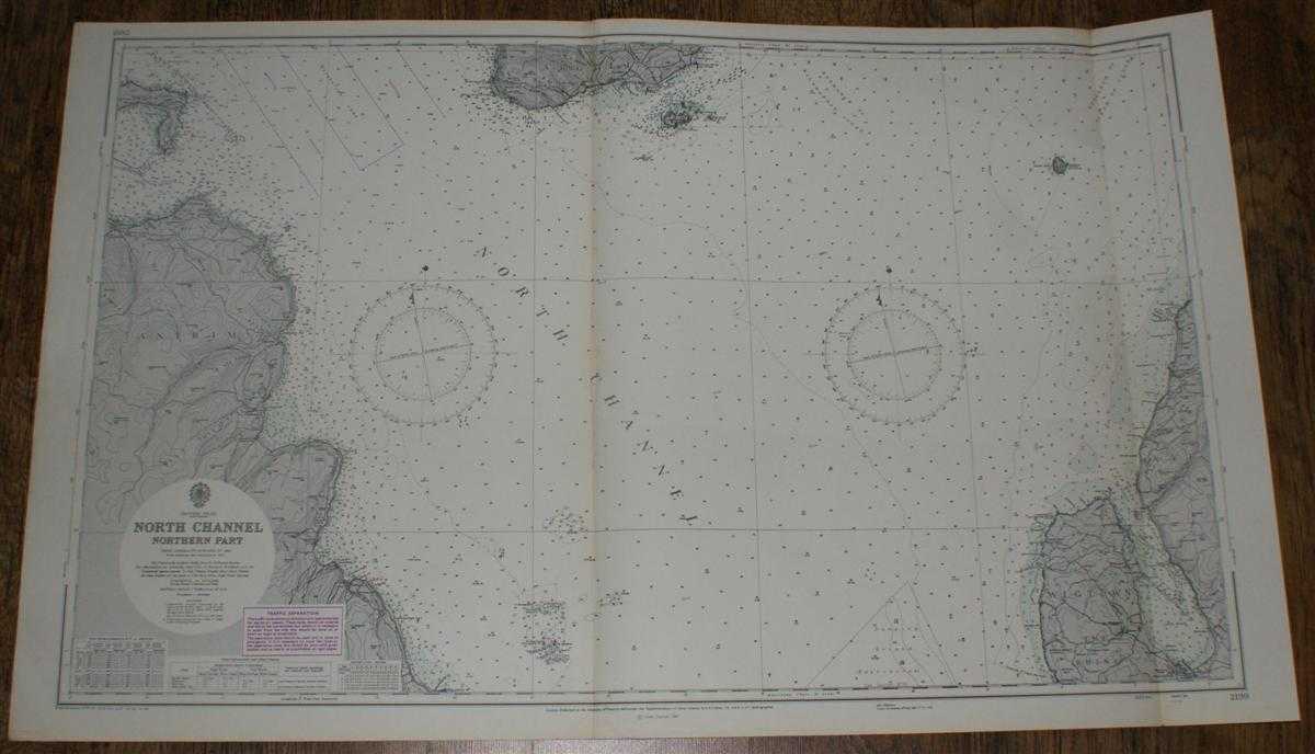
Nautical Chart No. 2199: British Isles - North Channel, Northern Part. From Admiralty surveys to 1964. Additions and corrections to 1965. Scale 1:75,000.
Admiralty · 1973
£24.00 (€28.77 | $31.64 | ¥5,046)
Map Admiralty, London, 1973. Revised Edition, Softcover. Very Good Condition/No Dust Jacket. Nautical Chart No. 2199: British Isles - North Channel, Northern Part. From Admiralty surveys to 1964. Additions and corrections to 1965. Large corrections to 1968. Small Corrections t...
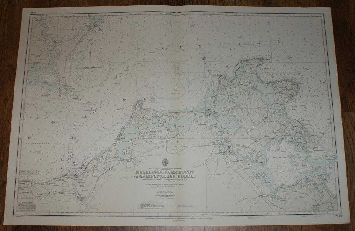
Nautical Chart No. 2365, Baltic Sea - Germany and Denmark. Mecklenburger Bucht to Greifswalder Bodden from Danish and German Government Charts to 1950 with additions to 1970
Admiralty · 1973
£24.00 (€28.77 | $31.64 | ¥5,046)
Map Admiralty, 1973. Revised Edition, Softcover. Very Good Condition/No Dust Jacket. Crisp clean black and white chart with horizontal and vertical folds. Two small inked stamps on reverse. Some annotations in pencil. Nautical Chart No. 2365, Baltic Sea - Germany and Denmark. ...

Nautical Chart No. 3194, Denmark, Kobenhavns, From the Danish Government Chart of 1958: Entrance to the Baltic - The Sound, Kobens Havn, Malmo and Limhamn, Scale 1:12,500
Admiralty · 1972
£24.00 (€28.77 | $31.64 | ¥5,046)
Map Admiralty, 1972. Revised Edition, Softcover. Very Good Condition/No Dust Jacket. Crisp clean colour chart with double vertical folds. Two small inked stamps on reverse. Some annotations in pencil. Nautical Chart No. 3194, Denmark, Kobenhavns, From the Danish Government Cha...
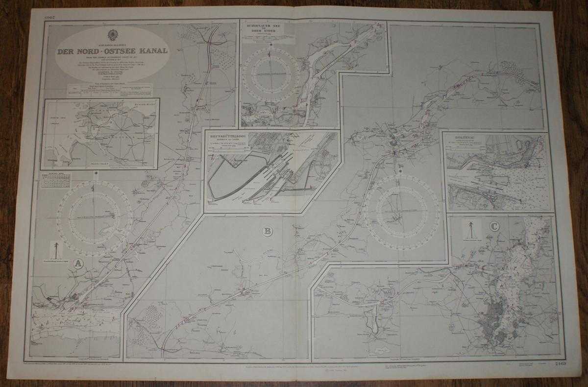
Nautical Chart No. 2469, Schleswig-Hostein, Der Nord - Ostee Kanal, various scales
Admiralty · 1972
£24.00 (€28.77 | $31.64 | ¥5,046)
Map Admiralty, London, 1972. Revised Edition, Softcover. Very Good Condition/No Dust Jacket. Crisp clean black and white chart with single vertical fold. Small inked stamp on reverse. Nautical Chart No. 2469, Schleswig-Hostein, Der Nord - Ostee Kanal, various scales. From the ...
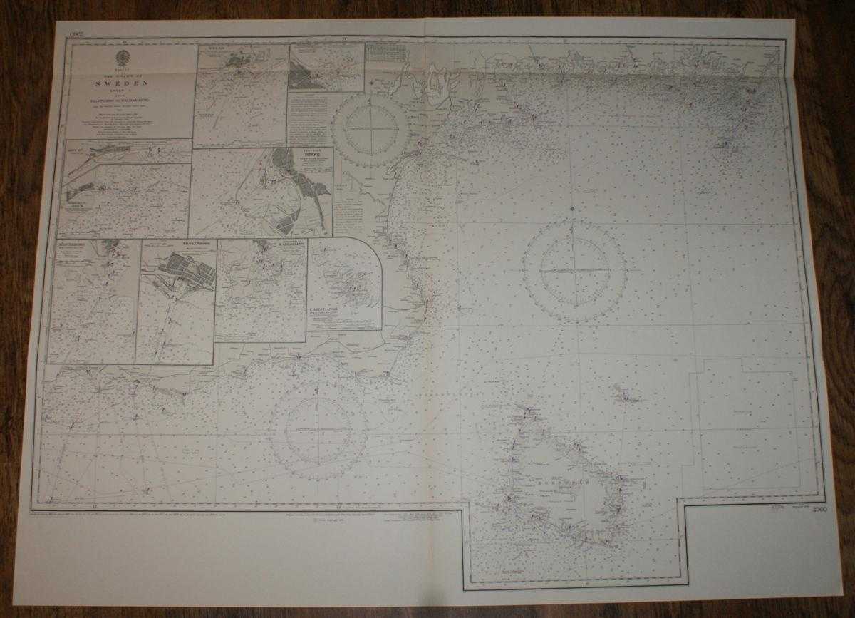
Nautical Chart No. 2360, Baltic, The Coast of Sweden, Sheet I, From Falsterbo to Kalmar Sund, Scale 1:205,000 main plan plus various others
Admiralty · 1973
£24.00 (€28.77 | $31.64 | ¥5,046)
Map Admiralty, London, 1973. Revised Edition, Softcover. Very Good Condition/No Dust Jacket. Crisp clean black and white chart with single vertical fold. Small inked stamp on reverse. Nautical Chart No. 2360, Baltic, The Coast of Sweden, Sheet I, From Falsterbo to Kalmar Sund,...
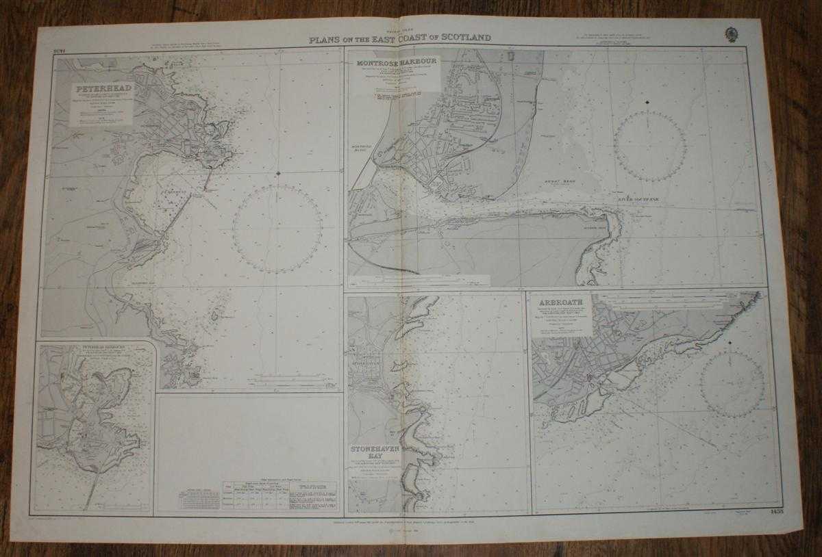
Nautical Chart No. 1438, British Isles, Plans on the East Coast of Scotland: Peterhead, Peterhead Harbours, Montrose, Arbroath, Stonehaven Bay. Various Scales
Admiralty · 1974
£24.00 (€28.77 | $31.64 | ¥5,046)
Map Admiralty, London, 1974. Revised Edition, Softcover. Very Good Condition/No Dust Jacket. Crisp clean coloured chart. with five distinct plans and single vertical fold. Lower edge is lightly worn with a short marginal crease across lower right corner. Small inked stamp on r...
Nautical Chart No. 696. Baltic Sea, Germany, Kieler Hafen. Scale 1:12,500
Admiralty · 1973
£24.00 (€28.77 | $31.64 | ¥5,046)
Map Admiralty, London, 1973. Revised Edition, Softcover. Very Good Condition/No Dust Jacket. Crisp clean coloured chart. Small inked stamp on reverse. Single horizontal fold. Bearings added in pencil. Nautical Chart No. 696. Baltic Sea, Germany, Kieler Hafen. Scale 1:12,500. C...
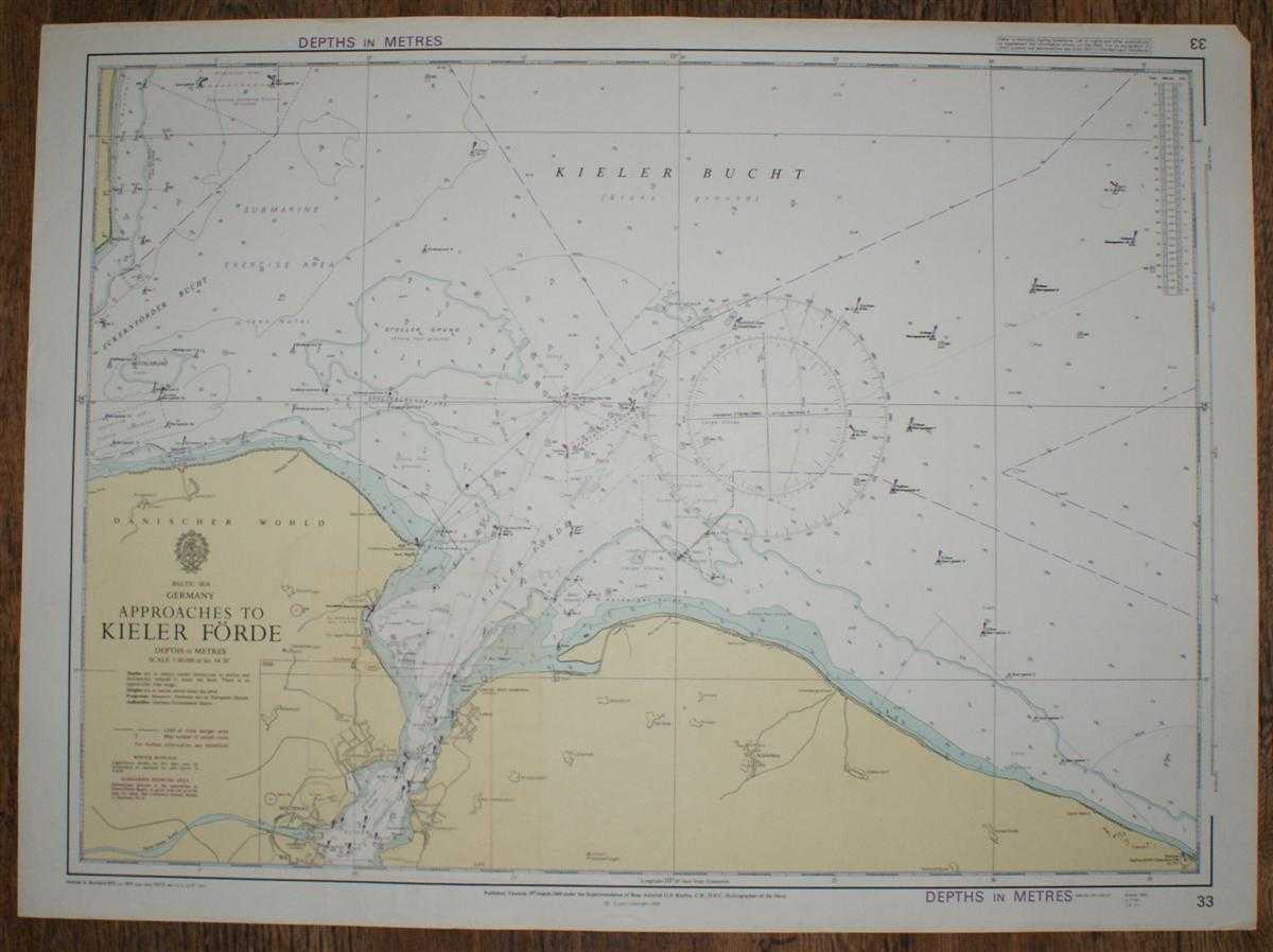
Nautical Chart No. 33. Baltic Sea, Germany, Approaches to Kieler Forde. Scale 1:60,000
Admiralty · 1973
£24.00 (€28.77 | $31.64 | ¥5,046)
Map Admiralty, London, 1973. Revised Edition, Softcover. Very Good Condition/No Dust Jacket. Crisp clean coloured chart. Small inked stamp on reverse. Some pencil bearings Nautical Chart No. No. 33. Baltic Sea, Germany, Approaches to Kieler Forde. Scale 1:60,000. 1969. Compile...
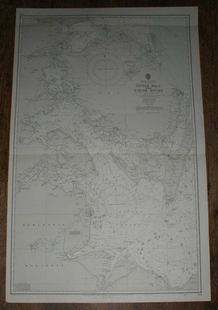
Nautical Chart No. 2116. Denmark and Germany. Entrance To The Baltic, Little Belt and Kieler Bucht. Scale 1:150,000
Admiralty · 1973
£24.00 (€28.77 | $31.64 | ¥5,046)
Map Admiralty, London, 1973. Revised Edition, Softcover. Very Good Condition/No Dust Jacket. Crisp clean coloured chart. Two horizontal folds, two small inked stamps on reverse. Nautical Chart No. 2116. Denmark and Germany. Entrance To The Baltic, Little Belt and Kieler Bucht....

Nautical Chart No. 2115. Entrance To The Baltic, The Sound. Scale 1:150,000
Admiralty · 1973
£24.00 (€28.77 | $31.64 | ¥5,046)
Map Admiralty, London, 1973. Revised Edition, Softcover. Very Good Condition/No Dust Jacket. Crisp clean coloured chart. Two horizontal folds, small inked stamp on reverse. Small marks in lower margin, mark adjacent to left margin in blank area, penciled bearings. Nautical Cha...
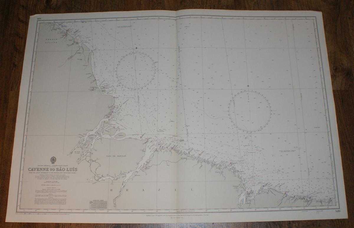
Nautical Chart No. 520. South America, North East Coast, Cayenne to Sao Luis. From the Latest Information in the Hydrographic Department to 1965 with small corrections to 1971. Scale 1:1,500,000
Admiralty · 1971
£24.00 (€28.77 | $31.64 | ¥5,046)
Map Admiralty, London, 1971. Revised Edition, Softcover. Very Good Condition/No Dust Jacket. Crisp clean black and white chart. Single vertical fold, lightly marked on reverse. Nautical Chart No. 520. South America, North East Coast, Cayenne to Sao Luis. From the Latest Inform...
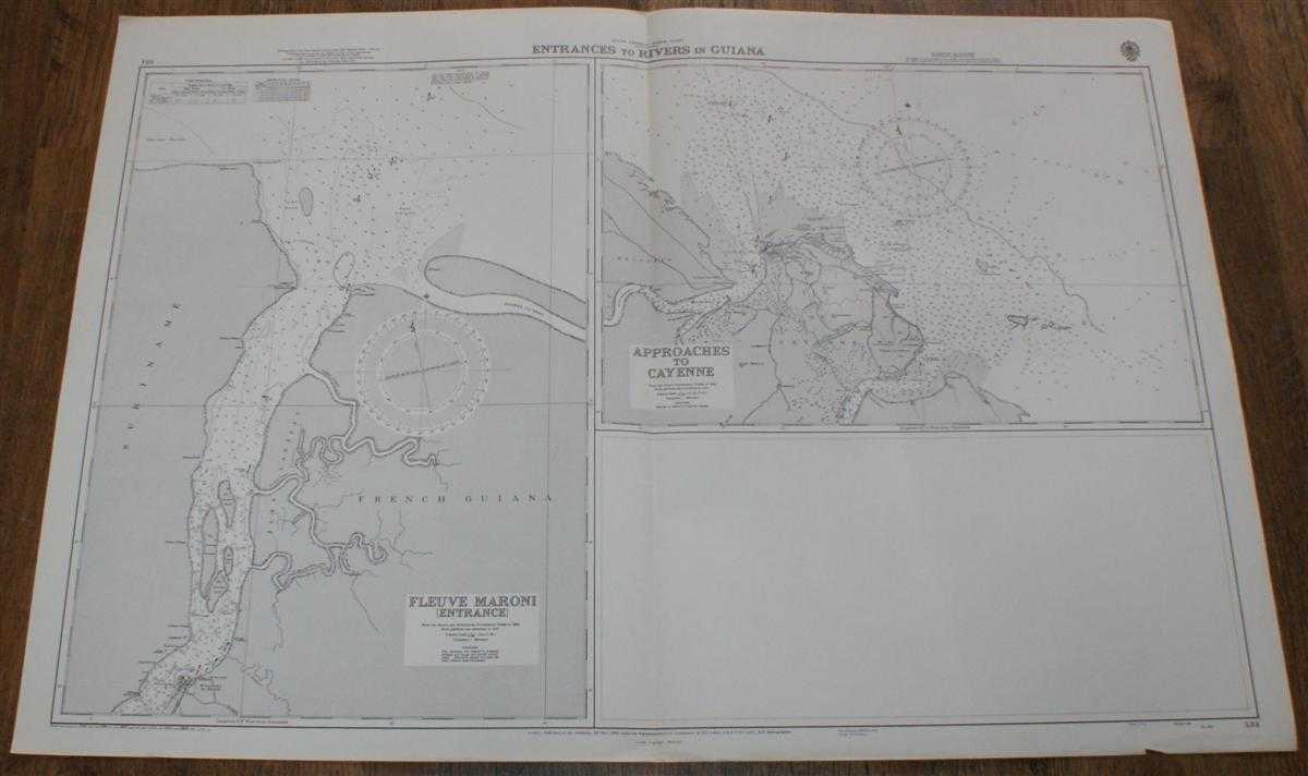
Nautical Chart No. 534. South America North Coast, Entrances to Rivers in Guiana. Fleuve Maroni (Entrance) From the French and Netherlands Government Charts to 1965. Approaches to Cayenne, from the French Government Chart of 1956, Scale 1:75,000
Admiralty · 1970
£24.00 (€28.77 | $31.64 | ¥5,046)
Map Admiralty, London, 1970. Revised Edition, Softcover. Very Good Condition/No Dust Jacket. Crisp clean black and white chart. Single vertical fold. Nautical Chart No. 534. South America North Coast, Entrances to Rivers in Guiana. Fleuve Maroni (Entrance) From the French and ...
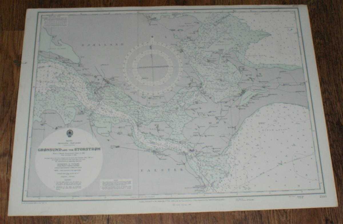
Nautical Chart No. 2138. Smaalands - Farvandet: Gronsund and the Storstrom. From a Danish Government Chart of 1924 with corrections to 1965. Small corrections to 1973. Scale 1:75,000
Admiralty · 1973
£24.00 (€28.77 | $31.64 | ¥5,046)
Map Admiralty, London, 1973. Revised Edition, Softcover. Very Good Condition/No Dust Jacket. Crisp clean coloured chart. Nautical Chart No. 2138. Smaalands - Farvandet: Gronsund and the Storstrom. From a Danish Government Chart of 1924 with corrections to 1965. Small correctio...

Nautical Chart No. 1145. Norway - West Coast: Vaagso to Skorpen. From The Norwegian Government Charts of 1875 with corrections 1966. Small corrections to 1974. Scale 1:51,000.
Admiralty · 1974
£24.00 (€28.77 | $31.64 | ¥5,046)
Map Admiralty, London, 1974. Revised Edition, Softcover. Very Good Condition/No Dust Jacket. Crisp clean black and white chart. One horizontal fold. Nautical Chart No. 1145. Norway - West Coast: Vaagso to Skorpen. From The Norwegian Government Charts of 1875 with corrections 1...
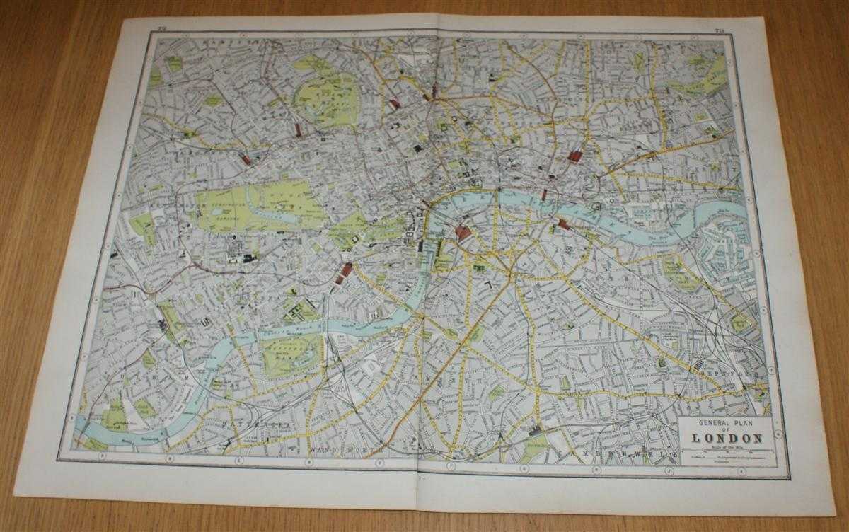
Street Plan of London from Harmsworth's 1922 Atlas of the World
Edited by J. A. Hammerton; Miss H. B. Leach, H. W. Cribb and J. T. Rankin · 1922
£19.00 (€22.78 | $25.05 | ¥3,994)
The Educational Book Co. Ltd. London, 1922. Early Edition, Softcover. Very Good Condition/No Dust Jacket. Disbound street plan of Paris from Harmsworth's Atlas of the World and Pictorial Gazetteer. Sheet is in colour and has vertical centre join. Sheet size is approximately 37...

Street Plan of Paris from Harmsworth's 1922 Atlas of the World
Edited by J. A. Hammerton; Miss H. B. Leach, H. W. Cribb and J. T. Rankin · 1922
£19.00 (€22.78 | $25.05 | ¥3,994)
The Educational Book Co. Ltd. London, 1922. Early Edition, Softcover. Very Good Condition/No Dust Jacket. Disbound street plan of Paris from Harmsworth's Atlas of the World and Pictorial Gazetteer. Sheet is in colour and has vertical centre join. Sheet size is approximately 37...