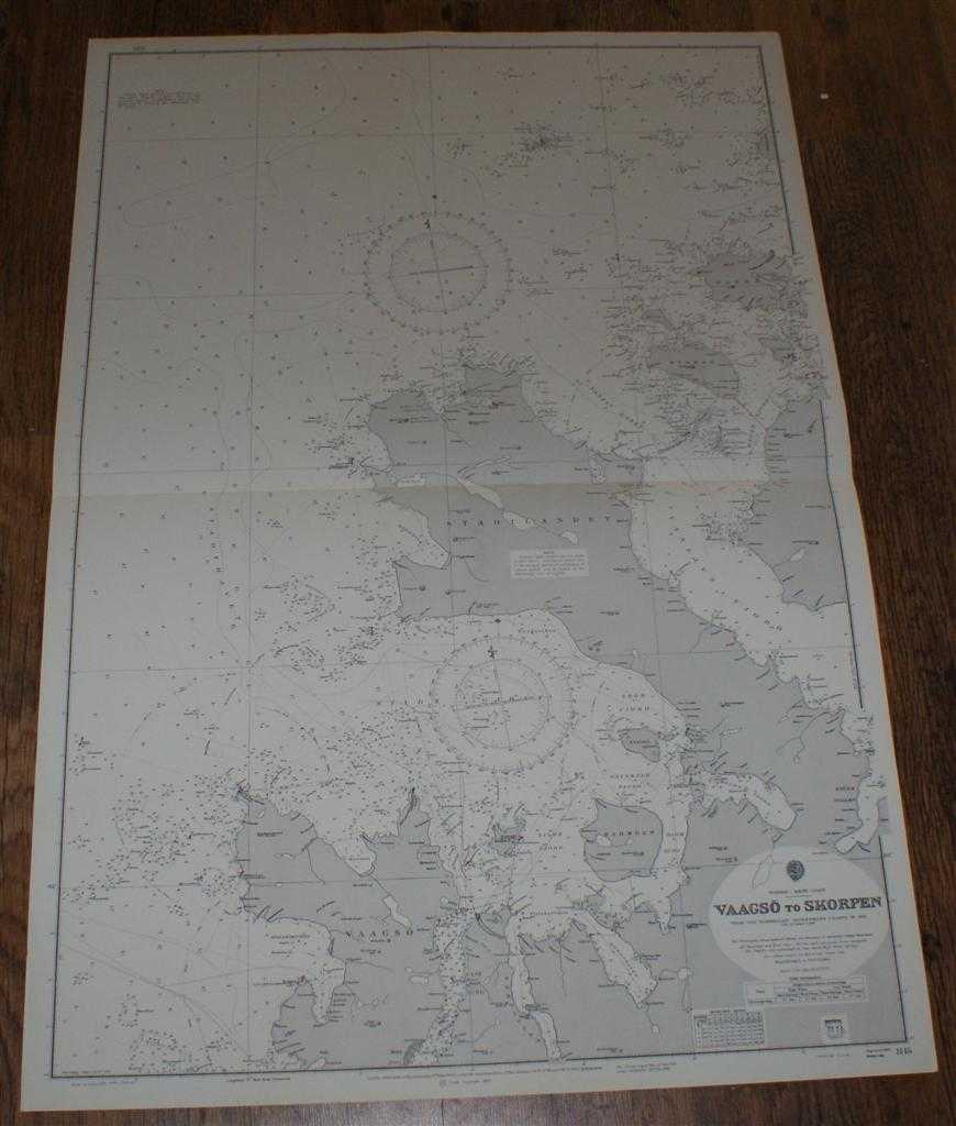
Admiralty — Nautical Chart No. 1145. Norway - West Coast: Vaagso to Skorpen. From The Norwegian Government Charts of 1875 with corrections 1966. Small corrections to 1974. Scale 1:51,000.
Map Admiralty, London, 1974. Revised Edition, Softcover. Very Good Condition/No Dust Jacket. Crisp clean black and white chart. One horizontal fold. Nautical Chart No. 1145. Norway - West Coast: Vaagso to Skorpen. From The Norwegian Government Charts of 1875 with corrections 1966. Small corrections to 1974. Scale 1:51,000. Covers: Norway, Vaagso, Ulve Sund, Kvalhejmsviken, Silden, Barmoen, Flisterpollen, Molde Fjord, Kjodspollen, Seljeo, Skor Fjord, Stadtlandet, Haugs Fjord, Kvamso, Risto, Vokso, Sando, Skorpen. Size: 1040mm x 710mm. Item Type: Map. No dust jacket, as published. Single sheet map/chart which is suitable for framing and will be shipped rolled and in a cardboard tube.. Quantity Available: 1. Shipped Weight: under 1 kg. Pictures of this item not already displayed here available upon request. Inventory No: 45516011050. ISBN: 0853440263