
Ephemera
Ephemera a stampa, cartoline, manifesti e memorabilia stampati.
Risultati della ricerca
45746 libri in Ephemera
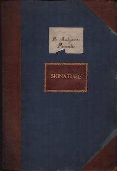
[Autography Collection]
Salzani, M. · 1870 · Wittenborn Art Books
$150.00 (€135.76 | £113.40 | ¥23,980)
[France]. fo. 13 pp. Good. Page boards slightly warped. Covers scuffed on edges. Cardboard pages arranged to separate signed documents of varying date and quality. Some facsimiles included. Text in French and English. Several pages in the back, including: Seven colored plates ...
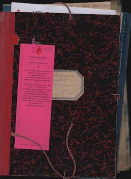
[Religious Lesson of the Midi Catastrophe March 1930]
[Various Authors] · 1930 · Wittenborn Art Books
$150.00 (€135.76 | £113.40 | ¥23,980)
[Early 20th century]. 4to. [9 pp] Good. Folder with set of documents including: an Art-Deco hand-painted wallpaper; a 7-page manuscript titled "Religious lesson of the MIDI catastrophe March 1930," text in French; 18th century Colored etching of man and woman "en commode postu...
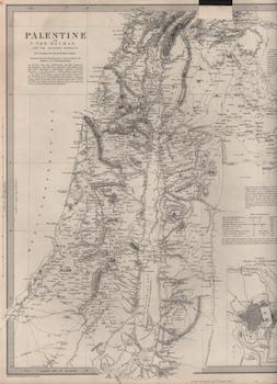
Palestine with the Hauran and the Adjacent Districts
Robinson, Burckhardt, Jacotin, &c · 1843 · Wittenborn Art Books
$150.00 (€135.76 | £113.40 | ¥23,980)
London, England: Chapman and Hall, 1843. Map 35 x 40 cm. Good. Printed in B&W on wove rag paper. Cut and folded section along top edge. Engraved by William Hughes and published under the supervision of the Society for the Diffusion of Useful Knowledge. [Withdrawn from Atlas: "...
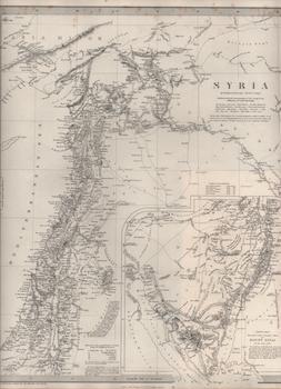
Syria
Chesney, Robinson, Ainsworth, Burckhardt, Rennell &c · 1842 · Wittenborn Art Books
$150.00 (€135.76 | £113.40 | ¥23,980)
London, England: Chapman and Hall, 1842. Map 35 x 40 cm. Very Good. Printed in B&W on wove rag paper. Engraved by William Hughes and published under the supervision of the Society for the Diffusion of Useful Knowledge. Scale: 1 : 2,200,000 [Withdrawn from Atlas: "Maps of the S...
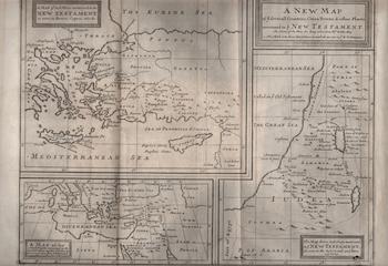
A New Map of Ye Several Countries, Cities, Towns, & Other Places Mentioned in Ye New Testament
[18th Century English Engraver] · 1703 · Wittenborn Art Books
$150.00 (€135.76 | £113.40 | ¥23,980)
London, England: [Awnsham, John Churchill, c.1703]. Map 48 x 34 cm. Very Good. Engraved print in B&W on laid rag paper. Three vertical creases in center. Toning on edges. [Withdrawn from: A Paraphrase And Commentary On The New Testament. The First, containing The Four Gospels,...
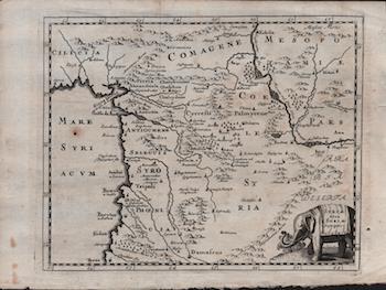
Syriae Sive Soriae Descriptio
[Culverius, Phillippus] · 1711 · Wittenborn Art Books
$150.00 (€135.76 | £113.40 | ¥23,980)
London, England: [Unkown publisher, c.1711]. Map 22 x 30 cm. Very Good. Engraved print in B&W on laid rag paper. Small hole on left side, center. [Scale: 1:2,915,000]. .
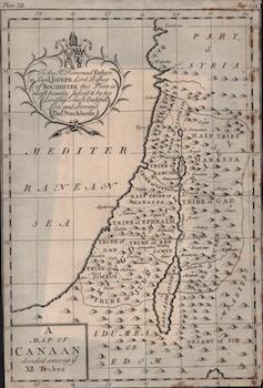
A Map of Canaan Divided Among Ye XII. Tribes
Stackhouse, Thomas · 1744 · Wittenborn Art Books
$150.00 (€135.76 | £113.40 | ¥23,980)
London, England: [Unkown publisher, 1744]. Map 30 x 20 cm. Very Good. Engraved print in B&W on laid paper. Watermark "H." Some foxing. [Withdrawn from book: "A New History of the Holy Bible"]. .
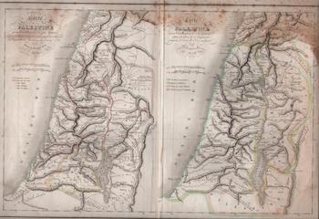
Carte de la Palestine : Pour L'Intelligence de Son Histoire Depuis Les Temps Les Plus Recules Jusqu' Au Retour de la Captivitéde Babylone En 536 Av J.C.
Delamarche, [Félix] · 1838 · Wittenborn Art Books
$150.00 (€135.76 | £113.40 | ¥23,980)
[Paris, France] : [Maison Demarche], 1838. Map - 2 maps on 1 sheet: 47 x 33 cm. Good. Engraved print in B&W with some hand-colored ink on laid paper. Creasing on edges and center of sheet. Toning and foxing along sheet edges and surface. [Withdrawn from book: "Atlas de la Geog...
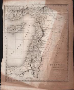
Carte de la Syrie : Appellée En Arabe Barr-El-Cham, C'Est à Dire Pays de la Gauche
Michel, F.P. (sculpt.) · 1821 · Wittenborn Art Books
$150.00 (€135.76 | £113.40 | ¥23,980)
Paris, France: [19th cen. French publisher],1821. Map 35 x 28 cm. Good. Printed in B&W on laid paper. Cut and torn left edge; horizontal tears on right edge. Toning and sun darkening along sheet edges and surface. Engraved by F.P. Michel [Withdrawn from book]. .
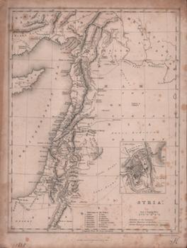
Syria
Carne, John · 1838 · Wittenborn Art Books
$150.00 (€135.76 | £113.40 | ¥23,980)
London, England: Fisher, Son & Co. 1838. Map 27 x 20 cm. Good. Printed in B&W on wove. Small binding holes along left edge. Toning along sheet edges. Engraved by B.R. Davies [Withdrawn from book: The Holy Land, Asia Minor, &c. Illustrated. In a series of views, drawn from natu...
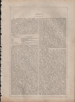
Syria
Warren, H., Allen, J.B., and Rapkin, J. · 1851 · Wittenborn Art Books
$50.00 (€45.25 | £37.80 | ¥7,993)
NY, NY: J. & F. Tallis, 1851. 27 x 36 cm. [2 pp.] Good. Printed in B&W on wove rag. Small binding holes along left edge. Toning along sheet edges. [Withdrawn from book: The Illustrated Atlas, And Modern History Of The World Geographical, Political, Commercial & Statistical]. .
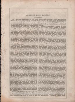
Ancient and Modern Palestine
Warren, H., Allen, J.B., and Rapkin, J. · 1851 · Wittenborn Art Books
$50.00 (€45.25 | £37.80 | ¥7,993)
NY, NY: J. & F. Tallis, 1851. 27 x 36 cm. [4 pp.] Good. Printed in B&W on wove rag. Small binding holes along left edge. Toning along sheet edges. [Withdrawn from book: The Illustrated Atlas, And Modern History Of The World Geographical, Political, Commercial & Statistical]. .
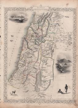
Modern Palestine
Warren, H., Allen, J.B., and Rapkin, J. · 1851 · Wittenborn Art Books
$150.00 (€135.76 | £113.40 | ¥23,980)
NY, NY: J. & F. Tallis, 1851. Map 27 x 36 cm. Good. Printed in B&W with hand-drawn Color ink on wove rag. Small binding holes along left edge. Toning along sheet edges. Small vertical blade incision with small tear in center (under the space between "Jebel" and "Ajlun") Illust...
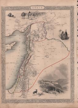
Syria
Warren, H., Allen, J.B., and Rapkin, J. · 1851 · Wittenborn Art Books
$150.00 (€135.76 | £113.40 | ¥23,980)
NY, NY: J. & F. Tallis, 1851. Map 27 x 36 cm. Good. Printed in B&W with hand-drawn Color ink on wove rag. Small binding holes along left edge. Toning along sheet edges. Illustrations by H. Warren, engraved by J.B. Allen; Map drawn and engraved by J. Rapkin [Withdrawn from book...
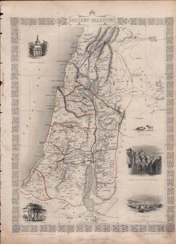
Ancient Palestine
Warren, H., Allen, J.B., and Rapkin, J. · 1851 · Wittenborn Art Books
$150.00 (€135.76 | £113.40 | ¥23,980)
NY, NY: J. & F. Tallis, 1851. Map 27 x 37 cm. Good. Printed in B&W with hand-drawn Color ink on wove rag. Small binding holes along left edge. Toning along sheet edges. Illustrations by H. Warren, engraved by J.B. Allen; Map drawn and engraved by J. Rapkin Scale: 1: 1,077,120 ...
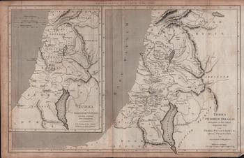
Terra Filiorum Israelis, Antequam in Duo Regna Dispertita Fuit, Cum Terra Philistaeorum, Parte Phoenices, &C. Cura Et Studio D. Macpherson (Geographiae Antiquae, Tab. XXII)
Longman; Hurst; Rees; Orme · 1809 · Wittenborn Art Books
$150.00 (€135.76 | £113.40 | ¥23,980)
London, UK: Paternoster Row, 1809. Map 42 x 27 cm. Good. Printed with B&W ink on wove. Creased from folding. Darkening around edges. Engraved by J. Rufsell. Text in Latin. [Withdrawn from atlas]. .
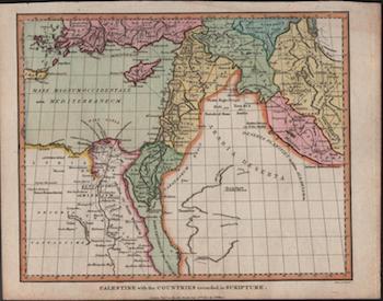
Palestine with the Countries Recorded in Scripture
Wilkes, J. · 1807 · Wittenborn Art Books
$150.00 (€135.76 | £113.40 | ¥23,980)
London, UK: J. Wilkes, 1807. Map cm. Good. Printed with B&W and Color ink on wove. Darkening around edges. Engraved by Neele. .
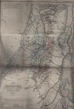
Map of Palestine Chiefly from the Itineraries and Measurements of E. Robinson and E. Smith. Constructed and Drawn by H. Kiepert. 1840 (Section II)
Robinson, Edward; Smith, Eli; Mahlmann, Heinrich, Murray, John · 1841 · Wittenborn Art Books
$150.00 (€135.76 | £113.40 | ¥23,980)
London, UK: John Murray, 1841. Map 46 x 41 cm. Good. Folded Map. Printed with some color ink on wove rag paper. Lithograph by H. Mahlmann, Berlin. [Withdrawn from book: "Biblical Researches in Palestine," by E. Robinson]. .
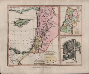
Palestine and Syria (Plate XXXIII)
Patteson, Revd. E. · 1806 · Wittenborn Art Books
$150.00 (€135.76 | £113.40 | ¥23,980)
Surrey, UK: Rev. E. Patteson, 1806. Map 25 x 30 cm. Very Good. Printed with color ink on wove rag paper. Engraved by Neele. [Possibly withdrawn from atlas]. .
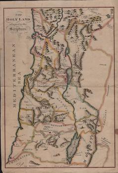
The Holy Land Adapted to the Scriptures
[18th Century English Map Publisher] · 1780 · Wittenborn Art Books
$150.00 (€135.76 | £113.40 | ¥23,980)
[London, UK: 18th Century English Map Publisher, ca. 1780-1800]. Map cm. Good with marginal tears. Printed with some color ink. .