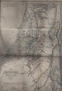
Robinson, Edward; Smith, Eli; Mahlmann, Heinrich, Murray, John — Map of Palestine Chiefly from the Itineraries and Measurements of E. Robinson and E. Smith. Constructed and Drawn by H. Kiepert. 1840 (Section II)
London, UK: John Murray, 1841. Map 46 x 41 cm. Good. Folded Map. Printed with some color ink on wove rag paper. Lithograph by H. Mahlmann, Berlin. [Withdrawn from book: "Biblical Researches in Palestine," by E. Robinson]. .
Machine translation by Google. The original description of the seller is leading.
Log in or create an account to translate descriptions. Accedi
Numero libro:
69-7811
$150.00 (€136.74 | £114.54 | ¥23,825)