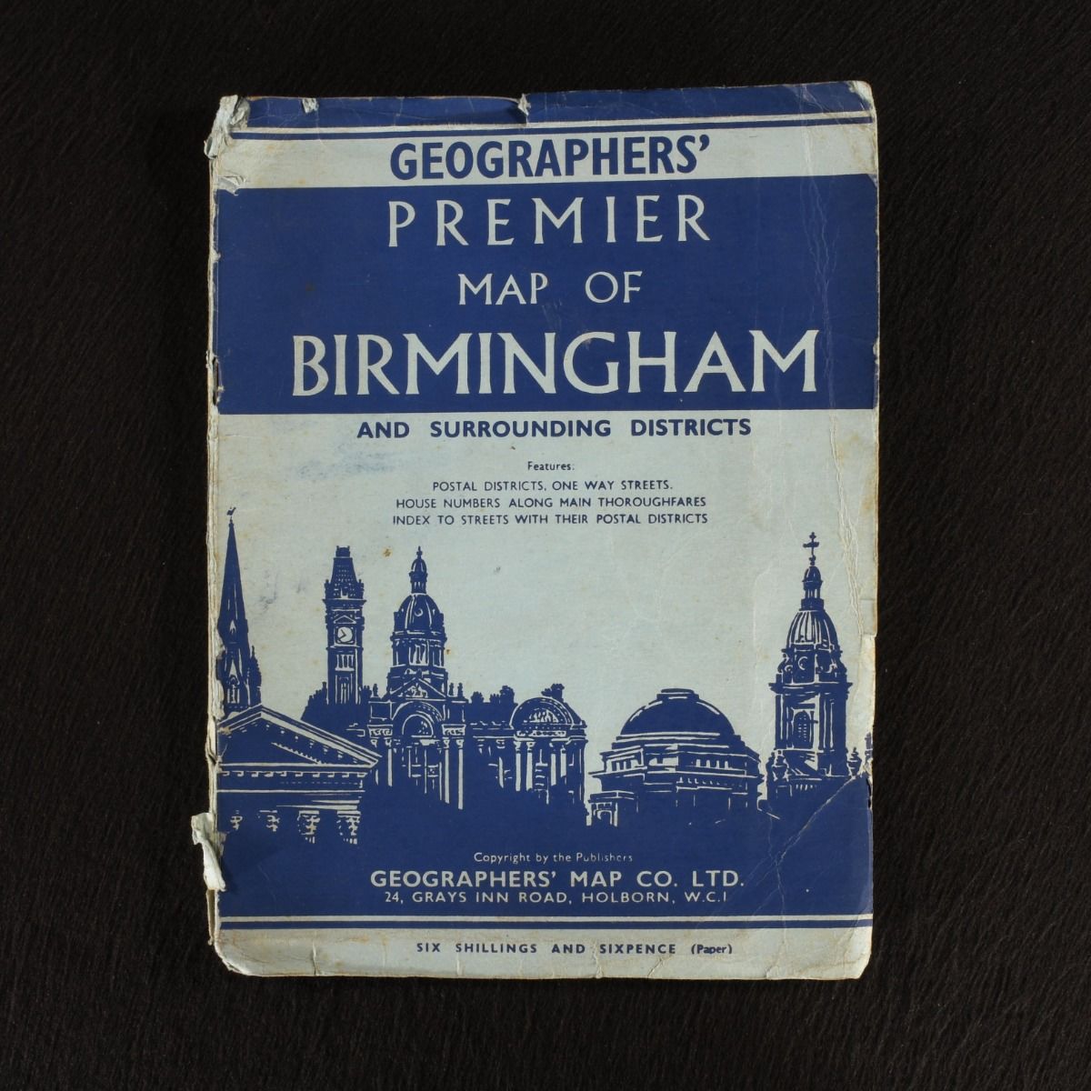
Ph. Pearsall — C1949 Geographers&Apos; Premier Map of Birmingham and Surrounding Districts
London, Geographers' Map Co Ltd, c1949. First edition. Paperback. A very scarce large map depicting Birmingham in the mid-twentieth century, with an useful index depicting transport facilities, markets and more. A very scarce map of Birmingham. With a large full colour folding map, and an index. This volume features a large folding map depicting the streets of Birmingham, highlighting the postal districts, transport facilities, market days and information on populations. Undated, dated by other copies from this series. In the publisher's original paper covers. In the publisher's original paper covers. Externally worn with handling marks, closed tears heaviest to the spine, light spotting, and creasing. Internally, index firmly bound with clean and age toned pages. Map is clean and bright with only the odd very minimal closed tear at the creases. Good . Ill.: Geographers' Map Co Ltd. Good .