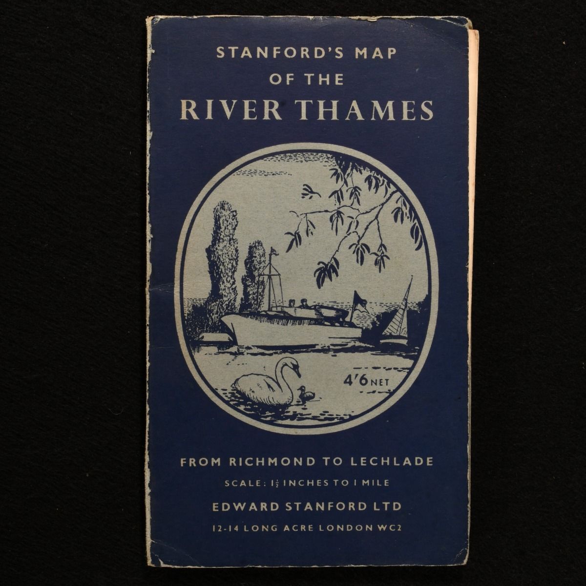
O. M. Watts — Stanford&Apos;S Map of the River Thames from Richmond to Lechlade
London, Edward Stanford, Ltd. 1950 . Paperback. A scarce large folding colour map of the River Thames published by Edward Stanford Ltd. Stanford's Map of The River Thames From Richmond to Lechlade from 1950 prepared under the supervision of Capt. O. M. Watts. A scarce edition of this long folding colour map. Scale of 1 1/2 inches to 1 mile. A long landscape map which is 8.5" by 135". In the original publisher's paper wraps. Externally, sound. There is some wear to the extremities with some light creases and some slight loss to the head and tail of the spine. Internally, firmly bound. There are a few small creases to the map and a few very small tears to the folds. The pages are bright and clean. Good . Ill.: O. M. Watts. Good .