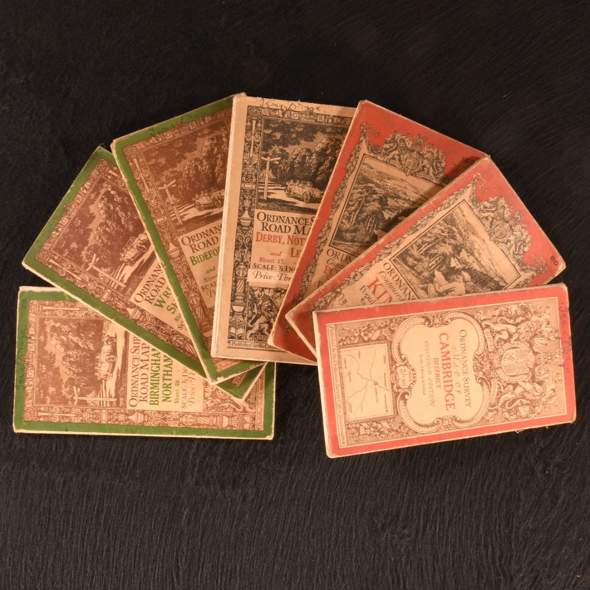
— Ordnance Survey Maps of: Bideford, Tiverton and Ilfracombe, Wrexham and Shrewsbury, Derby, Nottingham and Leicester, Birmingham and Northampton, Portsmouth & Southampton, Kington, and Cambridge District.
Southampton, Ordnance Survey Office, 1910-1923. Cloth. A fantastic set of seven early twentieth-century folding maps of regions in England from the Ordnance Survey Office. A seven volume set. Cloth maps in the publisher's original paper wraps. A selection of sheets from ordnance surveys of places in England. Including four Ordnance Survey Road Maps, scaled 1/2- inch to 1 mile, of: 'Bideford, Tiverton and Ilfracombe' (sheet 31), 'Wrexham and Shrewsbury' (sheet 16), 'Derby, Nottingham and Leicester' (sheet 17), and 'Birmingham and Northampton' (sheet 23). Two Ordnance Survey Contoured Road Maps, the popular editions, scaled one inch to one mile, of: 'Portsmouth & Southampton' (sheet 132), and 'Kington', (sheet 80). One Ordnance Survey Map, the coloured edition, scaled 1 inch to 1 mile of: 'Cambridge District&apos.    Cloth maps in the publisher's original paper wraps. Externally, sunning to wraps, with previous owner's ink inscription to head of all volumes. Shelf wear to extremities with the odd mark. Internally, firmly bound. Maps are bright and clean. Light age toning to maps, with the odd closed tear and spot, with the odd tide mark. Very Good . Ill.: Not Stated. Very Good .