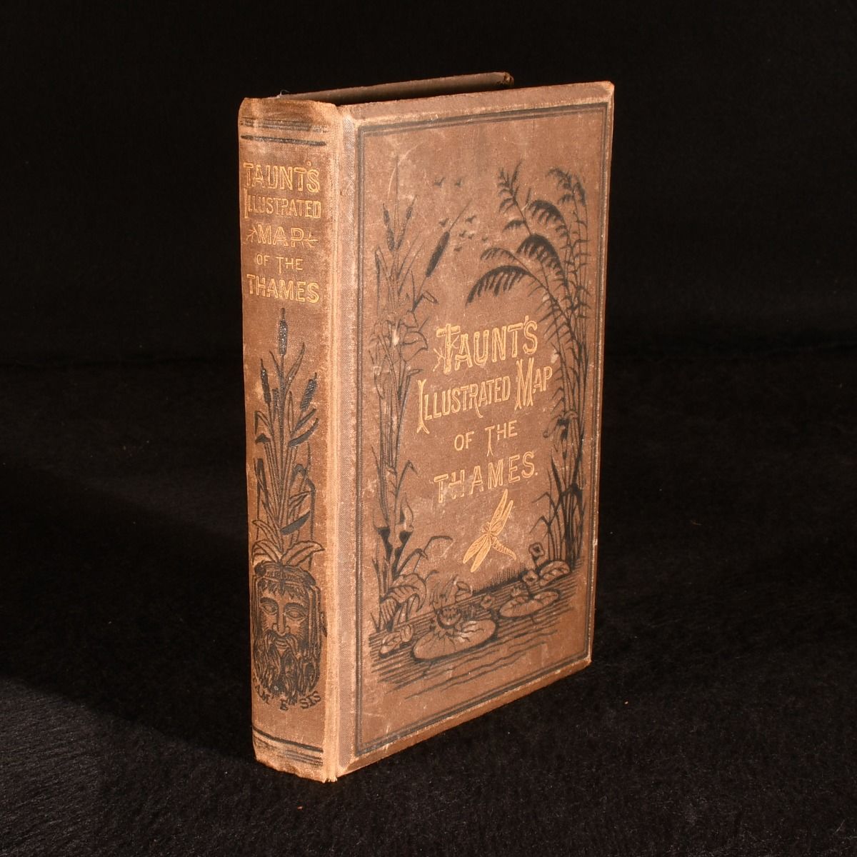
Henry W. Taunt — A New Map of the River Thames, from Thames Head to London, (on a Scale of Two Inches to a Mile,) from Entirely New Surveys Finished During the Summer of 1878, Combined with Guides Giving Every Information Required by the Tourist, the Oarsman, and the Angler
Oxford , Henry W. Taunt and Co. 1879. Cloth. The third edition of Henry W. Taunt's popular guide to the River Thames, illustrated with his distinctive photographs. The third edition of this illustrated guide to the River Thames. In the publisher's original cloth binding.Offering a varied series of trips exploring the River Thames, from entirely new surveys finished during the summer of 1878. With an accompanying itinerary which is extended to the various canals leading out of, or in connection with the Thames.Illustrated with a frontispiece photograph, dual-spread sketch map of the Thames, thirty-three dual-spread plans (each tipped-in with a number of small photographs) and an additional plate with four tipped-in small photographs. Collated, complete. From Henry W. Taunt, a professional photographer, author and publisher whose black-and-white photographs mainly capture views of Oxford and adjoining counties. He produced the first pocket guide to the River Thames to be illustrated with photographs, a notable feat of skill at the beginning of the 1860s.With twenty-two leaves of advertisements to the rear. In the original cloth binding. Externally, hinges failed, leaving text block neatly severed from the boards and spine. With minor fading to the backstrip and marks to the cloth. Rubbing to the extremities. Internally, with one leaf of advertisements detached, but present, otherwise firmly bound. Pages are generally bright and clean, with the odd spot. Minor age toning to the first page. Good Only . Ill.: Henry W. Taunt. Good Only .