Henry Taunt — A New Map of the River Thames from Thames Head to London
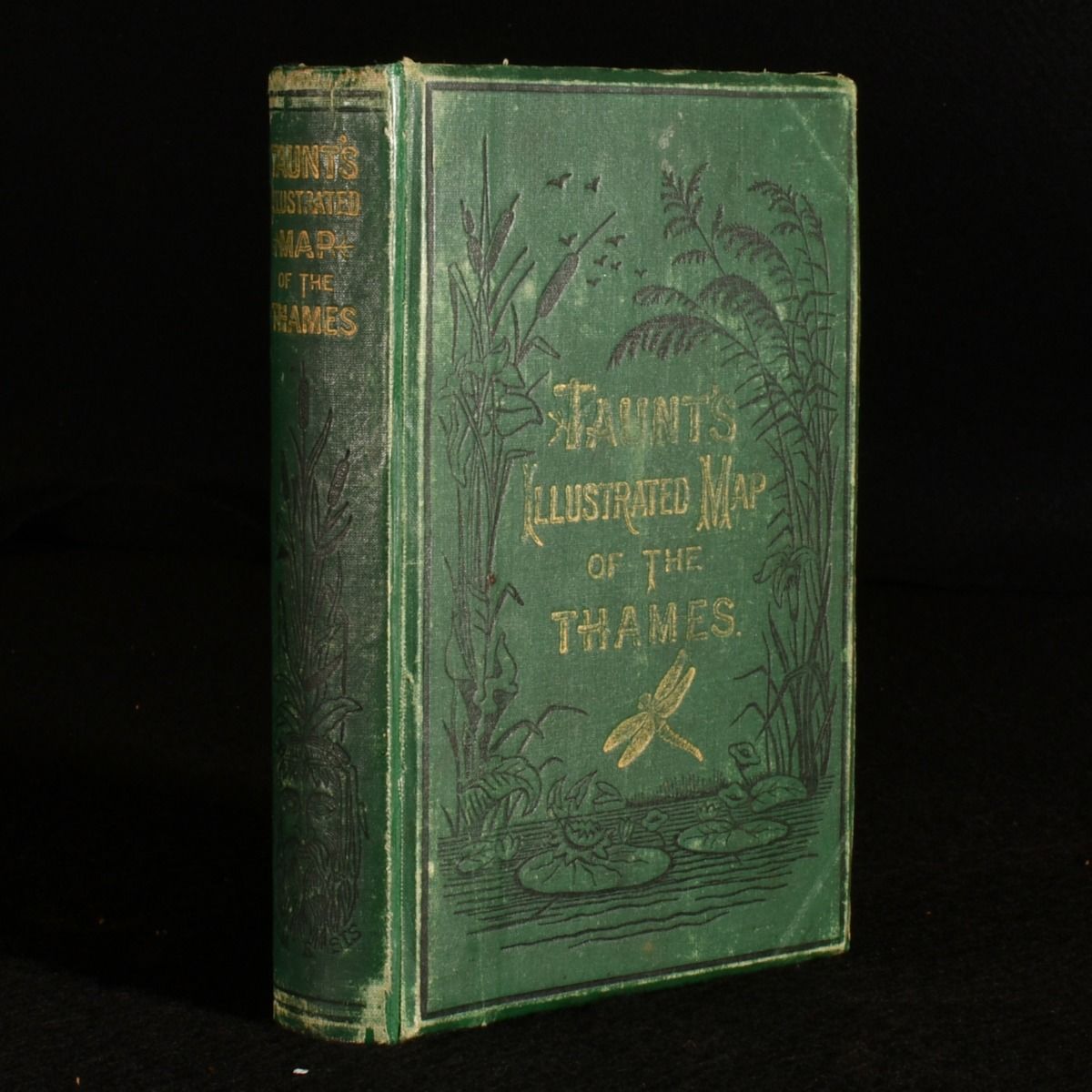
London, Taunt & Co. c1878. Cloth. The fifth edition of Henry Taunt's detailed map on the journey of the River Thames, illustrated throughout with folding maps and tipped in original photographs. A delightful and comprehensive map of the River Thames, from the Thames head to London, drawn on a scale of two inches per mile. Compiled from surveys finished during 1878 and including guides giving topographical information to tourists, oarsmen, and anglers. The fifth edition of this work, which as been edited and augmented with alternations to the river and surrounding areas, particularly around Oxford. Written by Henry Taunt, photographer to the Oxford Architectural and Historical Society. Including two folding maps, thirty-three double page maps, and one hundred and two tipped in original photographs. Collated and complete. Containing eleven pages of advertisements to the front and sixty-three pages of advertisements to the rear. In the publisher's original cloth binding. Rebacked, with the original cloth laid down to the spine and boards. Externally, sound, with some light shelf wear and bumping to the head and tail of the spine and extremities. Internally firmly bound. A tidemark to the frontispiece, and a few spots to the pages, otherwise pages are generally clean throughout. Good . Ill.: Not Stated. Good .