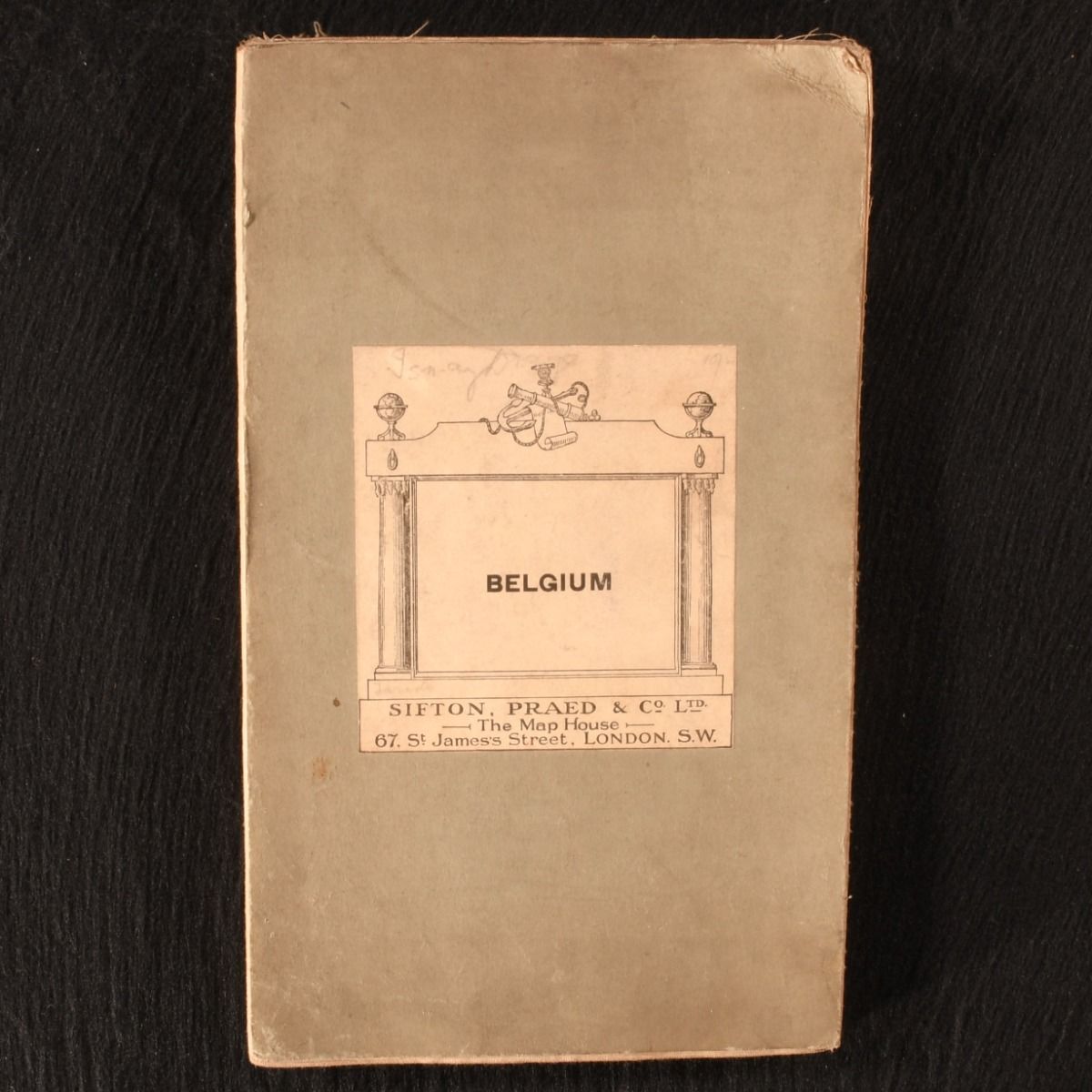
— Map of Belgium
London, Sifton, Praed & Co. Ltd. c1912 . Cloth. A very scarce copy of this impressive folding cloth map of Belgium, published at the Map House by Sifton, Praed & Co. A very scarce map. No. 38. A folding cloth map in the publisher's original green paper wraps. Depicting Belgium, with a key for towpaths for cycles, scenic roads, ascents, dangerous descents, provincial boundary, railways, seaside and thermal resorts, canals, and more. Published by Sifton, Praed & Co. at the Map House in London, who have been selling and supplying maps to collectors, motorists, aviators, explorers, Prime Ministers and the Royal Family for over a century.  A folding cloth map in the publisher's original green paper wraps. Externally, light sunning to extremities, with the odd faint mark. Pencil inscription to title label. Internally, map is firmly bound and bright and clean. Very Good . Ill.: Not Stated. Very Good .