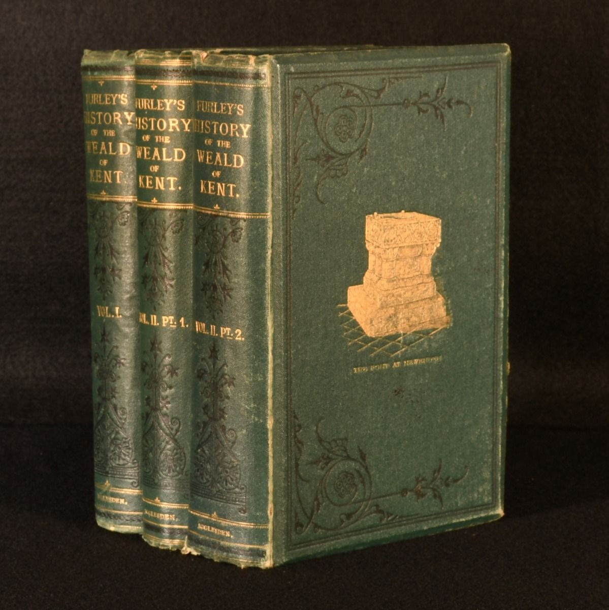
Robert Furley; Henry B. Mackeson — 3 Vols a History of the Weald of Kent, with an Outline of the Early History of the County
Ashford, Henry Igglesden, 1871-1874. First edition. Cloth. The three-part first edition of Furley"s substantial history of the Weald of Kent, illustrated with six folding maps. In the publisher's original green cloth binding with pictorial gilt. First edition. Complete in three volumes. With three folding maps to Volume I, two folding maps to Volume II, Part I, and one folding map to Volume II, Part II. Collated, complete. The Weald is an area of South East England between the parallel chalk escarpments of the North and the South Downs, crossing the counties of Hampshire, Surrey, West Sussex, East Sussex, and Kent. In this work, Robert Furley provides a history of the Weald of Kent, including information on settlements of the Celtic Britons, the Romans, the Anglo-Saxons and the Normans; the civil and ecclesiastical division of Kent; the introduction of the feudal system; and many more historical and ecclesiastical events, and architectural and topographical changes, leading up to the nineteenth century. This work includes a sketch of the physical features of the area by Henry B. Mackeson. In the publisher's original cloth binding. Externally, generally smart. Slight rubbing and bumping to extremities, resulting in minor loss to cloth. Slight rubbing to boards. Internally, generally firmly bound. Pages generally bright and clean if slightly age toned with the odd light spot, heavier to first and last few leaves. Previous owner's inscription to head of title pages. Closed tearing to points of extension of maps, more significantly to map frontispiece in Vol II part I, and the map in Vol II part II. Slight offsetting to contents page of Vol II part II from loosely inserted ephemera. Central map to vol I slightly protruding from text, resulting in minor wear to the margin. Very Good . Ill.: None. Very Good .