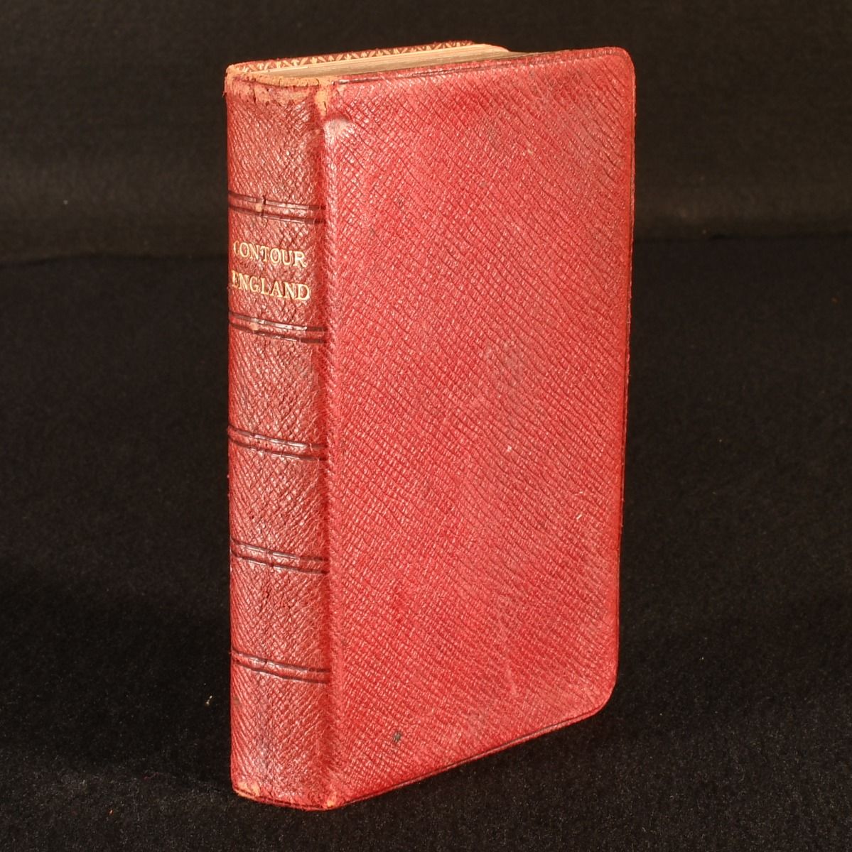
Harry R. G. Inglis — The &Apos;Contour&Apos; Road Book of England
London; Edinburgh, Gall and Inglis, c1900. Leather. A lovely full-morocco book of early road maps for the North and South-East of England. In the publisher's original, red, full-morocco soft covers.  Featuring 1630 maps and plans, including a folding map to the rear.  Undated, dated from copies held by the British Library.  An extensive book of road maps for early British car travel, featuring numerous maps with road elevation plans, resourcefully sectioned by the counties of North and South-East England. In the publisher's original, red, full-morocco soft covers. Signature of the previous owner to the rear of the front free endpaper. Externally, smart with slight bumping and rubbing, resulting in minor loss of leather to spine head and tail, and a couple of more visible marks. Internally, firmly bound. A very bright and clean edition with only the occasional spot, mainly contained to the first and last few pages. Very Good . Ill.: Not Stated. Very Good .