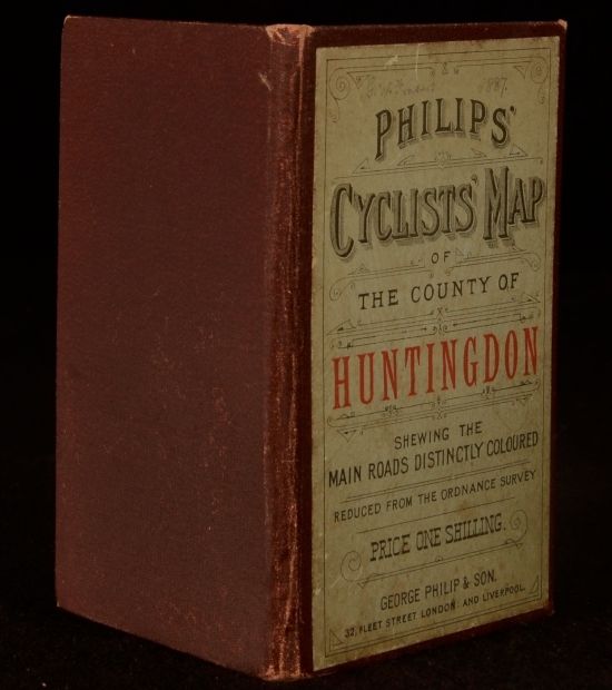
George Philip & Son — Philips&Apos; Cyclists&Apos; Map of the County of Huntingdon Shewing the Main Roads Distinctly Coloured Reduced from the Ordnance Survey
London, George Philip & Son, c1895. Cloth. A very scarce cyclists' map of Huntingdon county published by George Philip & Son. George Philip was a prolific publisher of maps and atlases of the counties of England, updating them to include railways and cyclists' routes as they began appearing in the 19th century. Part of the 'Philips' Cyclists' Maps of the Counties of England' series that covers the following counties: Bedford, Berks, Buckingham, Cambridge, Cheshire, Cornwall, Cumberland, Derby, Devon, Dorset, Durham, Essex, Gloucester, Hampshire, Hereford, Hertford, Huntingdon, Kent, Lancashire, Leicester and Rutland, Lincoln, Middlesex, Monmouth, Norfolk, Northampton, Northumberland, Nottingham, Oxford, Shropshire, Somerset, Stafford, Suffolk, Surrey, Warwick, Westmorland, Wiltshire, Worcester, Yorkshire N.W. Yorkshire N.E. Yorkshire S.W. Yorkshire S.E. North Wales, South Wales, Isle of Wight, and the Isle of Man. In a brown cloth binding. Externally, generally smart with light rubbing in places and light marks to front board. Internally, map is very tender and several sections are detached but present. Map is otherwise bright and clean. Good Only . Ill.: Unnamed. Good Only .