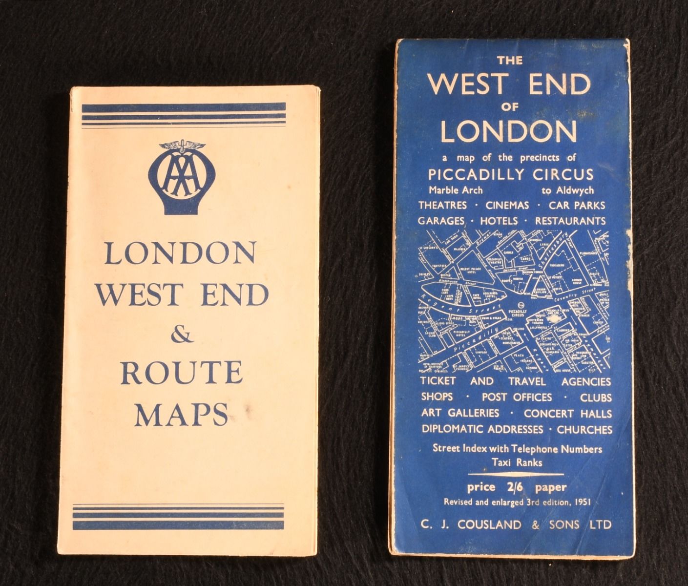
— Collected 20th-Century Pamphlets on the West End of London
London, C. J. Cousland & Sons Ltd.; John Bartholomew & Sons, 1951-1955. Brochure/Pamphlet. A neat pair of folding maps of the West End of London from the mid twentieth-century, in the original publisher's paper wraps. In the original publisher's paper wraps. This pair consists of:C. J. Cousland & Sons publisher's 'The West End of London' map of the precincts of Piccadilly Circus, with ticket and travel agencies, shops, post offices, clubs, art galleries, concert halls, churches, and more (1951). A. A. (Automobile Association)'s 'London West End Route Map', showing garages, official parking places, parking places on bombed sites, one-way streets, and more (1955). In the original publisher's paper wraps. Externally, generally smart. Both copies' paper wraps are age toned with some creasing and the odd mark to the panels. The odd light spot to 'London West End Route Map&apos. Shelf wear and damp staining to edges of 'The West End of London&apos. Internally, firmly bound. Maps are bright if slightly age toned. Very Good . Ill.: Not Stated. Very Good .