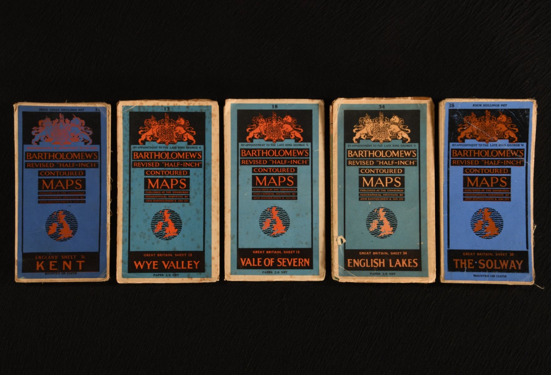
John Bartholomew & Son Ltd. — Bartholomew&Apos;S Revised "Half-Inch" Contoured Maps: Kent; Wye Valley; Vale of Severn; English Lakes; the Solway;
Edinburgh, At The Edinburgh Geographical Institute by John Bartholomew & Son Ltd. 1930-1948. Paperback. Five maps from the series Bartholomew's Revised "Half-Inch" Contoured Maps, recording the topography of Britain. Five maps in the publisher's original paper wraps. England Sheet 31, Kent and Great Britain Sheet 38, The Solway are mounted on cloth. Five maps of beautiful areas around Britain, including the romantic Lake District, picturesque Wye Valley and scenic Solway Coast. John Bartholomew & Son Ltd started publishing their half inch series for Scotland in 1875. The separate England and Wales series appeared in 1897. Lastly, publishing for the unified series for Great Britain began in 1936. The set comprises: England Sheet 31, Kent (1930, dated from the sheet code B30 in the top left-hand corner). With an advertisement for Bartholomew's Pocket Atlases.Great Britain Sheet 13, Wye Valley Great Britain Sheet 18, Vale of Severn Great Britain Sheet 34, English Lakes Great Britain Sheet 38, The SolwayUndated, dated through copies held at the University of Exeter Library. In the publisher's original paper wraps. Externally, generally smart and bright. Scattering of spots to the wrap of 'Wye Valley' and 'Vale of Severn&apos. A little creasing to the rear of the wrap to 'Kent&apos. A few short threads have come loose from the cloth mounting 'Kent' and 'Solway&apos. Tape repairs to the folds of 'Wye Valley' and 'English Lakes', making the latter a little difficult to open. Maps remain bright and clean. Small closed tear to the map and front of the wrap to 'English Lakes&apos. Very Good . Ill.: Not Stated. Very Good .