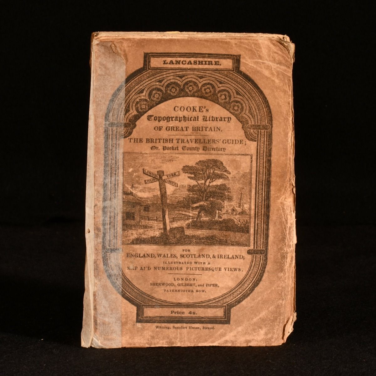
G. A. Cooke — A Topographical and Statistical Description of the County of Lancaster
London, Sherwood, Neely, and Jones, 1830. Paperback. A scarce topographical study of Lancaster, from British academic George Albert Cooke. With a folding map. Scarce work. Dated from the Society of Antiquaries of London Library. Illustrated with one folding map and four plates. A topographical study on Lancaster, with statistical descriptions, and an account of the various towns, rivers, lakes, fisheries, trades, mines, agriculture, and curiosities both natural and historical. Written by George Albert Cooke, a British Anglican clergyman and academic. In the original paper wraps. Externally, worn with shelf wear and minor chipping to the extremities. Front board detached with tape to the edge from previous attempt to repair. Rear board held by cords only. Light loss to the head and tail of the spine. Internally, generally firmly bound with some pages loosening. Pages are bright with the odd handling mark. Good Only . Ill.: Not Stated. Good Only .