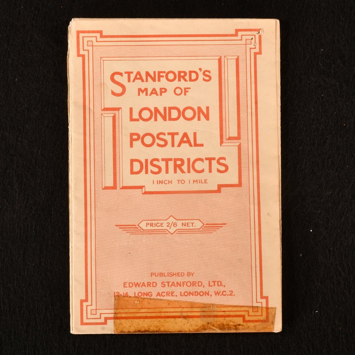
Edward Stanford — Stanford&Apos;S Map of London Postal Districts 1 Inch to 1 Mile
Prima edizione
London , Edward Stanford, 1946 . Brochure/Pamphlet. A colour map of the London postal districts. A copy of this large folding map of the postal districts of London. The scale of the map is one inch to one mile. Each area is colour coordinated. In the original paper wraps. Externally, smart with some tap to the front wrap. With some tape to some of the folds. The map remains clean and bright. Very Good . Ill.: Not Stated. Very Good .
Machine translation by Google. The original description of the seller is leading.
Log in or create an account to translate descriptions. Accedi
Numero libro:
860B110
£45.00 (€53.65 | $58.87 | ¥9,334)