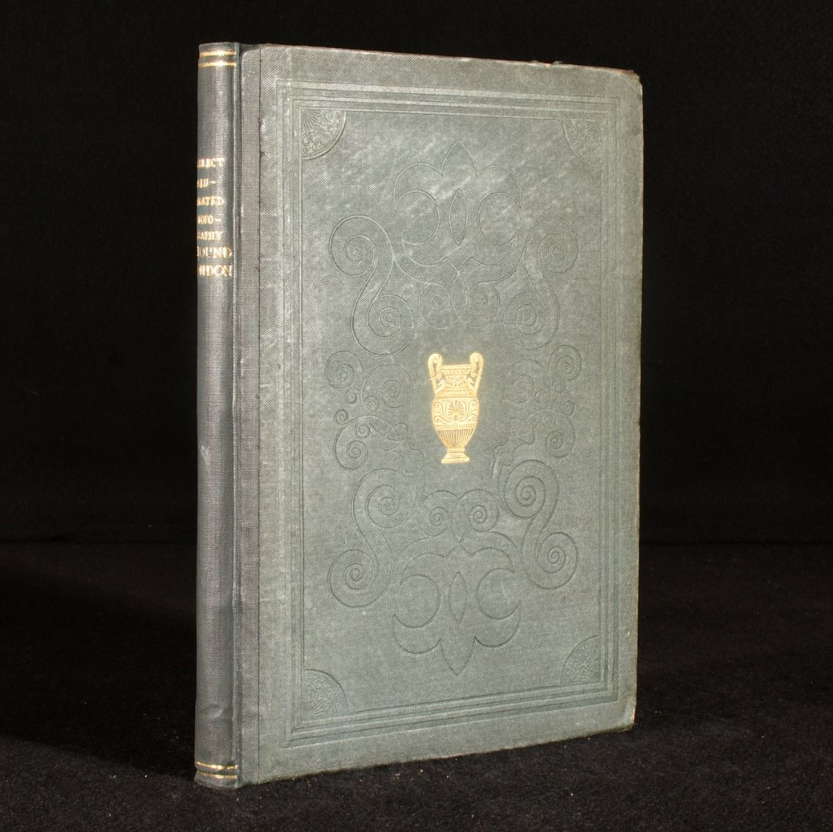
William Edward Trotter — Select Illustrated Topography of Thirty Miles Round London
London , Simpkin Marshall & Co, 1839. Cloth. A copy of Select Illustrated Topography of Thirty Miles Round London, by Edward William Trotter. Select Illustrated Topography of Thirty Miles Round London, comprising views of various places within this circuit with topographical and historical notes. Some of the plates are missing, being the plates of Epsom, Abbey-Church of Saint Albans, Town of St Albans, Hampton, Hampton Court, Rochester, Hornsey, Highgate, Leatherhead, Dorking, Richmond, Twickenham, Sunbury, Sheperton, Chalk Farm Bridge and Ingatestone, being sixteen of thirty four plates missing. With the additional plate of Hillyers Bridge, which is not listed in the contents. With the folding map. Collated. Rebound in cloth binding. Externally, smart with some marks to the boards. Internally, 16 plates missing. Pages are firmly bound and are bright and generally clean with some light spotting to some pages. Good . Ill.: Charles Marshall etc.. Good .