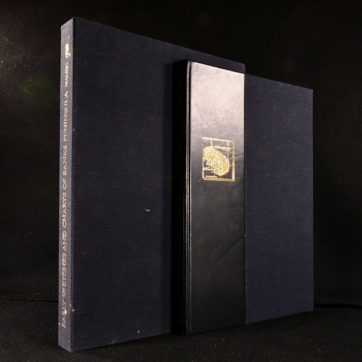
Peter Bromley Maling — Early Sketches and Charts of Banks Peninsula
Wellington, A. H. & A. W. Reed, 1981. Leather. A large limited edition detailing various charts and artwork of Banks Peninsula, New Zealand, in a clamshell box. Banks peninsula is on the South Island of New Zealand, with an area of around 440 square miles. Captain Cook was the first European to sight the peninsula, and traditionally it is used for fishing and farming.Written by Peter Bromley Maling (1912-2006), a Christchurch-based historian, geolographer, ornithologist and photographer.This is a limited edition, number 445 of 500 printed.Profusely illustrated with both colour and black and white plates.From the library of Eric Kenneth Prentice Back. Kenn Back was a British meteorologist with the British Antarctic survey for many years. He spent eight winters in the Antarctic and is a descendent of Captain George Back. In addition, he served as base commander at Halley, Faraday and Rothera stations.  His library collection was built over decades and highlights his love of polar exploration. In a quarter crushed morocco binding. Externally lovely. Internally firmly bound, pages bright and clean. Clamshell box has slight spotting to the exterior but otherwise lovely. Fine . Ill.: None. Fine .