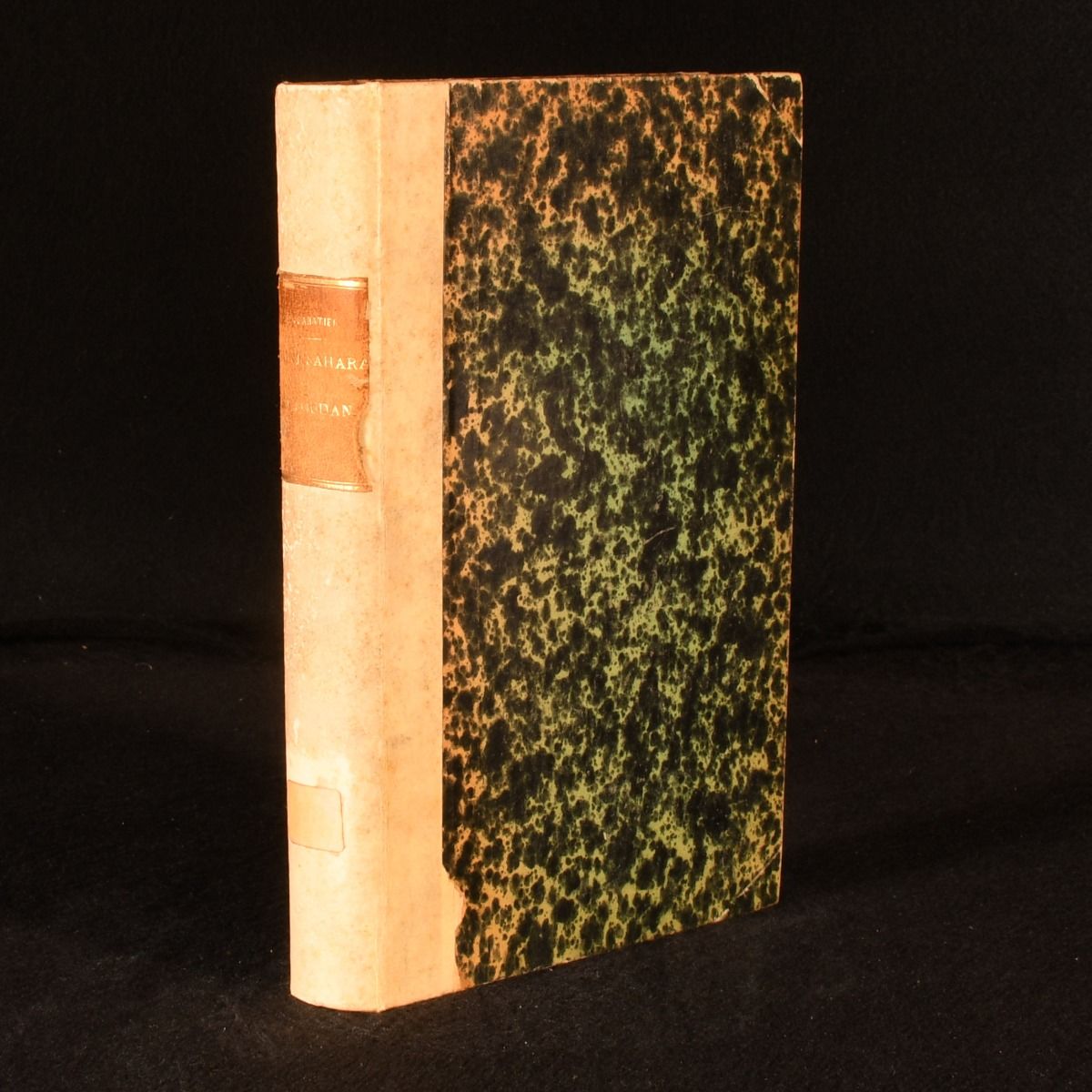
Camille Sabatier — Touat, Sahara Et Soudan (Bibliotheque Generale de Geographie)
Paris , Societe d'Editions Scientifiques , 1891. First edition. Vellum. A scarce French proposal of military occupation and trading routes for Touat, Sahara and Sudan. With a coloured folding map. First edition. Issued for the 'Bibliotheque Generale de Geographie&apos.Scarce.Bound in quarter vellum with speckled boards and leather spine label. Complete with the coloured folding map frontispiece.A comprehensive survey of the geography and various technical and economic conditions of proposed routes across Touat, Sahara and Sudan. With details of the budget for military and administrative occupation of these regions. Written by Camille Sabatier, who is credited with drawing the shortest of all the projected routes for the Trans-Saharan Railway, claiming to have solved all the engineering difficulties presented in its course. Bound in quarter vellum with speckled boards and leather spine label. Externally, smart, with minor lifting to the spine label and faded reference label to the tail of the spine. Discolouration to the vellum. Mild rubbing to the extremities. Internally, firmly bound. Pages are toned, with occasional spots due to paper used. Two 3" closed tears to the folding map. Library ink impression to half title. Good . Ill.: Not Stated. Good .