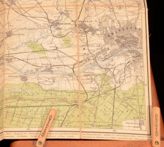
Ludwig Ravenstein — Topograph Karte Vom Oestlichen Taunus
Frankfurt, Ludwig Ravenstein, 1891. Cloth. This is a fold out map of the Taunus region of Germany from 1891. A lovely example of German cartography. The Taunus is a mountain range in Hesse, Germany, located north of Frankfurt. Ludwig Ravenstein was a cartographer and publisher who took over the family business of 'Ravenstein Geographical Publishing House&apos. In a cloth binding. Externally, smart with some rubbing and bumping. Dampstaining to rear board. Cocked. Internally, map is firmly bound. Map is clean and bright. Very Good . Ill.: Unamed. Very Good .
Machine translation by Google. The original description of the seller is leading.
Log in or create an account to translate descriptions. Accedi
Numero libro:
GEN2-B-18
£85.00 (€101.85 | $111.76 | ¥17,811)