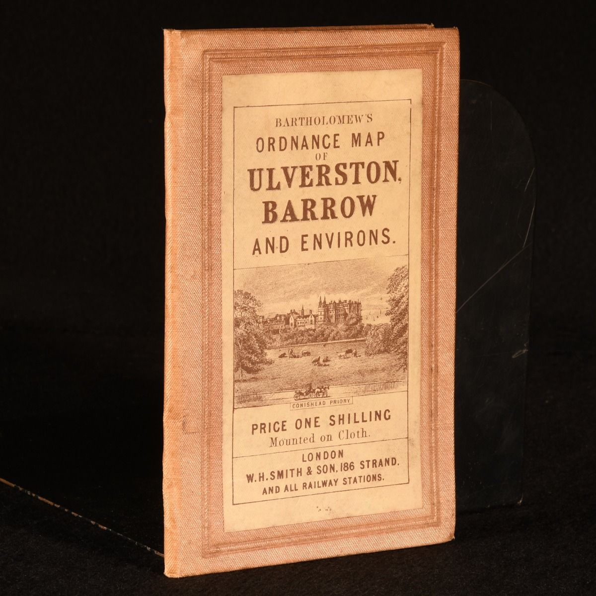
J. Bartholomew — Bartholomew&Apos;S Ordnance Map of Ulverston, Barrow and Its Environs
London, W. H. Smith & Son, c1910. Cloth. A very scarce map of Ulverston, Barrow and its environs from Scottish cartographer John Bartholomew. Very scarce work. A large folding map of Ulverston, a market town and civil parish in Westmorland and Furness, Cumbria, England and its environs mounted on cloth, as well as the neighbouring Barrow-in-Furness, a port town and civil parish. With key roads highlighted in colour. Produced by John Bartholomew Jr, a Scottish cartographer for W. H. Smith & Son. In the original full cloth binding. Externally, smart with light wear to the extremities and the odd small mark. Internally, firmly bound. The map is very bright with the odd small spot. Very Good . Ill.: Not Stated. Very Good .