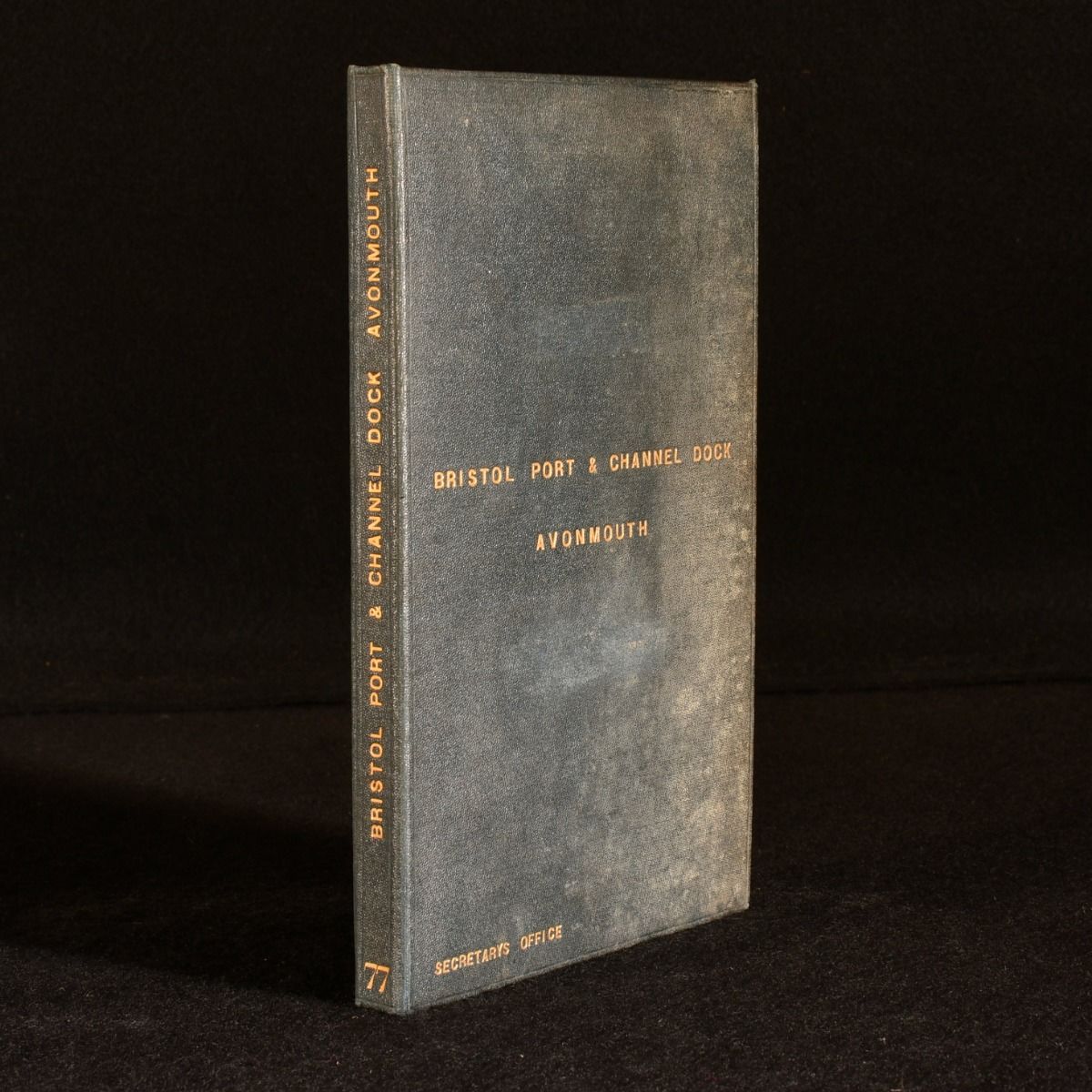
Waterlow & Sons Ltd — Bristol Port and Channel Dock Avonmouth Map
London, Great Western Railway , [1877]. First edition. Cloth. A very scarce map depicting the new railway line and joint venture between BPRP, GWR and Midland Railway, owned by the chief engineer at GWR Paddington. Large scale folding colour map by Waterlow & Son Ltd, bound in full cloth boards. Very scarce. A unique work created for the Chief Engineer at G.W.R. Property of the Chief Engineer at G.W. R. (Great Western Railway) Paddington. This large scale map depicts the Bristol Port and Channel Dock at Avonmouth, the Avonmouth Railway and the newly purchased land by G. W. R. and Midland Railway for sidings. In 1871, BPRP (Bristol Port Railway and Pier) was struggling with silt build up at the terminal pier. BPRP, G. W. R and Midland railway, in a joint venture, created a new line to combat this issue. This map provides the plans for this new line as well as the location of the land purchased for the venture, a description of the plans and importance of the dock and it's railway. Dated by text to the map. In the original cloth. Externally smart with slight fading and tidemarks. Tidemarks to the endpapers. The map is very smart with only slight marks to the front and verso. Stamps with direction to return to the Great Western Railway engineers office to the front and verso of the map. Good . Ill.: Waterlow & Sons. Good .