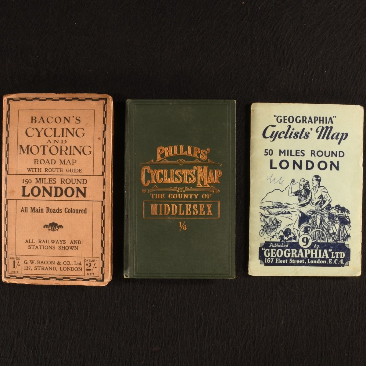
— Cycling and Motoring Maps of London
London , Geographia Ltd.; George Philip & Son; G.W. Bacon & Co. Ltd. c1885-1940. Paperback. A delightful set of three pocket sized maps for cyclists and motorists of the London area. A lovely three volume set of pocket sized maps of the London area. Including:"Geographia" Cyclists' Map 50 Miles Round LondonIn paper wraps with a paper map.Bacon's Cycling and Motoring Road Map with Route Guide 150 Miles Round LondonWith paper wraps in a paper map. All main roads coloured, and all railways and stations shown. Includes a 28 page route guide included, and 6 pages of publisher's advertisements. Philips' Cyclists' Map of the County of Middlesex 1/6Bound in full cloth with a cloth map. In paper and cloth bindings. Externally, smart. Shelf wear to extremities. Mark to rear board of Bacon's map, with age toning to edges. Mark to rear board of Geographia map, with ink inscription to front board. Front hinge cracked of Philips' map. Internally, firmly bound. Pages are clean and bright. Light spotting to cloth Philips' map. Very Good . Ill.: Not Stated. Very Good .