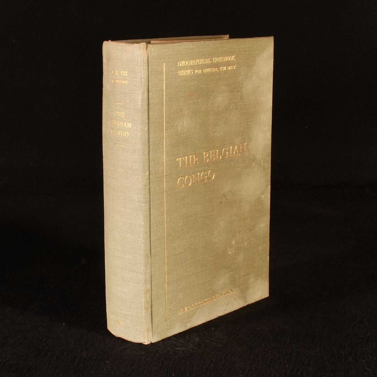
— The Belgian Congo: B.R. 522 (Restricted) Geographical Handbook Series for Official Use Only
Oxford , Naval Intelligence Division [Printed by Oxford and Cambridge University Presses], 1944. First edition. Cloth. A unique guide to the Belgian Congo, issued for use of Naval officers during the Second World War. With folding maps. First edition. In the original cloth binding. "This volume was produced and printed for official purposes during the war 1939/45".In 1915 a Geographical Section was formed in the Naval Intelligence Division of the Admiralty to write Geographical Handbooks on various parts of the world. A later series was deemed necessary to cover countries affected by the Second World War. The purpose of this later series was primarily naval, designed to provide information for the use of Commanding Officers concerning countries which they may have been called upon to visit. This volume deals with all the Belgian territory in Africa, consisting of the colony of the Belgian Congo and the mandate of Ruanda-Urundi, covering its history, population, physical features, climate, public health, agriculture, trade and much more. Illustrated with seven folding maps, two of which are kept in the rear pocket, and numerous in-text figures and photographs. Collated, complete. In the original cloth binding. Externally, with damp staining to the boards, otherwise only minor shelf wear. Bookplate of one Francis E. B. Witts to the front pastedown. Internally, firmly bound. Pages are bright and generally clean, with the odd spot to the first and last few pages. Good . Ill.: Not Stated. Good .