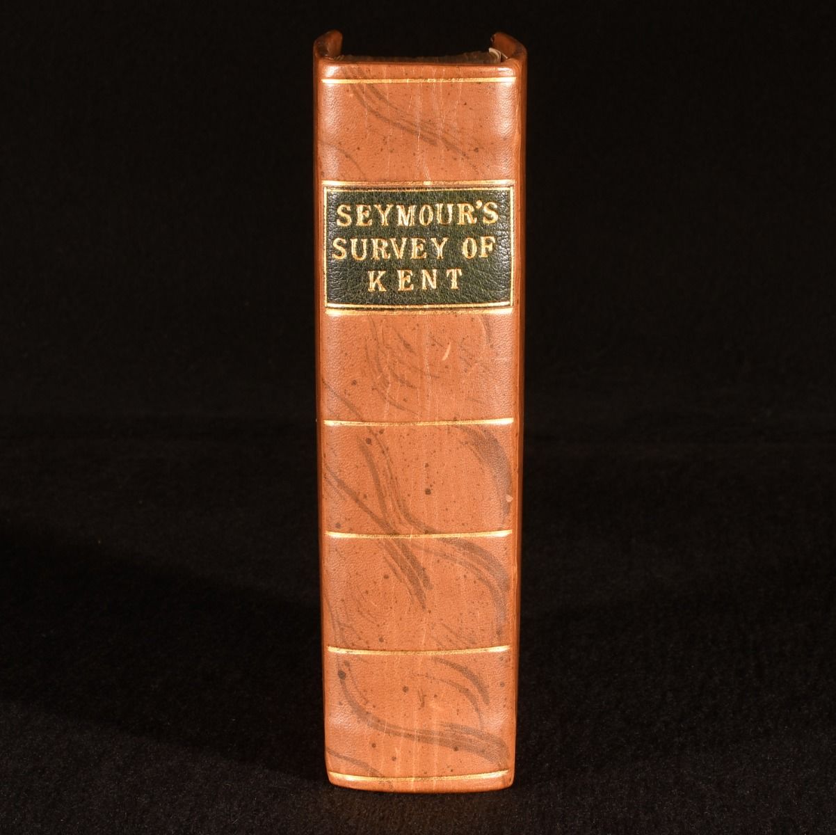
Charles Seymour — A New Topographical, Historical, and Commercial Survey of the Cities, Towns, and Villages, of the County of Kent
London, Printed for the Author, 1776 . First edition. Leather. A wonderful example of the first edition of Charles Seymour's comprehensive gazetteer of the geography, history and commercial state of Kent in the late eighteenth century. The uncommon first edition of this work.Lacking the folding distances chart, this copy is extra illustrated with colour facsimiles of two folding maps, titled 'Map of the River and Roads from London to Gravesend' and 'Langley's New Map of Kent&apos.ESTC T130903Aimed at both travellers and residents, the work blends topographical information with accounts of notable landmarks, historical events, and commercial activities specific various Kent locations.Seymour organises the text alphabetically, creating a practical reference guide that captures Kent"s dual character as both a rural and industrial county.With four 1821 bibliographical notices pasted to the verso of the front free endpaper.Small former owner's inscription to title page head.With the hand signed label of John Garnder of Kent to the rear free endpaper, in which he explains that this work was bound in full calf in February 2012, and that 'every operation was performed entirely by hand&apos. Rebound in full calf by John Gardner, with his inscribed binder's label to a rear blank. Externally, fine. Endpapers renewed. Bibliographical clippings to verso of front free endpaper. Internally, firmly bound. Inscription to title page head. Title page significantly age toned, with spotting to perimeters. Pages otherwise lightly age toned due to paper type, with the odd spot. Restoration to fore edge of final leaf. Significant spotting to final few leaves. Very Good Indeed . Ill.: Not Stated. Very Good Indeed .