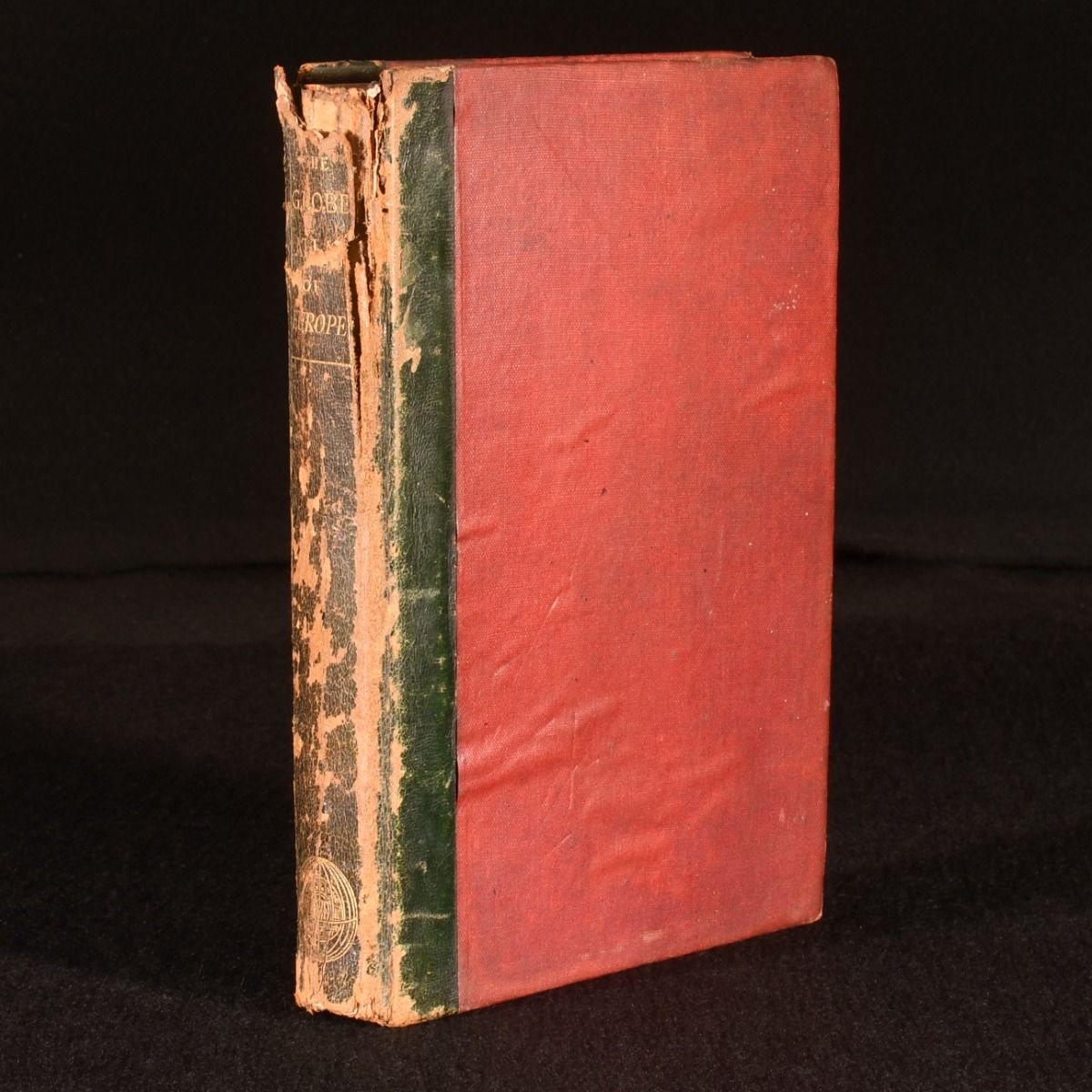
Anonymous — An Atlas of the European States in Forty-Five Maps
London, Macmillan and Co, 1867 . First edition. Leather. The very scarce first edition of this study of mid-nineteenth century Europe, illustrated with a wealth of colour maps. The first edition of this very scarce work.Illustrated with forty-eight colour maps of Europe 'on a uniform scale and projection', and with plans of London and Paris. Many of these maps are double paged.Collated, complete.With an impressive alphabetical index of the maps to the rear.This detailed work presents a fascinating view of Europe in the mid-nineteenth century. In the publisher's original calf backed cloth covered boards. Light cockling to front board. Significant rubbing to back strip and joints, with loss of calf to back strip head. Tide mark to rear board. Joint heads starting, with boards firmly held. Internally, firmly bound. Pages bright and generally clean, with the odd spot. Good Only . Ill.: Not Stated. Good Only .