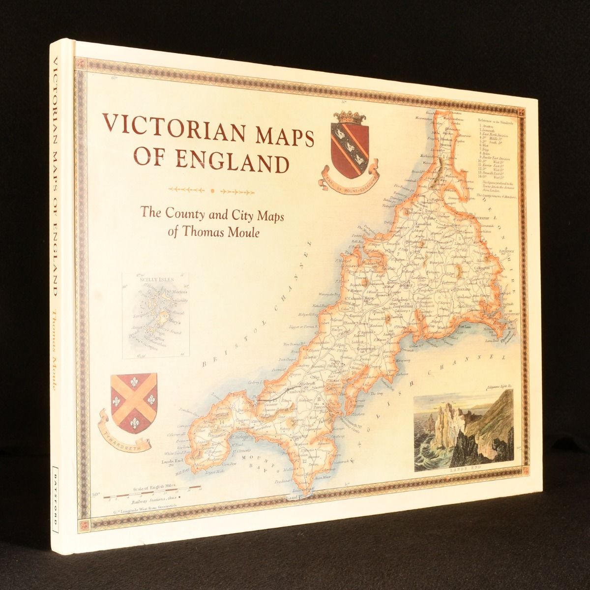
Thomas Moule; John Lee — Victorian Maps of England: The County and City Maps of Thomas Moule
London, Batsford, 2018. Hardback. A very smart copy of this collection of the maps of Thomas Moule, in colour. Illustrated with fifty-two colour maps of the counties and cities of England, with additional colour images. A collection of the maps of Thomas Moule, an English antiquarian, writer on heraldry, and one of Victorian England's most influential map-makers best known for his highly decorated county maps of England, first published in the 1830s. With an introduction from Moule, and a commentary on him by John Lee, an English scholar and editor. In the original pictorial paper covered boards. Externally, very smart with light shelf wear to the extremities. Internally, firmly bound. Pages are very bright and clean throughout. Near Fine . Ill.: Thomas Moule. Near Fine .