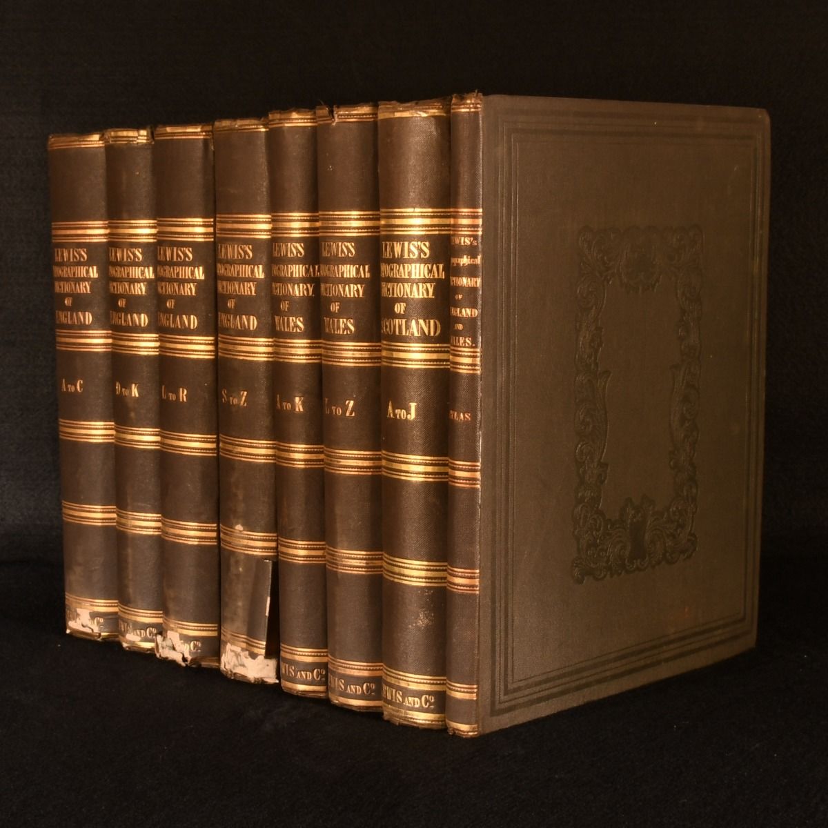
Samuel Lewis — 8 Vols Topographical Dictionaries of England, Scotland, and Wales with Atlas Volume
London, S. Lewis and Co. 1842-1846. Cloth. An extensive, uniformly bound collection of Lewis"s celebrated topographical dictionaries, including the complete England and Wales texts, and the atlas volume containing fifty-four engraved maps. Uniformly bound in the publisher's original brown blind stamped cloth binding. An extensive collection of Lewis"s topographical dictionaries, comprising the complete text volumes for England and Wales, their combined atlas, and Volume I only of the Scotland dictionary. llustrated throughout the text with engraved arms and seals of cities, boroughs, bishoprics, universities and municipal corporations. With the atlas volume, containing fifty-seven engraved maps, including a large folding general map of England and Wales, a folding plan of London and its environs, county maps and maps of Guernsey, Jersey and Man. Collated, complete. Compromising: 1842 A Topographical Dictionary of England. The fifth edition, following the first edition of 1831. Complete in four volumes: Volume I, AÂC; Volume II, DÂK; Volume III, LÂR; Volume IV, SÂZ. 1842 A Topographical Dictionary of Wales. The second edition, following the first edition of 1833. Complete in two volumes: Volume I, AÂK; Volume II, LÂZ. 1842 An Atlas, Comprising Maps of the Several Counties, Divided into Unions, and of the Islands of Guernsey, Jersey, and Man; with a Map of England and Wales, and a Plan of London and its Environs. 1846 A Topographical Dictionary of Scotland. The first edition. Volume I only, extending from Abbey to Jura. The work was issued in two text volumes with a supplementary atlas volume; the atlas and Volume II are not present in this set. Samuel Lewis (1782/3-1865) was a British editor, publisher and cartographer best known for his extensive topographical dictionaries of the British Isles. Compiled from local correspondence, official returns and earlier historical sources, his dictionaries remain valuable records of British communities during the first half of the 19th century In the publisher's original cloth binding. Externally, generally smart. Slight rubbing and bumping to extremities, heavier to corners and spine ends, resulting in minor loss to cloth. Slight lifting to the cloth at the head of "England" Vol II; loss and lifting to the tail of the spine of "England" Vol III. Small closed tear to the head of the spine of "Wales" Vol II. Bookplates to the front paste downs of "England." Binder's discreet ticket of paste downs of the first volumes to each set. Internally, generally firmly bound. Hinges slightly strained in places, but firm. Pages bright and clean with slight marginal age toning and the odd light spot to fore edge of first and last few leaves. One or two small closed tears to maps at points of extension and intersections, with 4 inch tear to general map of England and Wales at point of extension. Very Good . Ill.: None Stated. Very Good .